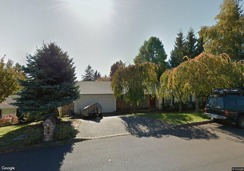
719 SW 1st St Dundee, OR 97115
Dundee NeighborhoodEstimated Value: $504,318 - $597,000
3
Beds
2
Baths
1,649
Sq Ft
$336/Sq Ft
Est. Value
About This Home
This home is located at 719 SW 1st St, Dundee, OR 97115 and is currently estimated at $554,330, approximately $336 per square foot. 719 SW 1st St is a home located in Yamhill County with nearby schools including Dundee Elementary School, Chehalem Valley Middle School, and Newberg Senior High School.
Ownership History
Date
Name
Owned For
Owner Type
Purchase Details
Closed on
May 27, 2025
Sold by
Hopp Randy W
Bought by
Randy Hopp Trust and Hopp
Current Estimated Value
Purchase Details
Closed on
May 18, 2021
Sold by
Hopp Allan
Bought by
Hopp Allan R and Hopp Carla G
Purchase Details
Closed on
Oct 26, 2012
Sold by
Howard Darin D and Howard Jennifer Sue
Bought by
Hopp Allan and Hopp Randy
Create a Home Valuation Report for This Property
The Home Valuation Report is an in-depth analysis detailing your home's value as well as a comparison with similar homes in the area
Home Values in the Area
Average Home Value in this Area
Purchase History
| Date | Buyer | Sale Price | Title Company |
|---|---|---|---|
| Randy Hopp Trust | -- | None Listed On Document | |
| Hopp Allan R | -- | None Available | |
| Hopp Allan | $136,450 | Ticor Title Company |
Source: Public Records
Tax History Compared to Growth
Tax History
| Year | Tax Paid | Tax Assessment Tax Assessment Total Assessment is a certain percentage of the fair market value that is determined by local assessors to be the total taxable value of land and additions on the property. | Land | Improvement |
|---|---|---|---|---|
| 2025 | $3,931 | $278,405 | -- | -- |
| 2024 | $3,679 | $270,296 | -- | -- |
| 2023 | $3,576 | $262,423 | $0 | $0 |
| 2022 | $3,508 | $254,780 | $0 | $0 |
| 2021 | $3,437 | $247,359 | $0 | $0 |
| 2020 | $3,083 | $240,154 | $0 | $0 |
| 2019 | $3,083 | $233,159 | $0 | $0 |
| 2018 | $3,134 | $226,368 | $0 | $0 |
| 2017 | $3,415 | $219,775 | $0 | $0 |
| 2016 | $3,357 | $213,374 | $0 | $0 |
| 2015 | $3,239 | $207,161 | $0 | $0 |
| 2014 | $2,923 | $201,129 | $0 | $0 |
Source: Public Records
Map
Nearby Homes
- 310 SW Birch St
- 623 SW 5th St
- 287 SW Oliver Ct
- 166 NW Cherry St
- 1039 SW Upland Dr
- 980 SW 7th St
- 409 SW Red Hills Dr
- 759 SW Carmen Heights Dr
- 179 Oregon 99w
- 580 SW 9th St
- 625 SW 9th St Unit 32
- 1029 SW View Crest Dr
- 986 SW Tomahawk Place
- 906 SW Alder St Unit 4
- 10623 NE Fox Farm Rd
- 10580 NE Fox Farm Rd
- 1277 SW 11th St
- 22305 NE Ilafern Ln
- 20850 NE Big Fir Ln
- 9989 NE Trillium Ln
- 679 SW 1st St
- 105 SW Spruce St
- 109 SW Spruce St
- 759 SW 1st St
- 680 NW 1st St
- 142 SW Hemlock St
- 759 NW 1st St
- 720 NW 1st St
- 110 SW Spruce St
- 0 NW 1st St
- 760 NW 1st St
- 176 SW Hemlock St
- 125 SW Spruce St
- 109 SW Hemlock St
- 779 SW 1st St
- 175 NW Chardonnay Dr
- 175 NW Chardonnay St
- 109 SW Hawthorne Ct
- 125 SW Hemlock St
- 176 NW Carmel Cir