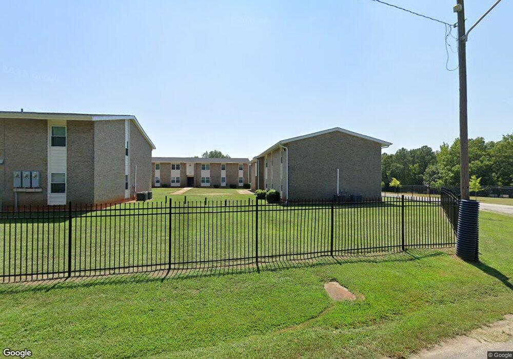
719 W Mauldin St Anderson, SC 29625
4
Beds
--
Bath
1,150
Sq Ft
5.7
Acres
About This Home
This home is located at 719 W Mauldin St, Anderson, SC 29625. 719 W Mauldin St is a home located in Anderson County with nearby schools including Whitehall Elementary School, Westside High School, and Anderson Institute of Technology.
Ownership History
Date
Name
Owned For
Owner Type
Purchase Details
Closed on
Dec 25, 2020
Sold by
Related Friendship Court Llc
Bought by
Friendship Sc Preservation Lp
Home Financials for this Owner
Home Financials are based on the most recent Mortgage that was taken out on this home.
Original Mortgage
$500,000
Outstanding Balance
$445,937
Interest Rate
2.67%
Mortgage Type
New Conventional
Purchase Details
Closed on
Apr 13, 2007
Sold by
Friendship Court Lp
Bought by
Related Friendship Court Llc
Create a Home Valuation Report for This Property
The Home Valuation Report is an in-depth analysis detailing your home's value as well as a comparison with similar homes in the area
Home Values in the Area
Average Home Value in this Area
Purchase History
| Date | Buyer | Sale Price | Title Company |
|---|---|---|---|
| Friendship Sc Preservation Lp | $3,800,000 | None Available | |
| Related Friendship Court Llc | $1,800,000 | Fidelity Natl Title Ins Co |
Source: Public Records
Mortgage History
| Date | Status | Borrower | Loan Amount |
|---|---|---|---|
| Open | Friendship Sc Preservation Lp | $500,000 | |
| Open | Friendship Sc Preservation Lp | $6,300,000 |
Source: Public Records
Tax History Compared to Growth
Tax History
| Year | Tax Paid | Tax Assessment Tax Assessment Total Assessment is a certain percentage of the fair market value that is determined by local assessors to be the total taxable value of land and additions on the property. | Land | Improvement |
|---|---|---|---|---|
| 2024 | $40,479 | $289,450 | $5,650 | $283,800 |
| 2023 | $40,479 | $289,450 | $5,650 | $283,800 |
| 2022 | $97,367 | $222,250 | $5,650 | $216,600 |
| 2021 | $104,317 | $227,850 | $5,130 | $222,720 |
| 2020 | $40,580 | $81,510 | $5,130 | $76,380 |
| 2019 | $40,580 | $81,510 | $5,130 | $76,380 |
| 2018 | $40,221 | $81,510 | $5,130 | $76,380 |
| 2017 | -- | $81,510 | $5,130 | $76,380 |
| 2016 | $38,631 | $78,550 | $5,130 | $73,420 |
| 2015 | $38,699 | $78,550 | $5,130 | $73,420 |
| 2014 | $37,954 | $78,550 | $5,130 | $73,420 |
Source: Public Records
Map
Nearby Homes
- 3.AC S Mcduffie Unit 920 S MAIN, 106 W FR
- 712 W Mauldin St
- 706 W Mauldin St
- 704 W Mauldin St
- 800 W Mauldin St
- 700 W Mauldin St
- 1703 Martin Ave
- 1600 W End Ave
- 102 Phillips St
- 1705 Martin Ave
- 806 W Mauldin St
- 101 Phillips St
- 611 W Mauldin St
- 126 Zeno St
- 103 Phillips St
- 1514 W End Ave
- 104 Phillips St
- 608 W Mauldin St
- 1004 Boggs St
- 1512 W End Ave