7190 Crownwest St Unit 7190 Houston, TX 77072
Alief NeighborhoodEstimated Value: $124,000 - $152,000
3
Beds
2
Baths
1,136
Sq Ft
$123/Sq Ft
Est. Value
About This Home
This home is located at 7190 Crownwest St Unit 7190, Houston, TX 77072 and is currently estimated at $139,340, approximately $122 per square foot. 7190 Crownwest St Unit 7190 is a home located in Harris County with nearby schools including Youens Elementary School, Youngblood Intermediate School, and Elsik High School.
Ownership History
Date
Name
Owned For
Owner Type
Purchase Details
Closed on
Jul 18, 2025
Sold by
Russell Christina C
Bought by
Russell Living Trust and Russell
Current Estimated Value
Purchase Details
Closed on
Jul 21, 2006
Sold by
Vannguyen Phong and Nguyen Tiffany
Bought by
Sobczynski Hoa N
Home Financials for this Owner
Home Financials are based on the most recent Mortgage that was taken out on this home.
Original Mortgage
$48,750
Interest Rate
6.62%
Mortgage Type
Stand Alone First
Create a Home Valuation Report for This Property
The Home Valuation Report is an in-depth analysis detailing your home's value as well as a comparison with similar homes in the area
Home Values in the Area
Average Home Value in this Area
Purchase History
| Date | Buyer | Sale Price | Title Company |
|---|---|---|---|
| Russell Living Trust | -- | None Listed On Document | |
| Sobczynski Hoa N | -- | Etc |
Source: Public Records
Mortgage History
| Date | Status | Borrower | Loan Amount |
|---|---|---|---|
| Previous Owner | Sobczynski Hoa N | $48,750 |
Source: Public Records
Tax History Compared to Growth
Tax History
| Year | Tax Paid | Tax Assessment Tax Assessment Total Assessment is a certain percentage of the fair market value that is determined by local assessors to be the total taxable value of land and additions on the property. | Land | Improvement |
|---|---|---|---|---|
| 2025 | $3,252 | $136,437 | $40,000 | $96,437 |
| 2024 | $3,252 | $143,144 | $40,000 | $103,144 |
| 2023 | $3,252 | $147,337 | $40,000 | $107,337 |
| 2022 | $2,995 | $123,482 | $30,000 | $93,482 |
| 2021 | $2,604 | $106,681 | $20,000 | $86,681 |
| 2020 | $2,653 | $104,897 | $20,000 | $84,897 |
| 2019 | $2,514 | $91,307 | $20,000 | $71,307 |
| 2018 | $1,010 | $75,912 | $15,000 | $60,912 |
| 2017 | $2,070 | $75,912 | $15,000 | $60,912 |
| 2016 | $1,634 | $59,939 | $15,000 | $44,939 |
| 2015 | $1,151 | $59,939 | $15,000 | $44,939 |
| 2014 | $1,151 | $43,376 | $15,000 | $28,376 |
Source: Public Records
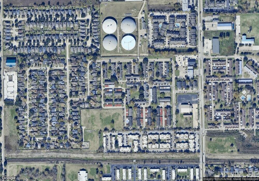
Map
Nearby Homes
- 7204 Crownwest St Unit 7204
- 12469 Sharpview Dr Unit 2469
- 7282 Crownwest St Unit 7282
- 7322 Crownwest St Unit 7322
- 12419 Bear Valley Dr
- 7267 Cook Rd
- 7323 Cook Rd
- 7237 Cook Rd
- 12223 Sharpview Dr
- 12503 Autumn Leaf Ln
- 7122 S Dairy Ashford Rd
- 12709 Carvel Ln
- 7010 S Dairy Ashford Rd
- 7140 S Dairy Ashford Rd
- 7016 S Dairy Ashford Rd
- 7457 Cook Rd
- 7449 Cook Rd
- 7822 Pacific Pearl St
- 12412 Garden Estate St
- 12317 Crest Lake Dr
- 7192 Crownwest St Unit 7192
- 7194 Crownwest St Unit 7194
- 7186 Crownwest St Unit 7186
- 7184 Crownwest St Unit 7184
- 7202 Crownwest St Unit 7202
- 7182 Crownwest St Unit 7182
- 7196 Crownwest St Unit 7196
- 7206 Crownwest St Unit 7206
- 7180 Crownwest St Unit 7180
- 7208 Crownwest St Unit 7208
- 7198 Crownwest St Unit 7198
- 7210 Crownwest St Unit 7210
- 12419 Sharpview Dr
- 7178 Crownwest St Unit 7178
- 12417 Sharpview Dr Unit 2417
- 12415 Sharpview Dr Unit 2415
- 7240 Crownwest St Unit 7240
- 7176 Crownwest St Unit 7176
- 7238 Crownwest St Unit 7238
- 12413 Sharpview Dr Unit 2413