Estimated Value: $418,000 - $464,866
4
Beds
3
Baths
1,905
Sq Ft
$231/Sq Ft
Est. Value
About This Home
This home is located at 7190 Worcester Rd, Palo, IA 52324 and is currently estimated at $439,217, approximately $230 per square foot. 7190 Worcester Rd is a home located in Linn County with nearby schools including Junction City Elementary School, North Middletown Elementary School, and Truman Elementary School.
Ownership History
Date
Name
Owned For
Owner Type
Purchase Details
Closed on
Feb 8, 2021
Sold by
Durfey Christine and Day Christine
Bought by
Day Shawn
Current Estimated Value
Purchase Details
Closed on
Aug 17, 2002
Sold by
Kahl Steven M and Kahl Marjorie Brent
Bought by
Day Shawn and Day Christine
Home Financials for this Owner
Home Financials are based on the most recent Mortgage that was taken out on this home.
Original Mortgage
$197,600
Outstanding Balance
$84,092
Interest Rate
6.63%
Estimated Equity
$355,125
Purchase Details
Closed on
Sep 23, 2000
Sold by
Mccullough Gale L and Mccullough Mary F
Bought by
Kahl Steven M
Home Financials for this Owner
Home Financials are based on the most recent Mortgage that was taken out on this home.
Original Mortgage
$203,000
Interest Rate
7.98%
Mortgage Type
VA
Create a Home Valuation Report for This Property
The Home Valuation Report is an in-depth analysis detailing your home's value as well as a comparison with similar homes in the area
Home Values in the Area
Average Home Value in this Area
Purchase History
| Date | Buyer | Sale Price | Title Company |
|---|---|---|---|
| Day Shawn | -- | None Available | |
| Day Shawn | $246,500 | -- | |
| Kahl Steven M | $204,500 | -- |
Source: Public Records
Mortgage History
| Date | Status | Borrower | Loan Amount |
|---|---|---|---|
| Open | Day Shawn | $197,600 | |
| Previous Owner | Kahl Steven M | $203,000 |
Source: Public Records
Tax History Compared to Growth
Tax History
| Year | Tax Paid | Tax Assessment Tax Assessment Total Assessment is a certain percentage of the fair market value that is determined by local assessors to be the total taxable value of land and additions on the property. | Land | Improvement |
|---|---|---|---|---|
| 2025 | $4,206 | $387,700 | $120,000 | $267,700 |
| 2024 | $4,476 | $374,600 | $120,000 | $254,600 |
| 2023 | $4,476 | $374,600 | $120,000 | $254,600 |
| 2022 | $4,416 | $328,000 | $120,000 | $208,000 |
| 2021 | $3,988 | $328,000 | $120,000 | $208,000 |
| 2020 | $3,988 | $276,100 | $84,300 | $191,800 |
| 2019 | $3,682 | $260,500 | $84,300 | $176,200 |
| 2018 | $3,596 | $260,500 | $84,300 | $176,200 |
| 2017 | $3,606 | $249,800 | $84,300 | $165,500 |
| 2016 | $3,643 | $249,800 | $84,300 | $165,500 |
| 2015 | $3,662 | $249,800 | $84,300 | $165,500 |
| 2014 | $3,534 | $249,800 | $84,300 | $165,500 |
| 2013 | $3,462 | $249,800 | $84,300 | $165,500 |
Source: Public Records
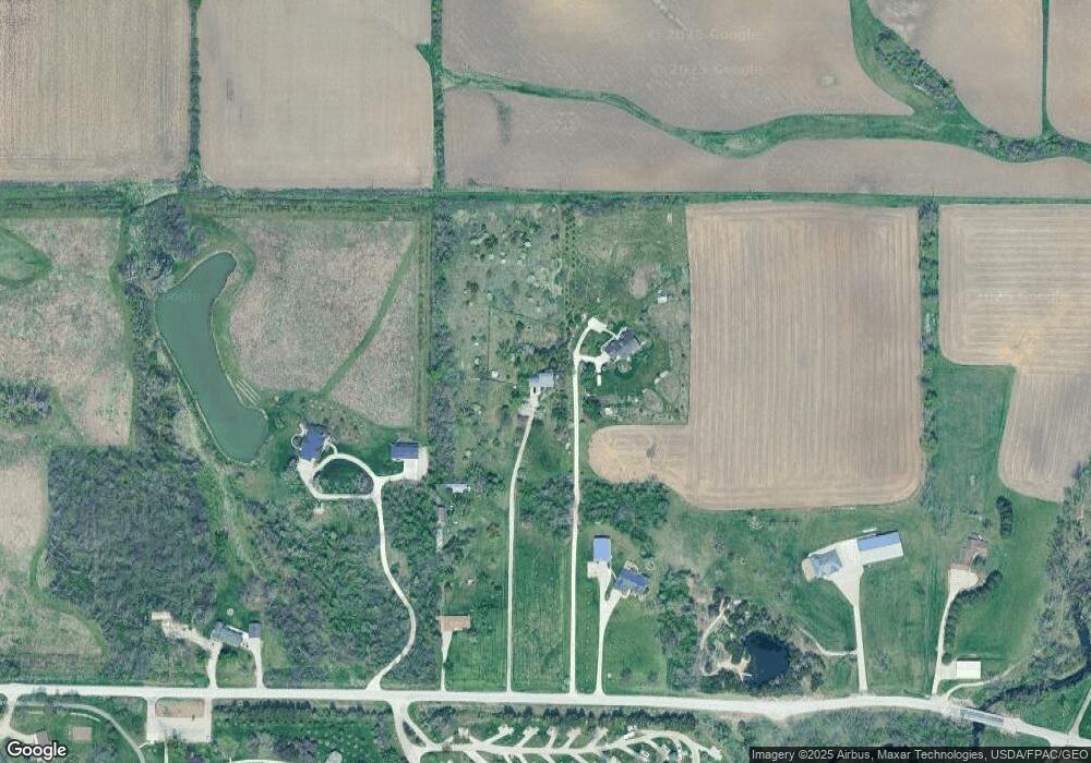
Map
Nearby Homes
- 00
- 0 Iowa 100
- 6702 Country Ridge Dr NW
- 7626 Country Ridge Dr NW
- 7608 Country Ridge Dr NW
- 7602 Country Ridge Dr NW
- 7509 Country Ridge Dr NW
- 2415 Prairie Knoll Ct NW
- 2502 Prairie Knoll Ct NW
- 7226 Country Ridge Dr NW
- 916 Blue Stone St NW
- 6608 Limestone Ct NW
- 6809 Terrazzo Dr NW
- 225 Rockvalley Ln NW
- 200 Cherry Park Dr NW
- 7806 Hillsboro Dr SW
- 5918 Sharon Ln NW
- 1722 Gardner Dr NW
- 164 Cherry Hill Rd NW
- 1211 Wolf Dr NW
- 7110 Worcester Rd
- 7086 Worcester Rd
- 7302 Worcester Rd
- 7208 Worcester Rd
- 6905 Worcester Rd
- 7414 Worcester Rd
- 6818 Worcester Rd
- 6905 Worcester Rd NW
- 6508 Davis Ct
- 6600 Worcester Rd
- 6509 Davis Ct
- 6504 Davis Ct
- 6505 Davis Ct
- 1842 Covington Rd
- 6506 Worcester Rd
- 6500 Davis Ct
- 6501 Davis Ct
- 1512 Stoney Point Rd
- 1616 Stoney Point Rd
- 1500 Stoney Point Rd NW