7191 Rook Rd Bridgeport, MI 48722
Estimated Value: $223,000 - $359,659
3
Beds
2
Baths
1,768
Sq Ft
$163/Sq Ft
Est. Value
About This Home
This home is located at 7191 Rook Rd, Bridgeport, MI 48722 and is currently estimated at $288,915, approximately $163 per square foot. 7191 Rook Rd is a home located in Saginaw County with nearby schools including Thomas White School, Martin G. Atkins Elementary School, and Bridgeport-Spaulding Middle School - Martin G. Atkins.
Ownership History
Date
Name
Owned For
Owner Type
Purchase Details
Closed on
May 15, 2004
Current Estimated Value
Home Financials for this Owner
Home Financials are based on the most recent Mortgage that was taken out on this home.
Original Mortgage
$133,400
Interest Rate
6.17%
Mortgage Type
Purchase Money Mortgage
Create a Home Valuation Report for This Property
The Home Valuation Report is an in-depth analysis detailing your home's value as well as a comparison with similar homes in the area
Purchase History
| Date | Buyer | Sale Price | Title Company |
|---|---|---|---|
| -- | $30,000 | -- | |
| Bryce Brian | $30,000 | Ati Title Company Agency |
Source: Public Records
Mortgage History
| Date | Status | Borrower | Loan Amount |
|---|---|---|---|
| Previous Owner | Bryce Brian | $133,400 |
Source: Public Records
Tax History
| Year | Tax Paid | Tax Assessment Tax Assessment Total Assessment is a certain percentage of the fair market value that is determined by local assessors to be the total taxable value of land and additions on the property. | Land | Improvement |
|---|---|---|---|---|
| 2025 | $1,090 | $162,500 | $0 | $0 |
| 2024 | $1,057 | $150,800 | $0 | $0 |
| 2023 | $985 | $134,800 | $0 | $0 |
| 2022 | $2,940 | $123,100 | $0 | $0 |
| 2021 | $2,680 | $108,300 | $0 | $0 |
| 2020 | $2,627 | $100,200 | $0 | $0 |
| 2019 | $2,508 | $94,300 | $20,400 | $73,900 |
| 2018 | $859 | $90,300 | $0 | $0 |
| 2017 | $2,266 | $86,900 | $0 | $0 |
| 2016 | $2,476 | $84,500 | $0 | $0 |
| 2014 | -- | $74,600 | $0 | $54,000 |
| 2013 | -- | $73,900 | $0 | $0 |
Source: Public Records
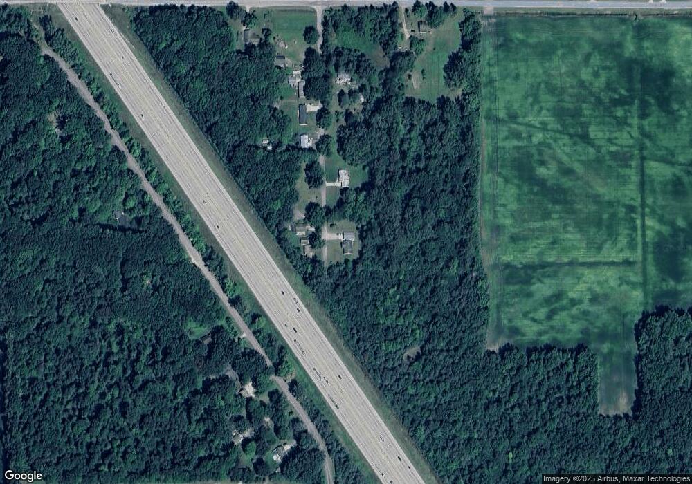
Map
Nearby Homes
- 7720 Rookway Rd
- 5383 Riverview Dr
- 6450 Curtis Rd
- Parcel E W Rolling Hills Dr
- Parcel B W Rolling Hills Dr
- Parcel D W Rolling Hills Dr
- Parcel F W Rolling Hills Dr
- Parcel C W Rolling Hills Dr
- 3937 Curtis Rd
- 4333 Riverview Dr
- 6605 Bridgeport Hwy
- VL Fort Rd
- 3241 Curtis Rd
- 0 Judd Rd
- 6412 Tin Lizzy Ln
- 9750 Marshall Rd
- 6580 Bell Rd
- 5885 McGrandy Rd
- 4256 Emerald Dr
- 6977 Rathbun Rd
Your Personal Tour Guide
Ask me questions while you tour the home.