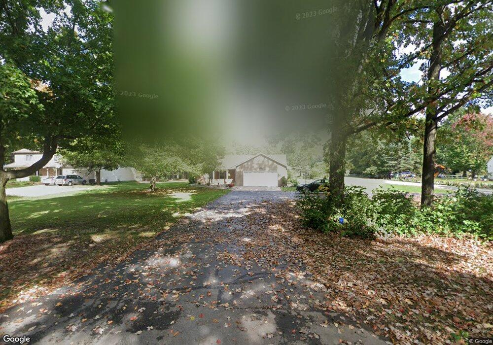
7196 King Rd Spring Arbor, MI 49283
Estimated Value: $261,000 - $364,000
About This Home
This home is located at 7196 King Rd, Spring Arbor, MI 49283 and is currently estimated at $317,369, approximately $137 per square foot. 7196 King Rd is a home located in Jackson County with nearby schools including Western High School, Trinity Lutheran School, and Lumen Christi Catholic School.
Ownership History
We collect this data history from publicly available records. To have your information removed, we recommend requesting removal directly through your county’s website.
Purchase Details
Home Financials for this Owner
Home Financials are based on the most recent Mortgage that was taken out on this home.Purchase History
We collect this data history from publicly available records. To have your information removed, we recommend requesting removal directly through your county’s website.
| Date | Buyer | Sale Price | Title Company |
|---|---|---|---|
| $210,000 | At |
Mortgage History
We collect this data history from publicly available records. To have your information removed, we recommend requesting removal directly through your county’s website.
| Date | Status | Borrower | Loan Amount |
|---|---|---|---|
| Open | $195,000 |
Tax History
We collect this data history from publicly available records. To have your information removed, we recommend requesting removal directly through your county’s website.
| Year | Tax Paid | Tax Assessment Tax Assessment Total Assessment is a certain percentage of the fair market value that is determined by local assessors to be the total taxable value of land and additions on the property. | Land | Improvement |
|---|---|---|---|---|
| 2026 | $1,850 | $149,500 | $0 | $0 |
| 2025 | $1,850 | $142,600 | $0 | $0 |
| 2024 | $18 | $136,800 | $0 | $0 |
| 2023 | $1,799 | $129,100 | $0 | $0 |
| 2022 | $2,750 | $126,700 | $0 | $0 |
| 2021 | $2,701 | $123,490 | $0 | $0 |
| 2020 | $2,668 | $101,090 | $0 | $0 |
| 2019 | $2,536 | $92,350 | $0 | $0 |
| 2018 | $2,527 | $91,310 | $9,030 | $82,280 |
| 2017 | $2,394 | $89,380 | $0 | $0 |
| 2016 | $1,528 | $88,170 | $0 | $88,170 |
| 2015 | $62,788 | $74,920 | $74,920 | $0 |
| 2014 | $62,788 | $66,690 | $66,690 | $0 |
| 2013 | -- | $66,690 | $66,690 | $0 |
Map
- 181 Remington Dr
- 7315 King Rd
- 3008 S Dearing Rd
- 2855 S Dearing Rd
- 2061 Elwood Blvd Unit 39
- 2073 Elwood Blvd Unit 36
- 2089 Elwood Blvd Unit 27
- V/L S Dearing Rd Unit 40 Acres Vacant Land
- 0 S Vl Dearing Rd Unit 26032111
- 7969 Brandon Dr
- 8257 Lockerbie Dr
- 3130 Daggitt Dr
- 123 Teft Rd
- 6405 King Rd
- 68 Dickens St
- VL Chapel Rd
- 1400 Chapel Rd Unit B
- 1400 Chapel Rd Unit A
- 3824 Moscow Rd
- 8700 King Rd
- 7200 King Rd
- 7140 King Rd
- 7136 King Rd
- 7310 King Rd
- 7135 King Rd
- 7195 King Rd
- 7259 King Rd Unit 5
- 7259 King Rd
- 182 Remington Dr
- 7313 King Rd Unit 4
- 7313 King Rd
- 7131 King Rd
- 170 Remington Dr
- 7132 King Rd
- 172 Remington - Lot 10 Dr
- 7316 King Rd
- 164 Remington Dr
- 7258 Sydney Ct
- 181 Remington Dr Unit 13 Dr
- 188 Remington #12
Ask me questions while you tour the home.