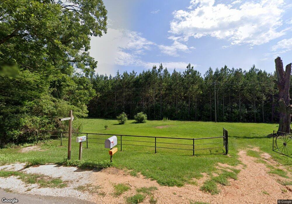
7197 W Topisaw S Summit, MS 39666
Estimated Value: $220,000 - $327,382
Studio
--
Bath
2,567
Sq Ft
$107/Sq Ft
Est. Value
About This Home
This home is located at 7197 W Topisaw S, Summit, MS 39666 and is currently estimated at $273,794, approximately $106 per square foot. 7197 W Topisaw S is a home with nearby schools including North Pike Elementary School, North Pike Middle School, and North Pike Senior High School.
Ownership History
Date
Name
Owned For
Owner Type
Purchase Details
Closed on
Apr 1, 2024
Sold by
Felder United Methodist Church and Martin Monty
Bought by
United Methodist Church Inc
Current Estimated Value
Purchase Details
Closed on
Aug 18, 2023
Sold by
Osagered Llc
Bought by
Country Home Antiques Gifts & Vintage Decor L
Purchase Details
Closed on
Sep 1, 2022
Sold by
Beverly Martin Myers Spa
Bought by
Jackson Beverly Martin
Purchase Details
Closed on
Jun 22, 2022
Sold by
Porter Wallace Glenda F and Bryan Charles
Bought by
Macierose Llc
Create a Home Valuation Report for This Property
The Home Valuation Report is an in-depth analysis detailing your home's value as well as a comparison with similar homes in the area
Purchase History
| Date | Buyer | Sale Price | Title Company |
|---|---|---|---|
| United Methodist Church Inc | -- | None Listed On Document | |
| Country Home Antiques Gifts & Vintage Decor L | -- | None Listed On Document | |
| Jackson Beverly Martin | -- | -- | |
| Macierose Llc | -- | None Listed On Document |
Source: Public Records
Tax History
| Year | Tax Paid | Tax Assessment Tax Assessment Total Assessment is a certain percentage of the fair market value that is determined by local assessors to be the total taxable value of land and additions on the property. | Land | Improvement |
|---|---|---|---|---|
| 2025 | $2,500 | $20,670 | $0 | $0 |
| 2024 | $2,010 | $16,796 | $0 | $0 |
| 2023 | $1,965 | $16,830 | $0 | $0 |
| 2022 | $1,937 | $16,864 | $0 | $0 |
| 2021 | $1,936 | $16,904 | $0 | $0 |
| 2020 | $1,990 | $17,239 | $0 | $0 |
| 2019 | $1,933 | $17,228 | $0 | $0 |
| 2018 | $1,924 | $17,267 | $0 | $0 |
| 2017 | $1,873 | $17,245 | $0 | $0 |
| 2016 | $1,609 | $17,155 | $0 | $0 |
| 2015 | $1,489 | $16,453 | $0 | $0 |
| 2014 | -- | $16,356 | $0 | $0 |
| 2013 | -- | $16,291 | $0 | $0 |
Source: Public Records
Map
Nearby Homes
- 8001 W Topisaw S
- 1073 Hillcrest Farms Ln
- 0000 C D Rayborn Rd
- 4190 Mississippi 44
- 0 Lucille Ln
- 1168 Clem Nettles Rd
- 1021 Austin Smith Rd
- 3174 W Topisaw N
- 6045 Mississippi 44
- 0 Beartown Rd
- 239 Mississippi 44
- Tbd Atkinson Rd
- TBD Carters Creek Rd
- Tbd Hwy 570 River Road N and S
- 182 Hwy 44 None
- 325 Beartown Rd
- 2075 Hartwell Rd
- 0 Mccullough Rd SE
- 1022 Friendship Cir
- 2094 W Topisaw S
- 7169 W Topisaw S
- 8013 W Topisaw S
- 8011 W Topisaw S
- 7156 W Topisaw S
- 1017 Lucky Leaf Rd
- 7146 W Topisaw S
- 1016 Lucky Leaf Rd
- 1016 Lucky Leaf Ln
- 1071 Lucky Leaf Ln
- 1007 Lucky Leaf Ln
- 1017 Lucky Leaf Ln
- 8036 W Topisaw S
- 1044 Long Branch Dr
- 8071 W Topisaw S
- 10086 Highway 570 E
- 1014 Leisure Ln
- 1019 Leisure Ln
- 1066 Long Branch Dr
- 1033 Long Branch Dr
- 1075 Long B
Your Personal Tour Guide
Ask me questions while you tour the home.