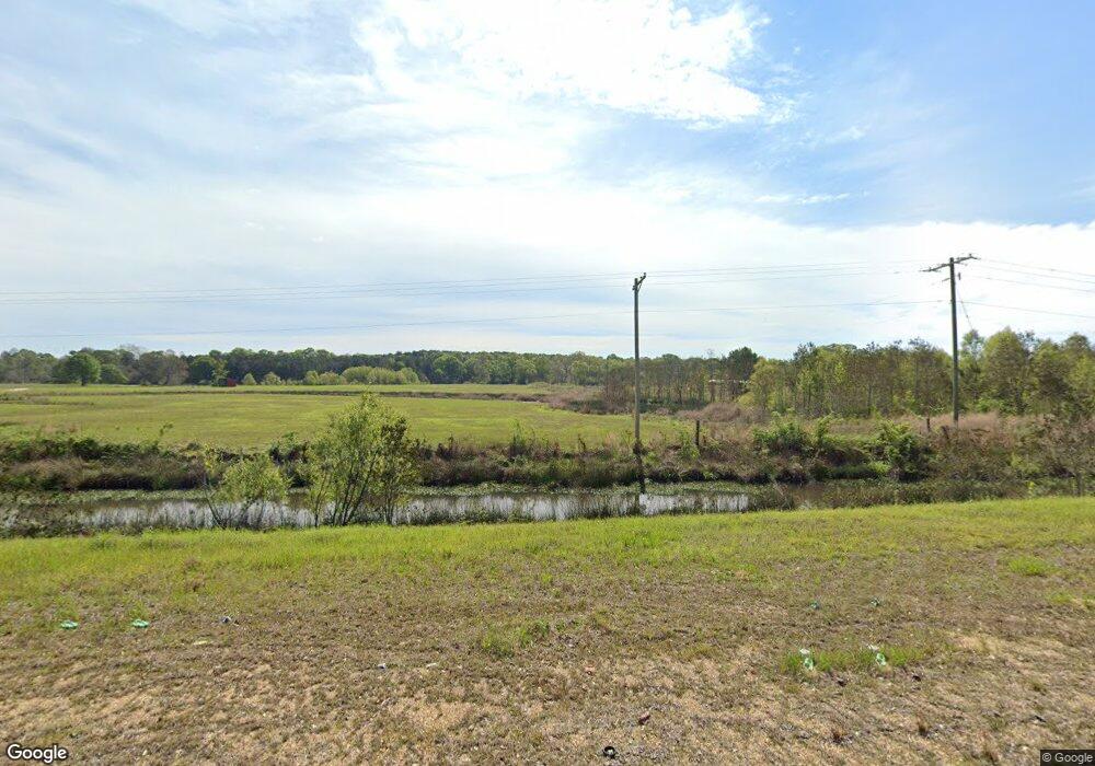
7198 Highway 51 N Magnolia, MS 39652
Estimated Value: $201,000
--
Bed
--
Bath
1,000
Sq Ft
$201/Sq Ft
Est. Value
About This Home
This home is located at 7198 Highway 51 N, Magnolia, MS 39652 and is currently priced at $201,000, approximately $201 per square foot. 7198 Highway 51 N is a home with nearby schools including Eva Gordon Lower Elementary School, Osyka Elementary School, and South Pike Junior High School.
Ownership History
Date
Name
Owned For
Owner Type
Purchase Details
Closed on
Jun 1, 2017
Sold by
Vielee Daniel W and Vielee Bernard
Bought by
Kd Land Holdings Llc
Current Estimated Value
Purchase Details
Closed on
Nov 7, 2008
Sold by
Mcneil Joseph S
Bought by
Testa Jennifer Marques
Home Financials for this Owner
Home Financials are based on the most recent Mortgage that was taken out on this home.
Original Mortgage
$155,000
Interest Rate
6.11%
Mortgage Type
Future Advance Clause Open End Mortgage
Create a Home Valuation Report for This Property
The Home Valuation Report is an in-depth analysis detailing your home's value as well as a comparison with similar homes in the area
Home Values in the Area
Average Home Value in this Area
Purchase History
| Date | Buyer | Sale Price | Title Company |
|---|---|---|---|
| Kd Land Holdings Llc | -- | None Available | |
| Testa Jennifer Marques | -- | None Available |
Source: Public Records
Mortgage History
| Date | Status | Borrower | Loan Amount |
|---|---|---|---|
| Previous Owner | Testa Jennifer Marques | $155,000 |
Source: Public Records
Tax History Compared to Growth
Tax History
| Year | Tax Paid | Tax Assessment Tax Assessment Total Assessment is a certain percentage of the fair market value that is determined by local assessors to be the total taxable value of land and additions on the property. | Land | Improvement |
|---|---|---|---|---|
| 2024 | $552 | $4,278 | $0 | $0 |
| 2023 | $539 | $4,313 | $0 | $0 |
| 2022 | $537 | $4,350 | $0 | $0 |
| 2021 | $524 | $4,390 | $0 | $0 |
| 2020 | $375 | $3,067 | $0 | $0 |
| 2019 | $373 | $3,111 | $0 | $0 |
| 2018 | $206 | $1,749 | $0 | $0 |
| 2017 | $213 | $1,782 | $0 | $0 |
| 2016 | $200 | $1,674 | $0 | $0 |
| 2015 | -- | $5,387 | $0 | $0 |
| 2014 | -- | $5,298 | $0 | $0 |
| 2013 | -- | $5,216 | $0 | $0 |
Source: Public Records
Map
Nearby Homes
- 1034 Oak Tree Ln
- 2007 Hillside Dr
- 250 W Main St
- 360 Price St
- 350 Price St
- Tbd Hamp Lea Rd
- 0 Interstate 55 Us-51 Hwy Unit 2480972
- 205 Wilson Dr
- 1019 Kennedy Rd
- 0 Old Highway 51
- 3181 Centerville Rd
- 313 W Bay St
- 475 W Bay St
- 4193 Muddy Springs Rd
- 102 W Myrtle St
- 455 Melvin O Harris St
- 525 N Cherry St
- 4058 Muddy Springs Rd
- 224 W Holly St
- 843 N Clark Ave
- 7142 Highway 51 N
- 8196 U S Highway 51
- 1021 Beacham Hill Rd
- 1017 Beacham Hill Rd
- 1013 Beacham Hill Rd
- 1006 Beacham Hill Rd
- 1159 Nick Bruno Dr
- 1196 Donald Dunn Rd
- 8075 Highway 51 N Unit O
- 8075 Highway 51 N
- 1151 Donald Dunn Rd
- 2010 Donald Dunn Rd
- 8077 U S 51 Unit O
- 8077 U S 51
- 8083 U S 51
- 8083 Hwy 51n
- 1149 Donald Dunn Rd
- 1193 Donald Dunn Rd
- 8083 Highway 51 N
- 1173 Donald Dunn Rd
