Estimated Value: $611,000 - $688,070
2
Beds
2
Baths
1,330
Sq Ft
$492/Sq Ft
Est. Value
About This Home
This home is located at 72 Bobcat Ln, Wells, ME 04090 and is currently estimated at $654,357, approximately $491 per square foot. 72 Bobcat Ln is a home located in York County with nearby schools including Wells Elementary School, Wells Junior High School, and Wells High School.
Ownership History
Date
Name
Owned For
Owner Type
Purchase Details
Closed on
Aug 6, 2013
Sold by
Boutet Michael R
Bought by
Paine Richard B and Reynolds Jamie W
Current Estimated Value
Purchase Details
Closed on
Aug 23, 2011
Sold by
Boutet Michael R
Bought by
Paine Richard B and Reynolds Jamie W
Home Financials for this Owner
Home Financials are based on the most recent Mortgage that was taken out on this home.
Original Mortgage
$175,000
Interest Rate
4.62%
Mortgage Type
Purchase Money Mortgage
Create a Home Valuation Report for This Property
The Home Valuation Report is an in-depth analysis detailing your home's value as well as a comparison with similar homes in the area
Home Values in the Area
Average Home Value in this Area
Purchase History
| Date | Buyer | Sale Price | Title Company |
|---|---|---|---|
| Paine Richard B | -- | -- | |
| Paine Richard B | -- | -- |
Source: Public Records
Mortgage History
| Date | Status | Borrower | Loan Amount |
|---|---|---|---|
| Previous Owner | Paine Richard B | $175,000 |
Source: Public Records
Tax History Compared to Growth
Tax History
| Year | Tax Paid | Tax Assessment Tax Assessment Total Assessment is a certain percentage of the fair market value that is determined by local assessors to be the total taxable value of land and additions on the property. | Land | Improvement |
|---|---|---|---|---|
| 2024 | $4,045 | $665,280 | $214,280 | $451,000 |
| 2023 | $3,965 | $665,280 | $214,280 | $451,000 |
| 2022 | $3,405 | $325,520 | $97,360 | $228,160 |
| 2021 | $3,371 | $320,400 | $56,190 | $264,210 |
| 2020 | $3,358 | $320,400 | $97,360 | $223,040 |
| 2019 | $3,339 | $320,400 | $97,360 | $223,040 |
| 2018 | $3,307 | $320,400 | $97,360 | $223,040 |
| 2017 | $3,203 | $315,230 | $97,360 | $217,870 |
| 2016 | $3,171 | $315,230 | $97,360 | $217,870 |
| 2015 | $3,137 | $315,230 | $97,360 | $217,870 |
| 2013 | $2,784 | $305,260 | $97,360 | $207,900 |
Source: Public Records
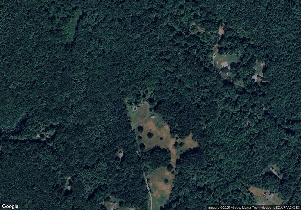
Map
Nearby Homes
- 100 Boyds Corner Rd
- 233 Wells St
- 23 Meader St
- 2668 Tatnic Rd
- 0016/001 Newhall Rd
- 22 Church Ave
- 17 Market St
- 29 Great Hill Rd
- 1229 Bragdon Rd
- 38 High St
- 50 Webber Ridge Ln
- 94 Perry Oliver Rd
- 74 Maple St
- 0 Dragonfly Ln Unit 1584634
- 315 Hiltons Ln
- 202 High St
- 4 Natures Way
- 3 Natures Way
- 1 Natures Way
- Lot #5 Adams Bridge Rd
- 70 Bobcat Ln
- 130 Boyds Corner Rd
- 40 Bobcat Ln
- 124 Boyds Corner Rd
- 120 Boyds Corner Rd
- 140 Boyds Corner Rd
- 185 Boyds Corner Rd
- 0 Bobcat Ln Unit 1039738
- 127 Boyds Corner Rd
- 329 Allen Unit Lot C
- 329 Allen
- 329 Allen Unit 1
- 329 Allen Unit 2
- 169 Boyds Corner Rd
- 123 Boyds Corner Rd
- 2665 Tatnic Rd
- 117 Boyds Corner Rd
- 327 Allen Rd
- 109 Boyds Corner Rd
- 2611 Tatnic Rd