72 Davis Rd Bradford, NH 03221
Estimated Value: $492,000 - $741,989
2
Beds
1
Bath
1,215
Sq Ft
$514/Sq Ft
Est. Value
About This Home
This home is located at 72 Davis Rd, Bradford, NH 03221 and is currently estimated at $624,997, approximately $514 per square foot. 72 Davis Rd is a home located in Merrimack County with nearby schools including Kearsarge Regional Elementary School at Bradford, Kearsarge Regional Middle School, and Kearsarge Regional High School.
Create a Home Valuation Report for This Property
The Home Valuation Report is an in-depth analysis detailing your home's value as well as a comparison with similar homes in the area
Home Values in the Area
Average Home Value in this Area
Tax History Compared to Growth
Tax History
| Year | Tax Paid | Tax Assessment Tax Assessment Total Assessment is a certain percentage of the fair market value that is determined by local assessors to be the total taxable value of land and additions on the property. | Land | Improvement |
|---|---|---|---|---|
| 2024 | $11,066 | $703,500 | $588,300 | $115,200 |
| 2023 | $10,898 | $392,000 | $324,400 | $67,600 |
| 2022 | $9,678 | $392,000 | $324,400 | $67,600 |
| 2021 | $9,373 | $392,000 | $324,400 | $67,600 |
| 2020 | $9,353 | $392,000 | $324,400 | $67,600 |
| 2019 | $8,965 | $321,200 | $256,300 | $64,900 |
| 2018 | $8,460 | $313,900 | $256,300 | $57,600 |
| 2017 | $8,287 | $313,900 | $256,300 | $57,600 |
| 2016 | $8,287 | $313,900 | $256,300 | $57,600 |
| 2015 | $8,463 | $313,900 | $256,300 | $57,600 |
| 2014 | $8,542 | $367,100 | $307,200 | $59,900 |
| 2013 | $8,230 | $367,100 | $307,200 | $59,900 |
Source: Public Records
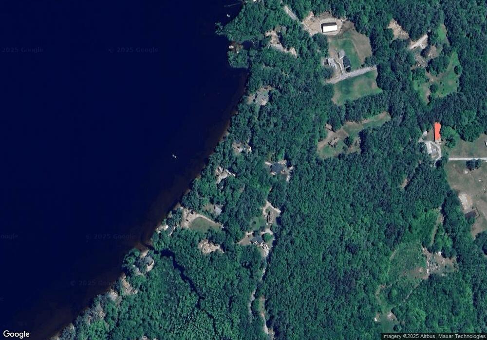
Map
Nearby Homes
- 3008 State Route 114
- 45 Crittenden Rd
- 257 Jackson Rd
- 71 Melvin Rd
- 83 Bagley Hill Rd
- Lot 12-24 Newmarket Rd
- 19 Center Rd
- 5 Greenhouse Ln
- 114 E Main St
- 16 Hogg Hill Rd
- 0 Bradford Rd
- 55 Water St
- 86 Route 103
- 38 Water St
- 00 County Rd Unit 15
- 98 Woodview Heights
- 7 E Sutton Rd
- 26 Butman Rd
- 82 Waldron Hill Rd
- * Alder Plains Rd