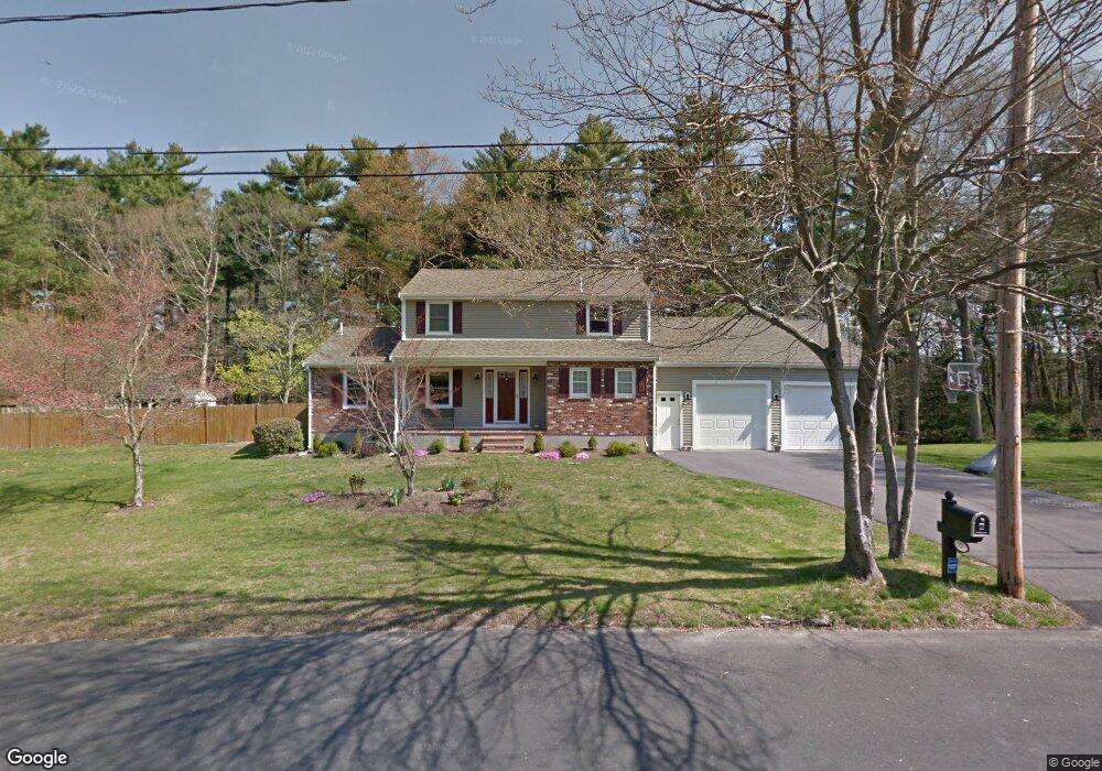
72 Duffy Dr Taunton, MA 02780
Weir Village NeighborhoodEstimated Value: $556,000 - $611,000
3
Beds
2
Baths
1,876
Sq Ft
$311/Sq Ft
Est. Value
About This Home
This home is located at 72 Duffy Dr, Taunton, MA 02780 and is currently estimated at $583,387, approximately $310 per square foot. 72 Duffy Dr is a home located in Bristol County with nearby schools including Elizabeth Pole School, Taunton High School, and John F. Parker Middle School.
Ownership History
Date
Name
Owned For
Owner Type
Purchase Details
Closed on
Feb 5, 2019
Sold by
Menice David F and Menice Cheryl L
Bought by
Menice Ft
Current Estimated Value
Purchase Details
Closed on
Mar 29, 2002
Sold by
Ferreira Edward A and Ferreira Robert A
Bought by
Menice David F and Menice Cheryl L
Home Financials for this Owner
Home Financials are based on the most recent Mortgage that was taken out on this home.
Original Mortgage
$155,000
Interest Rate
6.88%
Mortgage Type
Purchase Money Mortgage
Purchase Details
Closed on
Sep 27, 1990
Sold by
Hock Janet B
Bought by
Ferreira Edward A
Create a Home Valuation Report for This Property
The Home Valuation Report is an in-depth analysis detailing your home's value as well as a comparison with similar homes in the area
Home Values in the Area
Average Home Value in this Area
Purchase History
| Date | Buyer | Sale Price | Title Company |
|---|---|---|---|
| Menice Ft | -- | -- | |
| Menice David F | $245,000 | -- | |
| Ferreira Edward A | $155,000 | -- |
Source: Public Records
Mortgage History
| Date | Status | Borrower | Loan Amount |
|---|---|---|---|
| Previous Owner | Ferreira Edward A | $157,000 | |
| Previous Owner | Ferreira Edward A | $155,000 | |
| Previous Owner | Ferreira Edward A | $42,350 |
Source: Public Records
Tax History
| Year | Tax Paid | Tax Assessment Tax Assessment Total Assessment is a certain percentage of the fair market value that is determined by local assessors to be the total taxable value of land and additions on the property. | Land | Improvement |
|---|---|---|---|---|
| 2025 | $4,990 | $456,100 | $139,300 | $316,800 |
| 2024 | $4,640 | $414,700 | $139,300 | $275,400 |
| 2023 | $4,714 | $391,200 | $145,600 | $245,600 |
| 2022 | $4,465 | $338,800 | $112,900 | $225,900 |
| 2021 | $4,362 | $307,200 | $102,600 | $204,600 |
| 2020 | $4,220 | $284,000 | $102,600 | $181,400 |
| 2019 | $4,293 | $272,400 | $102,600 | $169,800 |
| 2018 | $4,161 | $264,700 | $103,700 | $161,000 |
| 2017 | $385,647 | $253,500 | $98,300 | $155,200 |
| 2016 | $3,840 | $244,900 | $95,400 | $149,500 |
| 2015 | $3,712 | $247,300 | $96,000 | $151,300 |
| 2014 | $3,670 | $251,200 | $96,000 | $155,200 |
Source: Public Records
Map
Nearby Homes
- 28 Barbara Rd
- 5 Parcels Cape Highway Route 44
- 0 Cape Highway Route 44 Unit 73474847
- 0 S Main St Unit 73443212
- 172 Dean St Unit 16
- 115 Forge River Pkwy
- 152 Forgeriver
- 136 Dean St
- 136 Dean St Unit A&B
- 208 S Main St
- 174 Ashleigh Terrace
- 27 Johnson St Unit C
- 27 Johnson St Unit A
- 27 Johnson St Unit B
- 29 Johnson St Unit C
- 29 Johnson St Unit A
- 29 Johnson St Unit B
- 110 Dean St Unit 100
- 110 Dean St Unit 41
- 600 County St
Your Personal Tour Guide
Ask me questions while you tour the home.