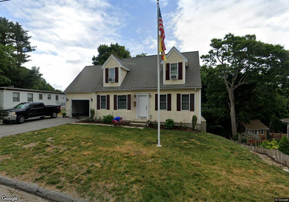
72 Garrison Ave Worcester, MA 01606
Burncoat NeighborhoodEstimated Value: $531,276 - $570,000
3
Beds
3
Baths
1,811
Sq Ft
$301/Sq Ft
Est. Value
About This Home
This home is located at 72 Garrison Ave, Worcester, MA 01606 and is currently estimated at $544,819, approximately $300 per square foot. 72 Garrison Ave is a home located in Worcester County with nearby schools including Belmont Street Community School, Jacob Hiatt Magnet School, and Chandler Magnet.
Ownership History
Date
Name
Owned For
Owner Type
Purchase Details
Closed on
Apr 6, 2004
Sold by
Jmt Constr Co Inc
Bought by
Lawton Danielle M and Salvadore Paul
Current Estimated Value
Home Financials for this Owner
Home Financials are based on the most recent Mortgage that was taken out on this home.
Original Mortgage
$244,000
Outstanding Balance
$114,022
Interest Rate
5.56%
Mortgage Type
Purchase Money Mortgage
Estimated Equity
$430,797
Create a Home Valuation Report for This Property
The Home Valuation Report is an in-depth analysis detailing your home's value as well as a comparison with similar homes in the area
Home Values in the Area
Average Home Value in this Area
Purchase History
| Date | Buyer | Sale Price | Title Company |
|---|---|---|---|
| Lawton Danielle M | $305,000 | -- |
Source: Public Records
Mortgage History
| Date | Status | Borrower | Loan Amount |
|---|---|---|---|
| Open | Lawton Danielle M | $244,000 |
Source: Public Records
Tax History
| Year | Tax Paid | Tax Assessment Tax Assessment Total Assessment is a certain percentage of the fair market value that is determined by local assessors to be the total taxable value of land and additions on the property. | Land | Improvement |
|---|---|---|---|---|
| 2025 | $6,234 | $472,600 | $118,200 | $354,400 |
| 2024 | $6,079 | $442,100 | $118,200 | $323,900 |
| 2023 | $5,912 | $412,300 | $102,800 | $309,500 |
| 2022 | $5,462 | $359,100 | $82,300 | $276,800 |
| 2021 | $5,468 | $335,900 | $65,800 | $270,100 |
| 2020 | $5,394 | $317,300 | $65,800 | $251,500 |
| 2019 | $5,130 | $285,000 | $59,200 | $225,800 |
| 2018 | $5,130 | $271,300 | $59,200 | $212,100 |
| 2017 | $4,882 | $254,000 | $59,200 | $194,800 |
| 2016 | $4,909 | $238,200 | $43,300 | $194,900 |
| 2015 | $4,781 | $238,200 | $43,300 | $194,900 |
| 2014 | $4,654 | $238,200 | $43,300 | $194,900 |
Source: Public Records
Map
Nearby Homes
- 35 Arbutus Rd
- 13 Fatima Ln
- 66 Eunice Ave
- 53 Collins St
- 331 Burncoat St
- 323 Burncoat St
- 55 Clark St
- 58 Osceola Ave
- 30 Fales St
- 30 Danielles Way
- 28 Brooks St
- 10 Beale St
- 71 Hillside Village Dr
- 39 Whitmarsh Ave
- 156 Hillside Village Dr
- 1110 W Boylston St Unit A
- 15 Cumberland St
- 740 Burncoat St Unit B
- 31 Danielles Way
- 22 Danielles Way
- 70 Garrison Ave
- 136 Quinapoxet Ln
- 68 Garrison Ave
- 130 Quinapoxet Ln
- 137 Quinapoxet Ln
- 131 Quinapoxet Ln
- 66 Garrison Ave
- 127 Quinapoxet Ln
- 67 Garrison Ave
- 120 Quinapoxet Ln
- 123 Quinapoxet Ln
- 2 Prudential Rd
- 141 Quinapoxet Ln
- 65 Garrison Ave
- 8 Prudential Rd
- 68 Oneida Ave
- 6 Bergstrom Rd
- Lot1 Prudential Rd
- 62 Garrison Ave
- 64 Oneida Ave