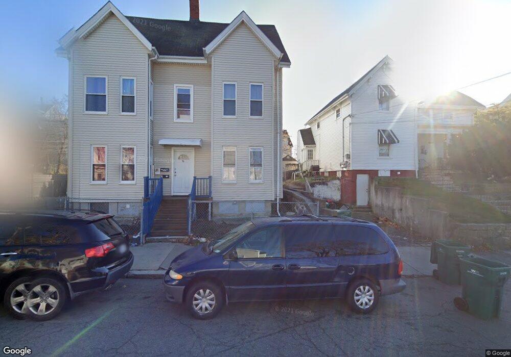
72 High Rock St Lynn, MA 01902
Highlands NeighborhoodEstimated Value: $868,000 - $1,108,000
6
Beds
3
Baths
3,360
Sq Ft
$287/Sq Ft
Est. Value
About This Home
This home is located at 72 High Rock St, Lynn, MA 01902 and is currently estimated at $962,989, approximately $286 per square foot. 72 High Rock St is a home located in Essex County with nearby schools including Robert L. Ford Elementary School, William R. Fallon School, and Fecteau-Leary Junior/Senior High School.
Ownership History
Date
Name
Owned For
Owner Type
Purchase Details
Closed on
Feb 6, 2009
Sold by
Deutsche Bank Natl T C
Bought by
Zhang Rong
Current Estimated Value
Home Financials for this Owner
Home Financials are based on the most recent Mortgage that was taken out on this home.
Original Mortgage
$129,000
Interest Rate
5.2%
Mortgage Type
Purchase Money Mortgage
Purchase Details
Closed on
Oct 27, 2008
Sold by
Stlouis Yvanette
Bought by
Deutsche Bank Natl T C
Purchase Details
Closed on
Nov 24, 2003
Sold by
Elliott William
Bought by
Stlouis Yvanette
Purchase Details
Closed on
Nov 16, 2001
Sold by
Taglieri Barbara
Bought by
Elliott William
Create a Home Valuation Report for This Property
The Home Valuation Report is an in-depth analysis detailing your home's value as well as a comparison with similar homes in the area
Home Values in the Area
Average Home Value in this Area
Purchase History
| Date | Buyer | Sale Price | Title Company |
|---|---|---|---|
| Zhang Rong | $172,000 | -- | |
| Zhang Rong | $172,000 | -- | |
| Deutsche Bank Natl T C | $202,500 | -- | |
| Deutsche Bank Natl T C | $202,500 | -- | |
| Stlouis Yvanette | $399,900 | -- | |
| Stlouis Yvanette | $399,900 | -- | |
| Elliott William | $10,000 | -- | |
| Elliott William | $10,000 | -- |
Source: Public Records
Mortgage History
| Date | Status | Borrower | Loan Amount |
|---|---|---|---|
| Open | Elliott William | $159,000 | |
| Closed | Elliott William | $129,000 |
Source: Public Records
Tax History Compared to Growth
Tax History
| Year | Tax Paid | Tax Assessment Tax Assessment Total Assessment is a certain percentage of the fair market value that is determined by local assessors to be the total taxable value of land and additions on the property. | Land | Improvement |
|---|---|---|---|---|
| 2025 | $10,296 | $993,868 | $191,400 | $802,468 |
| 2024 | $10,086 | $957,800 | $184,600 | $773,200 |
| 2023 | $9,630 | $863,700 | $145,400 | $718,300 |
| 2022 | $10,201 | $820,700 | $131,400 | $689,300 |
| 2021 | $9,505 | $729,500 | $116,500 | $613,000 |
| 2020 | $8,762 | $653,900 | $109,700 | $544,200 |
| 2019 | $8,295 | $580,100 | $92,700 | $487,400 |
| 2018 | $7,593 | $501,200 | $91,900 | $409,300 |
| 2017 | $6,774 | $434,200 | $80,800 | $353,400 |
| 2016 | $6,019 | $372,000 | $60,800 | $311,200 |
| 2015 | $5,836 | $348,400 | $57,800 | $290,600 |
Source: Public Records
Map
Nearby Homes
- 191-193 Washington St
- 5 Whittier St
- 589 Essex St Unit 102
- 0 High St
- 440 Essex St
- 105 Lawton Ave
- 57 Johnson St
- 374-378 Washington St
- 6-8 Beede Ave
- 199 Allen Ave
- 58 Laighton St
- 16 Hollingsworth St
- 13 Willow St Unit 206
- 69 Hawthorne St
- 74 Hanover St
- 121 Johnson St Unit 3L
- 14 Mount Pleasant Place
- 170 Oxford St Unit 503
- 170 Oxford St Unit 402
- 81A Franklin St
- 72A High Rock St
- 70 High Rock St
- 10 Circuit Ave
- 6 Circuit Ave
- 74 High Rock St
- 68 High Rock St
- 16 Circuit Ave
- 82 High Rock St
- 76 High Rock St
- 66 High Rock St
- 86 High Rock St
- 64 High Rock St
- 20 Circuit Ave
- 7 Circuit Ave
- 3 Circuit Ave
- 22A Circuit Ave
- 22 Circuit Ave
- 22 Circuit Ave Unit 1
- 48 High Rock St Unit 2
- 48 High Rock St Unit 1