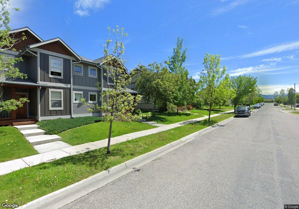
72 Kimball Ave Unit A Bozeman, MT 59718
Valley West NeighborhoodEstimated Value: $545,000 - $694,000
4
Beds
4
Baths
2,466
Sq Ft
$245/Sq Ft
Est. Value
About This Home
This home is located at 72 Kimball Ave Unit A, Bozeman, MT 59718 and is currently estimated at $605,316, approximately $245 per square foot. 72 Kimball Ave Unit A is a home located in Gallatin County with nearby schools including Meadowlark Elementary School, Chief Joseph Middle School, and Gallatin High School.
Ownership History
Date
Name
Owned For
Owner Type
Purchase Details
Closed on
May 6, 2021
Sold by
Lingscheit Kyle R and Lingscheit Michelle M
Bought by
Lingscheit Investment Properties Llc
Current Estimated Value
Purchase Details
Closed on
Jan 31, 2017
Sold by
Marchak Lori C
Bought by
Lingscheit Kyle R and Lingscheit Michelle M
Purchase Details
Closed on
Apr 14, 2006
Sold by
Morice Julien
Bought by
Marchak Lori C
Create a Home Valuation Report for This Property
The Home Valuation Report is an in-depth analysis detailing your home's value as well as a comparison with similar homes in the area
Home Values in the Area
Average Home Value in this Area
Purchase History
| Date | Buyer | Sale Price | Title Company |
|---|---|---|---|
| Lingscheit Investment Properties Llc | -- | None Available | |
| Lingscheit Kyle R | -- | First American Title Company | |
| Marchak Lori C | -- | Insured Titles |
Source: Public Records
Tax History
| Year | Tax Paid | Tax Assessment Tax Assessment Total Assessment is a certain percentage of the fair market value that is determined by local assessors to be the total taxable value of land and additions on the property. | Land | Improvement |
|---|---|---|---|---|
| 2025 | $3,104 | $679,300 | $0 | $0 |
| 2024 | $4,498 | $675,800 | $0 | $0 |
| 2023 | $4,352 | $723,000 | $0 | $0 |
| 2022 | $3,148 | $410,500 | $0 | $0 |
| 2021 | $3,474 | $410,500 | $0 | $0 |
| 2020 | $3,028 | $354,300 | $0 | $0 |
| 2019 | $3,097 | $354,300 | $0 | $0 |
| 2018 | $2,768 | $293,300 | $0 | $0 |
| 2017 | $2,588 | $293,300 | $0 | $0 |
| 2016 | $2,474 | $262,100 | $0 | $0 |
| 2015 | $2,477 | $262,100 | $0 | $0 |
| 2014 | $2,536 | $157,993 | $0 | $0 |
Source: Public Records
Map
Nearby Homes
- 4256 Cover St Unit 32C
- 4239 W Babcock St Unit 7
- 4076 Broadwater Ct
- 275 N Ferguson Ave Unit 3
- 228 N Hanley Unit A
- 3928 Spruce Meadow Dr
- 211 N Sanders Ave
- 336 N Hanley Ave
- 4050 W Babcock St Unit 18
- 234 Stillwater Creek Dr
- 4204 Ravalli St Unit 203
- 400 Sanders Ave
- 481 N Ferguson Ave Unit C
- 4619 Cascade St
- 404 Flathead Ave
- 10 N Cottonwood Rd
- 510 Flathead Ave
- 332 N Cottonwood Rd Unit F
- TBD (Lot 2) N Cottonwood Rd
- TBD (Lot 3) N Cottonwood Rd
- 72 Kimball Ave
- 72 Kimball Ave Unit B
- 72 Kimball Avenue B
- 94 Kimball Ave Unit B
- 94 Kimball Ave Unit A
- 94 Kimball Ave
- 117 Kimball Ave
- 117 Kimball Ave
- 63 Kimball Ave
- 63 Kimball Ave
- 63 Kimball Ave Unit B
- 63 Kimball Ave Unit A
- 146A Kimball Ave
- 77 Kimball Ave
- 77 Kimball Ave
- 77 Kimball Ave Unit B
- 77 Kimball Ave Unit A
- 120 Kimball Ave Unit A
- 120 Kimball Ave
- 120 Kimball Ave Unit B
Your Personal Tour Guide
Ask me questions while you tour the home.