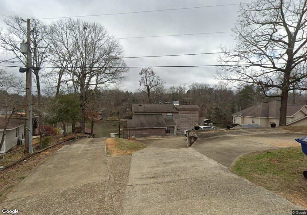
72 Lakeview Dr Deatsville, AL 36022
Estimated Value: $535,000 - $886,435
3
Beds
4
Baths
3,000
Sq Ft
$219/Sq Ft
Est. Value
About This Home
This home is located at 72 Lakeview Dr, Deatsville, AL 36022 and is currently estimated at $656,359, approximately $218 per square foot. 72 Lakeview Dr is a home located in Elmore County with nearby schools including Holtville Elementary School, Holtville Middle School, and Holtville High School.
Ownership History
Date
Name
Owned For
Owner Type
Purchase Details
Closed on
May 14, 2021
Sold by
Barnhart Mark S and Barnhart Kimberly G
Bought by
Barnhart Michael A
Current Estimated Value
Home Financials for this Owner
Home Financials are based on the most recent Mortgage that was taken out on this home.
Original Mortgage
$354,312
Outstanding Balance
$320,412
Interest Rate
3.1%
Mortgage Type
VA
Estimated Equity
$335,947
Purchase Details
Closed on
May 13, 2021
Sold by
Herbert Law Firm Llc
Bought by
Barnhart Mark S and Barnhart Kimberly G
Home Financials for this Owner
Home Financials are based on the most recent Mortgage that was taken out on this home.
Original Mortgage
$354,312
Outstanding Balance
$320,412
Interest Rate
3.1%
Mortgage Type
VA
Estimated Equity
$335,947
Create a Home Valuation Report for This Property
The Home Valuation Report is an in-depth analysis detailing your home's value as well as a comparison with similar homes in the area
Home Values in the Area
Average Home Value in this Area
Purchase History
| Date | Buyer | Sale Price | Title Company |
|---|---|---|---|
| Barnhart Michael A | $342,000 | None Available | |
| Barnhart Mark S | -- | None Available |
Source: Public Records
Mortgage History
| Date | Status | Borrower | Loan Amount |
|---|---|---|---|
| Open | Barnhart Michael A | $354,312 |
Source: Public Records
Tax History Compared to Growth
Tax History
| Year | Tax Paid | Tax Assessment Tax Assessment Total Assessment is a certain percentage of the fair market value that is determined by local assessors to be the total taxable value of land and additions on the property. | Land | Improvement |
|---|---|---|---|---|
| 2024 | $2,027 | $75,520 | $0 | $0 |
| 2023 | $1,895 | $763,830 | $120,000 | $643,830 |
| 2022 | $3,096 | $60,125 | $13,200 | $46,925 |
| 2021 | $2,531 | $49,425 | $12,000 | $37,425 |
| 2020 | $2,845 | $113,810 | $24,000 | $89,810 |
| 2019 | $2,570 | $102,790 | $24,000 | $78,790 |
| 2018 | $2,154 | $86,146 | $24,000 | $62,146 |
| 2017 | $2,154 | $86,160 | $24,004 | $62,156 |
| 2016 | $2,186 | $85,426 | $23,280 | $62,146 |
| 2014 | $2,107 | $411,360 | $120,000 | $291,360 |
Source: Public Records
Map
Nearby Homes
- 661 Blackberry Rd
- 80 Atkin Hill Rd
- 166 Meagan Dr
- 248 Anna Grace Ln
- 65 Whatley Dr
- 67 Preserve Dr
- 51 Lorie Lee Loop
- 52 Lorie Lee Loop
- 34 Lorie Lee Loop
- 18 Lorie Lee Loop
- 33 Lorie Lee Loop
- 17 Lorie Lee Loop
- 223 Preserve Ridge Ln
- 218 Preserve Ridge Ln
- 242 Preserve Ridge Ln
- 264 Preserve Ridge Ln
- 4 Refuge Ct
- 3 Refuge Ct
- 130 Refuge Ct
- 45 Refuge Ct