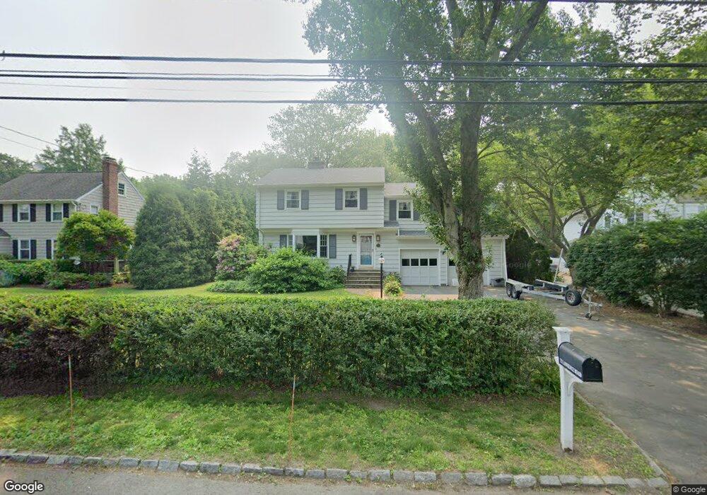
72 Lawrence Rd Fairfield, CT 06824
University NeighborhoodEstimated Value: $1,035,000 - $1,134,000
3
Beds
2
Baths
2,000
Sq Ft
$545/Sq Ft
Est. Value
About This Home
This home is located at 72 Lawrence Rd, Fairfield, CT 06824 and is currently estimated at $1,090,755, approximately $545 per square foot. 72 Lawrence Rd is a home located in Fairfield County with nearby schools including Riverfield Elementary School, Roger Ludlowe Middle School, and Fairfield Ludlowe High School.
Ownership History
Date
Name
Owned For
Owner Type
Purchase Details
Closed on
May 29, 2015
Sold by
Burdine David
Bought by
Burdine Carol
Current Estimated Value
Purchase Details
Closed on
Apr 13, 1983
Bought by
Burdine Carol
Create a Home Valuation Report for This Property
The Home Valuation Report is an in-depth analysis detailing your home's value as well as a comparison with similar homes in the area
Home Values in the Area
Average Home Value in this Area
Purchase History
| Date | Buyer | Sale Price | Title Company |
|---|---|---|---|
| Burdine Carol | -- | -- | |
| Burdine Carol | -- | -- | |
| Burdine Carol | -- | -- |
Source: Public Records
Mortgage History
| Date | Status | Borrower | Loan Amount |
|---|---|---|---|
| Open | Burdine Carol | $450,000 |
Source: Public Records
Tax History Compared to Growth
Tax History
| Year | Tax Paid | Tax Assessment Tax Assessment Total Assessment is a certain percentage of the fair market value that is determined by local assessors to be the total taxable value of land and additions on the property. | Land | Improvement |
|---|---|---|---|---|
| 2025 | $12,691 | $447,020 | $300,440 | $146,580 |
| 2024 | $12,472 | $447,020 | $300,440 | $146,580 |
| 2023 | $12,298 | $447,020 | $300,440 | $146,580 |
| 2022 | $12,177 | $447,020 | $300,440 | $146,580 |
| 2021 | $12,061 | $447,020 | $300,440 | $146,580 |
| 2020 | $12,227 | $456,400 | $297,290 | $159,110 |
| 2019 | $12,227 | $456,400 | $297,290 | $159,110 |
| 2018 | $12,031 | $456,400 | $297,290 | $159,110 |
| 2017 | $11,784 | $456,400 | $297,290 | $159,110 |
| 2016 | $11,615 | $456,400 | $297,290 | $159,110 |
| 2015 | $11,423 | $460,810 | $312,900 | $147,910 |
| 2014 | $11,244 | $460,810 | $312,900 | $147,910 |
Source: Public Records
Map
Nearby Homes
- 105 Charter Oak Rd
- 66 Adams Rd
- 44 Deer Run Rd
- 33 Middlebrook Place
- 338 Orchard Hill Ln
- 25 Millspaugh Dr
- 56 Drake Ln
- 83 Pell Meadow Dr
- 1207 Stillson Rd
- 232 Pell Meadow Dr
- 254 Sherwood Farm Rd
- 1165 Stillson Rd
- 1137 Stillson Rd
- 45 Robin Cir
- 2107 N Benson Rd
- 11 Twin Brooks Ln
- 42 Robin Cir
- 359 Reid St
- 68 Figlar Ave
- 478 Crestwood Rd
- 58 Lawrence Rd
- 86 Lawrence Rd
- 40 Lawrence Rd
- 57 Lawrence Rd
- 100 Lawrence Rd
- 83 Lawrence Rd
- 93 Lawrence Rd
- 20 Lawrence Rd
- 137 Woods End Rd
- 123a Woods End Rd
- 107 Woods End Rd
- 116 Lawrence Rd
- 101 Lawrence Rd
- 91 Woods End Rd
- 123 Woods End Rd
- 123 Woods End Rd Unit A
- 25 Lawrence Rd
- 71 Woods End Rd
- 117 Lawrence Rd
- 132 Lawrence Rd