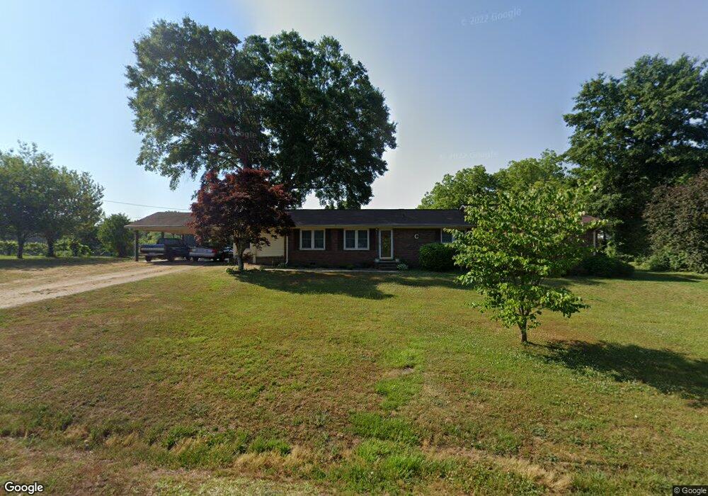
72 Mize Dr Toccoa, GA 30577
Estimated Value: $205,000 - $289,000
3
Beds
2
Baths
2,072
Sq Ft
$116/Sq Ft
Est. Value
About This Home
This home is located at 72 Mize Dr, Toccoa, GA 30577 and is currently estimated at $241,271, approximately $116 per square foot. 72 Mize Dr is a home with nearby schools including Stephens County High School.
Ownership History
Date
Name
Owned For
Owner Type
Purchase Details
Closed on
Feb 6, 2013
Sold by
Simpson Carol M
Bought by
Craven Carol M and Craven Bobby
Current Estimated Value
Home Financials for this Owner
Home Financials are based on the most recent Mortgage that was taken out on this home.
Original Mortgage
$157,500
Outstanding Balance
$152,213
Interest Rate
3.43%
Mortgage Type
Reverse Mortgage Home Equity Conversion Mortgage
Estimated Equity
$89,058
Purchase Details
Closed on
Apr 1, 1993
Bought by
Simpson Carol M
Create a Home Valuation Report for This Property
The Home Valuation Report is an in-depth analysis detailing your home's value as well as a comparison with similar homes in the area
Purchase History
| Date | Buyer | Sale Price | Title Company |
|---|---|---|---|
| Craven Carol M | -- | -- | |
| Simpson Carol M | -- | -- |
Source: Public Records
Mortgage History
| Date | Status | Borrower | Loan Amount |
|---|---|---|---|
| Open | Craven Carol M | $157,500 |
Source: Public Records
Tax History
| Year | Tax Paid | Tax Assessment Tax Assessment Total Assessment is a certain percentage of the fair market value that is determined by local assessors to be the total taxable value of land and additions on the property. | Land | Improvement |
|---|---|---|---|---|
| 2025 | $678 | $72,494 | $1,865 | $70,629 |
| 2024 | $375 | $47,362 | $1,865 | $45,497 |
| 2023 | $267 | $43,854 | $1,865 | $41,989 |
| 2022 | $194 | $41,416 | $1,865 | $39,551 |
| 2021 | $103 | $38,188 | $1,865 | $36,323 |
| 2020 | $99 | $38,031 | $1,865 | $36,166 |
| 2019 | $100 | $38,031 | $1,865 | $36,166 |
| 2018 | $86 | $37,603 | $1,865 | $35,738 |
| 2017 | $89 | $37,603 | $1,865 | $35,738 |
| 2016 | $92 | $37,603 | $1,865 | $35,738 |
| 2015 | $93 | $37,425 | $1,865 | $35,560 |
| 2014 | $1,196 | $37,425 | $1,865 | $35,560 |
| 2013 | -- | $37,425 | $1,865 | $35,560 |
Source: Public Records
Map
Nearby Homes
- 151 Richardson St
- 1037 S Pond St
- 103 Old Liberty Hill Rd
- 1203 Mize Rd
- 943 S Pond St
- 526 Poplar St
- 0 Valley Dr Unit 7675761
- 0 Valley Dr Unit 10600268
- 372 Hilltop Way
- 820 Collier Rd
- 926 Skyline Dr
- 475 Hilltop Way
- 253 Stancil Dr
- 574 S Sage St
- 229 Hilltop Ln
- 500 S Pond St
- 9 Poplar St
- 478 S Pond St
- 0 Stephen Dr Unit 10662201
- 128 Branch St
Your Personal Tour Guide
Ask me questions while you tour the home.