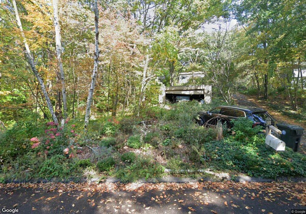
72 Nassahegan Dr Burlington, CT 06013
Estimated Value: $436,567 - $500,000
3
Beds
2
Baths
1,588
Sq Ft
$297/Sq Ft
Est. Value
About This Home
This home is located at 72 Nassahegan Dr, Burlington, CT 06013 and is currently estimated at $472,392, approximately $297 per square foot. 72 Nassahegan Dr is a home located in Hartford County with nearby schools including Lake Garda Elementary School, Har-Bur Middle School, and Lewis S. Mills High School.
Ownership History
Date
Name
Owned For
Owner Type
Purchase Details
Closed on
Sep 24, 2010
Sold by
Glastris Ernest
Bought by
Glastris Barbara
Current Estimated Value
Purchase Details
Closed on
Sep 6, 1995
Sold by
Pelletier John E and Pelletier Rita C
Bought by
Bertrand Carl L
Home Financials for this Owner
Home Financials are based on the most recent Mortgage that was taken out on this home.
Original Mortgage
$112,000
Interest Rate
7.8%
Mortgage Type
Unknown
Create a Home Valuation Report for This Property
The Home Valuation Report is an in-depth analysis detailing your home's value as well as a comparison with similar homes in the area
Home Values in the Area
Average Home Value in this Area
Purchase History
| Date | Buyer | Sale Price | Title Company |
|---|---|---|---|
| Glastris Barbara | -- | -- | |
| Glastris Barbara | -- | -- | |
| Bertrand Carl L | $140,000 | -- | |
| Bertrand Carl L | $140,000 | -- |
Source: Public Records
Mortgage History
| Date | Status | Borrower | Loan Amount |
|---|---|---|---|
| Previous Owner | Bertrand Carl L | $80,000 | |
| Previous Owner | Bertrand Carl L | $112,000 |
Source: Public Records
Tax History Compared to Growth
Tax History
| Year | Tax Paid | Tax Assessment Tax Assessment Total Assessment is a certain percentage of the fair market value that is determined by local assessors to be the total taxable value of land and additions on the property. | Land | Improvement |
|---|---|---|---|---|
| 2025 | $6,832 | $256,830 | $63,280 | $193,550 |
| 2024 | $6,652 | $256,830 | $63,280 | $193,550 |
| 2023 | $5,944 | $184,590 | $70,490 | $114,100 |
| 2022 | $6,036 | $184,590 | $70,490 | $114,100 |
| 2021 | $6,165 | $184,590 | $70,490 | $114,100 |
| 2020 | $6,147 | $184,590 | $70,490 | $114,100 |
| 2019 | $6,091 | $184,590 | $70,490 | $114,100 |
| 2018 | $6,206 | $190,960 | $74,200 | $116,760 |
| 2017 | $6,111 | $190,960 | $74,200 | $116,760 |
| 2016 | $6,034 | $190,960 | $74,200 | $116,760 |
| 2015 | $5,939 | $190,960 | $74,200 | $116,760 |
| 2014 | $5,700 | $190,960 | $74,200 | $116,760 |
Source: Public Records
Map
Nearby Homes
- 767 George Washington Turnpike
- 29 Covey Rd Unit 18
- 208 Spielman Hwy
- 361D George Washington Turnpike
- Map Block # 1-04-8 ( George Washington Turnpike
- 2 Warren Glen
- 23 Mountain Top Pass
- 5 Ridge Rd
- 12 Ridge Rd
- 5 W Woods Rd
- 11 Village Ln
- 58 W Chippen Hill Rd
- 60 Wildcat Rd
- 39 Jerome Ave
- 66 Warren Glen
- 31 Jerome Ave
- 76 Charolais Way
- 67 Warren Glen
- 17 Misty Meadow Rd
- 44 Jerome Ave
- 70 Nassahegan Dr
- 67 Nassahegan Dr
- 71 Nassahegan Dr
- 64 Nassahegan Dr
- 61 Nassahegan Dr
- 68 Nassahegan Dr
- 56 Nassahegan Dr
- 50 Nassahegan Dr
- 40 Nassahegan Dr
- 55 Nassahegan Dr
- 13 Half King Dr
- 11 Half King Dr
- 6 Half King Dr
- 44 Nassahegan Dr
- 10 Nassahegan Dr
- 15 Half King Dr
- 10 Half King Dr
- 36 Nassahegan Dr
- 47 Nassahegan Dr
- 35 Nassahegan Dr