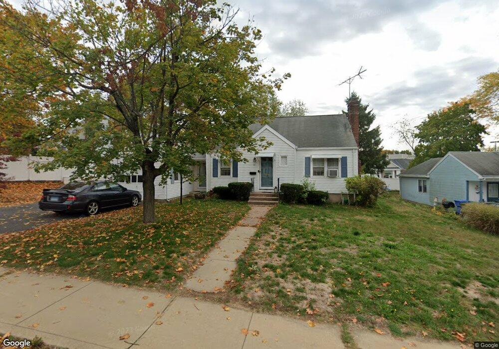
72 Oliver Rd Manchester, CT 06042
Waddell NeighborhoodEstimated Value: $299,000 - $329,000
3
Beds
2
Baths
1,417
Sq Ft
$219/Sq Ft
Est. Value
About This Home
This home is located at 72 Oliver Rd, Manchester, CT 06042 and is currently estimated at $310,572, approximately $219 per square foot. 72 Oliver Rd is a home located in Hartford County with nearby schools including Waddell School, Illing Middle School, and Elisabeth M. Bennet Academy.
Ownership History
Date
Name
Owned For
Owner Type
Purchase Details
Closed on
Oct 13, 2017
Sold by
Bayer Jenna J
Bought by
Bayer Jenna J and Ahl Joseph J
Current Estimated Value
Purchase Details
Closed on
Jul 10, 2017
Sold by
Mcmahon Cheryl L
Bought by
Bayer Jenna J
Purchase Details
Closed on
Jul 18, 2014
Sold by
Bayer Jeffrey J
Bought by
Mcmahon Cheryl L
Create a Home Valuation Report for This Property
The Home Valuation Report is an in-depth analysis detailing your home's value as well as a comparison with similar homes in the area
Home Values in the Area
Average Home Value in this Area
Purchase History
| Date | Buyer | Sale Price | Title Company |
|---|---|---|---|
| Bayer Jenna J | -- | -- | |
| Bayer Jenna J | -- | -- | |
| Bayer Jenna J | -- | -- | |
| Bayer Jenna J | -- | -- | |
| Mcmahon Cheryl L | -- | -- | |
| Mcmahon Cheryl L | -- | -- |
Source: Public Records
Tax History
| Year | Tax Paid | Tax Assessment Tax Assessment Total Assessment is a certain percentage of the fair market value that is determined by local assessors to be the total taxable value of land and additions on the property. | Land | Improvement |
|---|---|---|---|---|
| 2025 | $5,280 | $132,600 | $37,500 | $95,100 |
| 2024 | $5,129 | $132,600 | $37,500 | $95,100 |
| 2023 | $4,933 | $132,600 | $37,500 | $95,100 |
| 2022 | $4,836 | $132,600 | $37,500 | $95,100 |
| 2021 | $3,615 | $99,000 | $32,200 | $66,800 |
| 2020 | $3,615 | $99,000 | $32,200 | $66,800 |
| 2019 | $3,615 | $99,000 | $32,200 | $66,800 |
| 2018 | $3,545 | $99,000 | $32,200 | $66,800 |
| 2017 | $3,450 | $99,000 | $32,200 | $66,800 |
| 2016 | $3,628 | $104,100 | $41,000 | $63,100 |
| 2015 | $3,610 | $104,100 | $41,000 | $63,100 |
| 2014 | $3,539 | $104,100 | $41,000 | $63,100 |
Source: Public Records
Map
Nearby Homes
- 41 Windemere St
- 12 Butler Rd
- 83 Deerfield Dr
- 80 Hemlock St
- 95 Middle Turnpike W Unit B4
- 514 Hilliard St
- 708 Hilliard St
- 84 Middle Turnpike W
- 537 Center St
- 205 Homestead St Unit B3
- 555 Hilliard St Unit A
- 3 Anderson St
- 8 Hendee Rd
- 15 Saint John St
- 600 Center St
- 20 Thompson Rd Unit 8A
- 342 Center St
- 739 Center St
- 240 W Center St
- 15 Stock Place
Your Personal Tour Guide
Ask me questions while you tour the home.