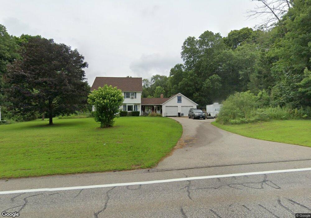
72 Palmer Rd Hampton, CT 06247
Estimated Value: $474,295 - $590,000
3
Beds
3
Baths
2,092
Sq Ft
$244/Sq Ft
Est. Value
About This Home
This home is located at 72 Palmer Rd, Hampton, CT 06247 and is currently estimated at $509,574, approximately $243 per square foot. 72 Palmer Rd is a home located in Windham County with nearby schools including Scotland Elementary School and Parish Hill High School.
Ownership History
Date
Name
Owned For
Owner Type
Purchase Details
Closed on
May 4, 2000
Sold by
Shafer Raymond A and Shafer Debra L
Bought by
Vining Douglas M and Vining Rosita A
Current Estimated Value
Home Financials for this Owner
Home Financials are based on the most recent Mortgage that was taken out on this home.
Original Mortgage
$136,800
Interest Rate
8.21%
Mortgage Type
Purchase Money Mortgage
Create a Home Valuation Report for This Property
The Home Valuation Report is an in-depth analysis detailing your home's value as well as a comparison with similar homes in the area
Home Values in the Area
Average Home Value in this Area
Purchase History
| Date | Buyer | Sale Price | Title Company |
|---|---|---|---|
| Vining Douglas M | $171,000 | -- |
Source: Public Records
Mortgage History
| Date | Status | Borrower | Loan Amount |
|---|---|---|---|
| Closed | Vining Douglas M | $217,745 | |
| Closed | Vining Douglas M | $175,000 | |
| Closed | Vining Douglas M | $136,800 | |
| Previous Owner | Vining Douglas M | $128,000 |
Source: Public Records
Tax History
| Year | Tax Paid | Tax Assessment Tax Assessment Total Assessment is a certain percentage of the fair market value that is determined by local assessors to be the total taxable value of land and additions on the property. | Land | Improvement |
|---|---|---|---|---|
| 2025 | $8,338 | $265,300 | $34,580 | $230,720 |
| 2024 | $7,893 | $265,300 | $34,580 | $230,720 |
| 2023 | $7,320 | $183,000 | $34,700 | $148,300 |
| 2022 | $7,137 | $183,000 | $34,700 | $148,300 |
| 2021 | $7,137 | $183,000 | $34,700 | $148,300 |
| 2020 | $7,805 | $183,000 | $34,700 | $148,300 |
| 2019 | $7,805 | $183,000 | $34,700 | $148,300 |
| 2018 | $7,131 | $180,860 | $47,290 | $133,570 |
| 2017 | $6,996 | $180,860 | $47,290 | $133,570 |
| 2016 | $6,996 | $180,860 | $47,290 | $133,570 |
| 2015 | $6,466 | $180,860 | $47,290 | $133,570 |
| 2014 | $6,330 | $180,860 | $47,290 | $133,570 |
Source: Public Records
Map
Nearby Homes
- 8 Palmer Rd
- 0 Brook Rd Unit lot 4
- 7 Devotion Rd
- 70 Crandall Ln
- 209 Cemetery Rd
- 408 Huntington Rd
- 63 Gay Head Rd
- 0 Hanover Rd
- 274 Colburn Rd
- 97 Bass Rd
- 625 Pudding Hill Rd
- 0 Brooklyn Rd Unit 24124218
- 80 John MacK Rd
- 76 John Brook Rd
- 101 Reilly Rd
- 99 Reilly Rd
- 349 S Bigelow Rd
- 890 Brook Rd
- 310 S Bigelow Rd
- 771 Brook Rd
Your Personal Tour Guide
Ask me questions while you tour the home.