72 Pattys Rd Mansfield, MA 02048
Estimated Value: $686,000 - $869,000
3
Beds
3
Baths
1,656
Sq Ft
$459/Sq Ft
Est. Value
About This Home
This home is located at 72 Pattys Rd, Mansfield, MA 02048 and is currently estimated at $760,017, approximately $458 per square foot. 72 Pattys Rd is a home located in Bristol County with nearby schools including Jordan/Jackson Elementary School, Everett W. Robinson Elementary School, and Harold L. Qualters Middle School.
Ownership History
Date
Name
Owned For
Owner Type
Purchase Details
Closed on
Jan 26, 1995
Sold by
Massapoag Constr Co
Bought by
Brundige Christopher J and Brundige Anne P
Current Estimated Value
Home Financials for this Owner
Home Financials are based on the most recent Mortgage that was taken out on this home.
Original Mortgage
$137,000
Interest Rate
9.24%
Mortgage Type
Purchase Money Mortgage
Create a Home Valuation Report for This Property
The Home Valuation Report is an in-depth analysis detailing your home's value as well as a comparison with similar homes in the area
Home Values in the Area
Average Home Value in this Area
Purchase History
| Date | Buyer | Sale Price | Title Company |
|---|---|---|---|
| Brundige Christopher J | $171,367 | -- |
Source: Public Records
Mortgage History
| Date | Status | Borrower | Loan Amount |
|---|---|---|---|
| Open | Brundige Christopher J | $116,000 | |
| Closed | Brundige Christopher J | $137,000 | |
| Closed | Brundige Christopher J | $137,000 | |
| Previous Owner | Brundige Christopher J | $137,000 |
Source: Public Records
Tax History Compared to Growth
Tax History
| Year | Tax Paid | Tax Assessment Tax Assessment Total Assessment is a certain percentage of the fair market value that is determined by local assessors to be the total taxable value of land and additions on the property. | Land | Improvement |
|---|---|---|---|---|
| 2025 | $8,125 | $616,900 | $278,100 | $338,800 |
| 2024 | $8,081 | $598,600 | $290,200 | $308,400 |
| 2023 | $7,800 | $553,600 | $290,200 | $263,400 |
| 2022 | $7,527 | $496,200 | $268,600 | $227,600 |
| 2021 | $7,213 | $469,600 | $223,900 | $245,700 |
| 2020 | $7,113 | $463,100 | $223,900 | $239,200 |
| 2019 | $6,513 | $427,900 | $186,500 | $241,400 |
| 2018 | $3,447 | $414,900 | $177,800 | $237,100 |
| 2017 | $6,059 | $403,400 | $172,800 | $230,600 |
| 2016 | $5,897 | $382,700 | $164,500 | $218,200 |
| 2015 | $5,761 | $371,700 | $164,500 | $207,200 |
Source: Public Records
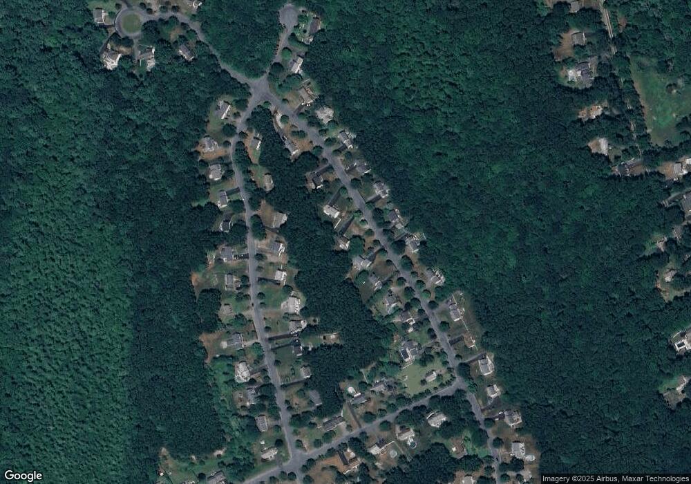
Map
Nearby Homes
- 260 Massapoag Ave
- 218 Massapoag Ave
- 3 Nicole Rd
- 98 Massapoag Ave
- 2 Red Fox Run
- 89 Massapoag Ave
- 25 Winter St
- 261 East St
- 81 Rockland St
- 3 Cushing Ln
- 1 Revere Dr
- 7 Revere Dr
- 10 Erick Rd Unit 34
- 10 Erick Rd Unit 31
- 55-57 Pine Needle Ln
- 46 Kerry Dr
- 4 Plantation Rd
- 5 Pineview Terrace
- 12 Community Way
- 96 Kevins Way