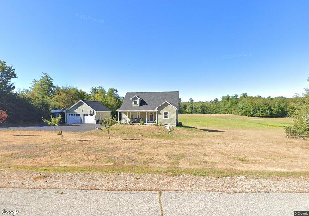
72 Perkins Hill Rd East Wakefield, NH 03830
Estimated Value: $671,016 - $752,000
3
Beds
3
Baths
2,543
Sq Ft
$285/Sq Ft
Est. Value
About This Home
This home is located at 72 Perkins Hill Rd, East Wakefield, NH 03830 and is currently estimated at $724,004, approximately $284 per square foot. 72 Perkins Hill Rd is a home with nearby schools including Paul Elementary School.
Ownership History
Date
Name
Owned For
Owner Type
Purchase Details
Closed on
Apr 28, 2017
Sold by
Emp Construction Llc
Bought by
Arias James J and Arias Lorri
Current Estimated Value
Home Financials for this Owner
Home Financials are based on the most recent Mortgage that was taken out on this home.
Original Mortgage
$293,700
Outstanding Balance
$153,957
Interest Rate
4.3%
Estimated Equity
$570,047
Create a Home Valuation Report for This Property
The Home Valuation Report is an in-depth analysis detailing your home's value as well as a comparison with similar homes in the area
Home Values in the Area
Average Home Value in this Area
Purchase History
| Date | Buyer | Sale Price | Title Company |
|---|---|---|---|
| Arias James J | $302,933 | -- |
Source: Public Records
Mortgage History
| Date | Status | Borrower | Loan Amount |
|---|---|---|---|
| Open | Arias James J | $293,700 |
Source: Public Records
Tax History Compared to Growth
Tax History
| Year | Tax Paid | Tax Assessment Tax Assessment Total Assessment is a certain percentage of the fair market value that is determined by local assessors to be the total taxable value of land and additions on the property. | Land | Improvement |
|---|---|---|---|---|
| 2024 | $4,468 | $594,200 | $106,100 | $488,100 |
| 2023 | $4,070 | $594,200 | $106,100 | $488,100 |
| 2022 | $4,210 | $343,700 | $48,900 | $294,800 |
| 2021 | $4,187 | $339,300 | $48,900 | $290,400 |
| 2020 | $4,269 | $344,800 | $54,400 | $290,400 |
| 2019 | $4,300 | $344,800 | $54,400 | $290,400 |
| 2018 | $3,882 | $344,800 | $54,400 | $290,400 |
| 2017 | $3,455 | $273,100 | $55,500 | $217,600 |
| 2016 | $18 | $1,376 | $1,376 | $0 |
| 2015 | $18 | $1,404 | $1,404 | $0 |
| 2014 | $18 | $1,444 | $1,444 | $0 |
| 2013 | $17 | $1,377 | $1,377 | $0 |
Source: Public Records
Map
Nearby Homes
- 140 Perkins Hill Rd
- 149 Sleepy Hollow Rd
- 1690 Province Lake Rd
- 55 Cese Way
- Lots 30+18 Thornhill Rd
- 29 Concord Ln
- 115 Chandler Ln
- 2403 Province Lake Rd Unit 21000
- 0 Monique Dr Unit 5047887
- 97 Daniel Dr
- 8 Eliot Dr
- 51 Mill Pond Rd
- Parcel #1 Sanborn Rd
- 201 Beverly Hills Dr
- Lot #021 Abbott Rd
- 0 Island Dr
- 419 Belleau Blvd
- 204 Acton Ridge Rd Unit 204
- 1618 Acton Ridge Rd
- 57 Green Bay Rd
- 84 Perkins Hill Rd
- 20 Perkins Hill Rd
- 124 Perkins Hill Rd
- Lot 40 Perkins Hill Rd
- Lot 40-2 Perkins Hill Rd
- Lot 40-3 Perkins Hill Rd
- Lot 40+ Perkins Hill Rd
- Lot 40-1 Perkins Hill Rd
- 1950 Province Lake Rd
- Lot 40-4 Perkins Hill Rd
- 1884 Province Lake Rd
- 1930 Province Lake Rd
- 1882 Province Lake Rd
- 00 Pinewood Shores
- 1975 Province Lake Rd
- 1965 Province Lake Rd
- 1951 Province Lake Rd
- 1991 Province Lake Rd
- Lot 34 Province Lake Rd
- 1902 Province Lake Rd