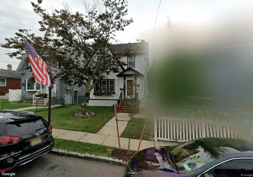
72 Raymond Ave Staten Island, NY 10314
Westerleigh NeighborhoodEstimated Value: $709,028 - $782,000
3
Beds
2
Baths
1,424
Sq Ft
$522/Sq Ft
Est. Value
About This Home
This home is located at 72 Raymond Ave, Staten Island, NY 10314 and is currently estimated at $743,757, approximately $522 per square foot. 72 Raymond Ave is a home located in Richmond County with nearby schools including P.S. 29 Bardwell, Intermediate School 27, and Susan E Wagner High School.
Ownership History
Date
Name
Owned For
Owner Type
Purchase Details
Closed on
Sep 3, 1999
Sold by
Politi Mark V and Politi Anne Marie
Bought by
Turner Peter J and Turner Patricia
Current Estimated Value
Home Financials for this Owner
Home Financials are based on the most recent Mortgage that was taken out on this home.
Original Mortgage
$184,000
Interest Rate
7.9%
Create a Home Valuation Report for This Property
The Home Valuation Report is an in-depth analysis detailing your home's value as well as a comparison with similar homes in the area
Home Values in the Area
Average Home Value in this Area
Purchase History
| Date | Buyer | Sale Price | Title Company |
|---|---|---|---|
| Turner Peter J | $209,000 | -- |
Source: Public Records
Mortgage History
| Date | Status | Borrower | Loan Amount |
|---|---|---|---|
| Previous Owner | Turner Peter J | $184,000 |
Source: Public Records
Tax History Compared to Growth
Tax History
| Year | Tax Paid | Tax Assessment Tax Assessment Total Assessment is a certain percentage of the fair market value that is determined by local assessors to be the total taxable value of land and additions on the property. | Land | Improvement |
|---|---|---|---|---|
| 2025 | $6,036 | $42,780 | $10,707 | $32,073 |
| 2024 | $6,048 | $41,940 | $10,303 | $31,637 |
| 2023 | $5,840 | $30,154 | $8,774 | $21,380 |
| 2022 | $5,733 | $40,860 | $13,740 | $27,120 |
| 2021 | $5,894 | $38,100 | $13,740 | $24,360 |
| 2020 | $5,584 | $35,640 | $13,740 | $21,900 |
| 2019 | $5,190 | $30,960 | $13,740 | $17,220 |
| 2018 | $4,825 | $25,128 | $12,844 | $12,284 |
| 2017 | $4,823 | $25,128 | $13,351 | $11,777 |
| 2016 | $4,596 | $24,539 | $12,859 | $11,680 |
| 2015 | $3,886 | $23,150 | $13,571 | $9,579 |
| 2014 | $3,886 | $21,840 | $15,300 | $6,540 |
Source: Public Records
Map
Nearby Homes
- 25 Coale Ave
- 80 Kemball Ave
- 148 Sturges St
- 136 Sturges St
- 33 Gower St
- 21 Winthrop Place
- 25 Winthrop Place
- 80 Beechwood Place
- 160 Westcott Blvd
- 36 Sawyer Ave
- 27 Sommers Ln
- 254 Rice Ave
- 125 Westcott Blvd
- 83 N Gannon Ave Unit A
- 125 N Gannon Ave
- 86 Clermont Place
- 100 Knox Place
- 1625 Victory Blvd
- 77 Todt Hill Rd
- 85 Perry Ave