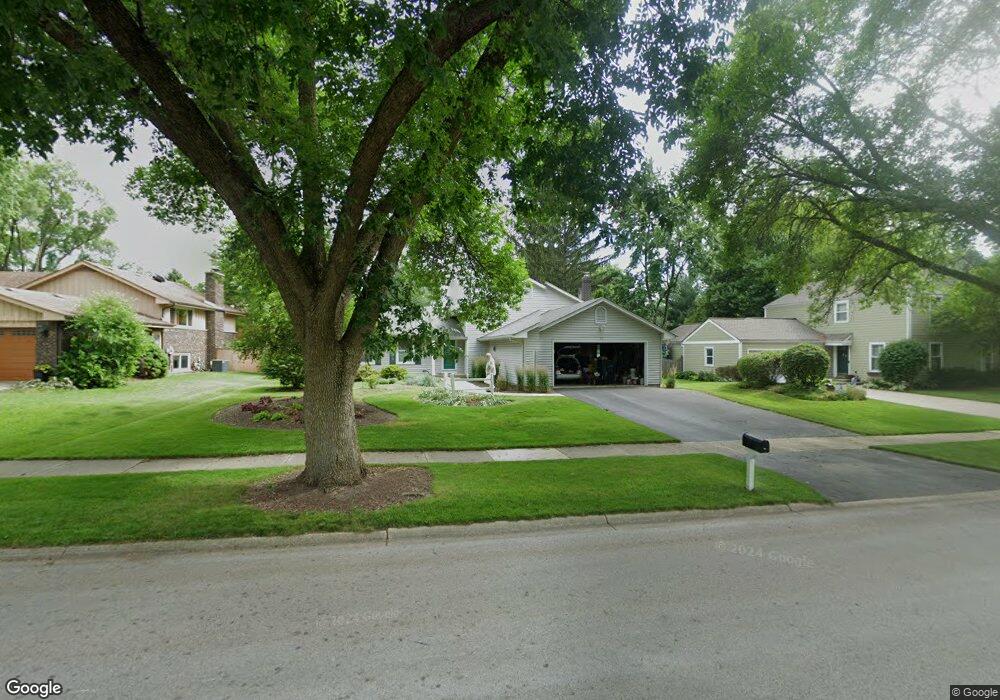
72 Redstart Rd Naperville, IL 60565
Maple Brook NeighborhoodEstimated Value: $422,786 - $520,000
Studio
--
Bath
1,304
Sq Ft
$364/Sq Ft
Est. Value
About This Home
This home is located at 72 Redstart Rd, Naperville, IL 60565 and is currently estimated at $474,197, approximately $363 per square foot. 72 Redstart Rd is a home located in DuPage County with nearby schools including Maplebrook Elementary School, Lincoln Jr. High School, and Naperville Central High School.
Ownership History
Date
Name
Owned For
Owner Type
Purchase Details
Closed on
Jun 4, 1999
Sold by
Gilio Rocco N and Gilio Josephine
Bought by
Church Charles B and Church Susan E
Current Estimated Value
Home Financials for this Owner
Home Financials are based on the most recent Mortgage that was taken out on this home.
Original Mortgage
$148,750
Outstanding Balance
$39,263
Interest Rate
7.06%
Estimated Equity
$434,934
Create a Home Valuation Report for This Property
The Home Valuation Report is an in-depth analysis detailing your home's value as well as a comparison with similar homes in the area
Home Values in the Area
Average Home Value in this Area
Purchase History
| Date | Buyer | Sale Price | Title Company |
|---|---|---|---|
| Church Charles B | $175,000 | -- |
Source: Public Records
Mortgage History
| Date | Status | Borrower | Loan Amount |
|---|---|---|---|
| Open | Church Charles B | $148,750 |
Source: Public Records
Tax History
| Year | Tax Paid | Tax Assessment Tax Assessment Total Assessment is a certain percentage of the fair market value that is determined by local assessors to be the total taxable value of land and additions on the property. | Land | Improvement |
|---|---|---|---|---|
| 2024 | $7,933 | $137,499 | $74,343 | $63,156 |
| 2023 | $7,634 | $125,490 | $67,850 | $57,640 |
| 2022 | $7,347 | $119,520 | $64,620 | $54,900 |
| 2021 | $7,075 | $115,000 | $62,180 | $52,820 |
| 2020 | $6,923 | $112,930 | $61,060 | $51,870 |
| 2019 | $6,717 | $108,050 | $58,420 | $49,630 |
| 2018 | $6,545 | $105,410 | $56,990 | $48,420 |
| 2017 | $6,410 | $101,860 | $55,070 | $46,790 |
| 2016 | $6,279 | $98,180 | $53,080 | $45,100 |
| 2015 | $6,232 | $92,460 | $49,990 | $42,470 |
| 2014 | $6,108 | $88,060 | $47,610 | $40,450 |
| 2013 | $6,016 | $88,270 | $47,720 | $40,550 |
Source: Public Records
Map
Nearby Homes
- 48 Starling Ln
- 381 Prairie Knoll Dr
- 1751 S Washington St Unit 1
- 1754 S Washington St Unit 1754
- 124 E Bailey Rd Unit E
- 138 E Bailey Rd Unit M
- 264 E Bailey Rd Unit C
- 144 E Bailey Rd Unit D
- 228 E Bailey Rd Unit F
- 2057 Lancaster Cir Unit 101C
- 1712 Coach Dr
- 321 Carriage Hill Rd
- 307 Leeds Ct
- 47 Glencoe Ct Unit 102D
- 34 Glencoe Ct Unit 202B
- 95 Midhurst Ct Unit 101
- 517 Sheffield Rd
- 1715 Amelia Ct
- 621 Bourbon Ct
- 96 Midhurst Ct Unit 201
Your Personal Tour Guide
Ask me questions while you tour the home.