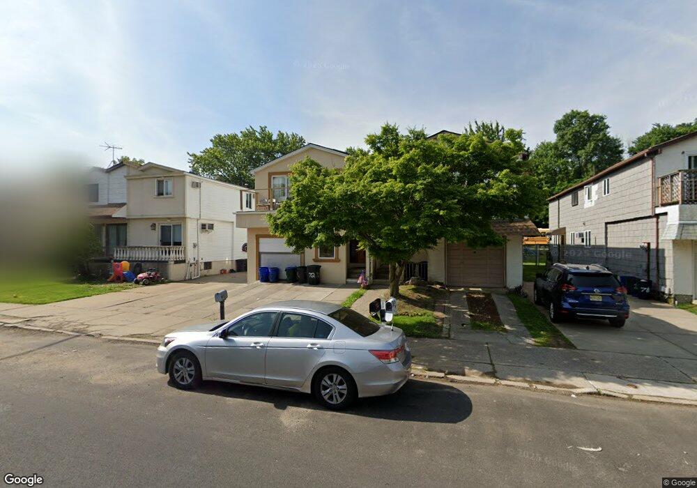
72 Roanoke St Staten Island, NY 10314
Willowbrook NeighborhoodEstimated Value: $940,000 - $1,036,000
3
Beds
3
Baths
2,552
Sq Ft
$386/Sq Ft
Est. Value
About This Home
This home is located at 72 Roanoke St, Staten Island, NY 10314 and is currently estimated at $984,591, approximately $385 per square foot. 72 Roanoke St is a home located in Richmond County with nearby schools including P.S. 54 Charles W Leng, Is 72 Rocco Laurie, and Susan E Wagner High School.
Ownership History
Date
Name
Owned For
Owner Type
Purchase Details
Closed on
Aug 1, 2017
Sold by
Hazan Youssef and Hazan Amit
Bought by
Hazan Yiyssef
Current Estimated Value
Purchase Details
Closed on
Sep 8, 2005
Sold by
Katz Yasha and Katz Raisa
Bought by
Hazan Yosset and Hazan Amran Amit
Home Financials for this Owner
Home Financials are based on the most recent Mortgage that was taken out on this home.
Original Mortgage
$210,000
Outstanding Balance
$112,844
Interest Rate
5.92%
Mortgage Type
Fannie Mae Freddie Mac
Estimated Equity
$871,747
Create a Home Valuation Report for This Property
The Home Valuation Report is an in-depth analysis detailing your home's value as well as a comparison with similar homes in the area
Home Values in the Area
Average Home Value in this Area
Purchase History
| Date | Buyer | Sale Price | Title Company |
|---|---|---|---|
| Hazan Yiyssef | -- | None Available | |
| Hazan Yosset | $499,000 | -- |
Source: Public Records
Mortgage History
| Date | Status | Borrower | Loan Amount |
|---|---|---|---|
| Open | Hazan Yosset | $210,000 |
Source: Public Records
Tax History Compared to Growth
Tax History
| Year | Tax Paid | Tax Assessment Tax Assessment Total Assessment is a certain percentage of the fair market value that is determined by local assessors to be the total taxable value of land and additions on the property. | Land | Improvement |
|---|---|---|---|---|
| 2025 | $7,905 | $50,640 | $8,449 | $42,191 |
| 2024 | $7,905 | $48,780 | $8,763 | $40,017 |
| 2023 | $6,017 | $37,132 | $8,949 | $28,183 |
| 2022 | $5,469 | $45,480 | $10,860 | $34,620 |
| 2021 | $6,955 | $44,580 | $10,860 | $33,720 |
| 2020 | $5,425 | $48,720 | $10,860 | $37,860 |
| 2019 | $6,861 | $43,920 | $10,860 | $33,060 |
| 2018 | $6,308 | $30,943 | $8,435 | $22,508 |
| 2017 | $5,951 | $29,192 | $9,452 | $19,740 |
| 2016 | $5,506 | $27,540 | $10,860 | $16,680 |
| 2015 | $5,251 | $27,360 | $9,600 | $17,760 |
| 2014 | $5,251 | $27,360 | $9,600 | $17,760 |
Source: Public Records
Map
Nearby Homes
- 15 Soren St
- 50 Bradley Ct Unit 52
- 1023 Forest Hill Rd
- 114 Sunset Ave
- 33 Bradley Ct Unit A
- 17 Bradley Ct Unit A
- 566 Buchanan Ave Unit B
- 243 Wellbrook Ave
- 546 Buchanan Ave Unit B
- 15 Boone St
- 371 Bradley Ave
- 148 Roosevelt Ave
- 240 Harold St
- 153 Graves St
- 5 Birchard Ave
- 236 Queen St
- 158 Portage Ave
- 245 Martin Ave
- 380 Gansevoort Blvd
- 274 Crafton Ave