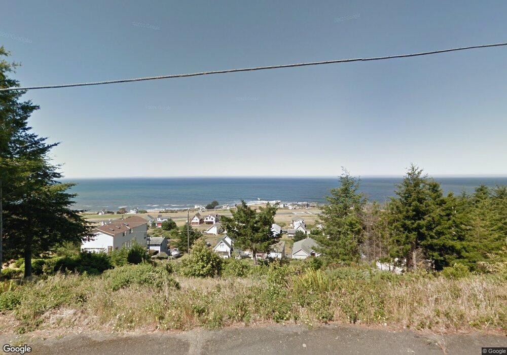
72 Shaker Rd Shelter Cove, CA 95589
Shelter Cove NeighborhoodEstimated Value: $58,000 - $329,000
--
Bed
--
Bath
--
Sq Ft
5,227
Sq Ft Lot
About This Home
This home is located at 72 Shaker Rd, Shelter Cove, CA 95589 and is currently estimated at $198,844. 72 Shaker Rd is a home located in Humboldt County.
Ownership History
Date
Name
Owned For
Owner Type
Purchase Details
Closed on
Mar 29, 2007
Sold by
Ohslund John J and Ohslund Patricia A
Bought by
Ohslund John J and Ohslund Patricia A
Current Estimated Value
Purchase Details
Closed on
Nov 9, 2004
Sold by
Budwig Robert A and Budwig Jennifer P
Bought by
Ohslund John and Ohslund Patricia
Purchase Details
Closed on
Jul 25, 2003
Sold by
Smith Daynel L and Smith Bette E
Bought by
Budwig Robert A and Budwig Jennifer P
Home Financials for this Owner
Home Financials are based on the most recent Mortgage that was taken out on this home.
Original Mortgage
$33,000
Interest Rate
5.6%
Mortgage Type
Seller Take Back
Purchase Details
Closed on
Jan 14, 2000
Sold by
Smith Daynel L and Smith Bette E
Bought by
Smith Daynel L and Smith Bette E
Create a Home Valuation Report for This Property
The Home Valuation Report is an in-depth analysis detailing your home's value as well as a comparison with similar homes in the area
Home Values in the Area
Average Home Value in this Area
Purchase History
| Date | Buyer | Sale Price | Title Company |
|---|---|---|---|
| Ohslund John J | -- | None Available | |
| Ohslund John | $134,000 | Humboldt Land & Title Co | |
| Budwig Robert A | $45,000 | Humboldt Land Title Company | |
| Smith Daynel L | -- | -- |
Source: Public Records
Mortgage History
| Date | Status | Borrower | Loan Amount |
|---|---|---|---|
| Previous Owner | Budwig Robert A | $33,000 |
Source: Public Records
Tax History Compared to Growth
Tax History
| Year | Tax Paid | Tax Assessment Tax Assessment Total Assessment is a certain percentage of the fair market value that is determined by local assessors to be the total taxable value of land and additions on the property. | Land | Improvement |
|---|---|---|---|---|
| 2025 | $2,279 | $186,777 | $186,777 | -- |
| 2024 | $2,279 | $183,115 | $183,115 | -- |
| 2023 | $2,288 | $179,525 | $179,525 | $0 |
| 2022 | $2,256 | $176,005 | $176,005 | $0 |
| 2021 | $2,180 | $172,554 | $172,554 | $0 |
| 2020 | $2,192 | $170,785 | $170,785 | $0 |
| 2019 | $2,143 | $167,437 | $167,437 | $0 |
| 2018 | $2,111 | $164,154 | $164,154 | $0 |
| 2017 | $2,002 | $160,936 | $160,936 | $0 |
| 2016 | $1,991 | $157,781 | $157,781 | $0 |
| 2015 | $1,982 | $155,411 | $155,411 | $0 |
| 2014 | $1,875 | $152,367 | $152,367 | $0 |
Source: Public Records
Map
Nearby Homes