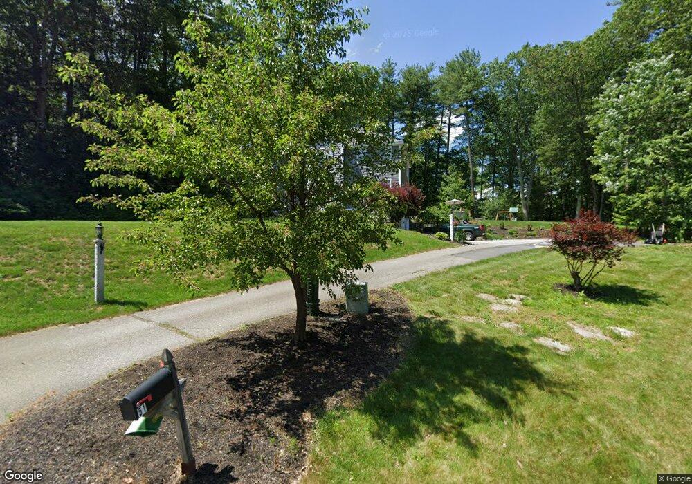
72 Shannon Cir Pelham, NH 03076
Estimated Value: $701,000 - $756,000
4
Beds
3
Baths
2,280
Sq Ft
$324/Sq Ft
Est. Value
About This Home
This home is located at 72 Shannon Cir, Pelham, NH 03076 and is currently estimated at $737,623, approximately $323 per square foot. 72 Shannon Cir is a home with nearby schools including Pelham Elementary School, Pelham Memorial School, and Pelham High School.
Ownership History
Date
Name
Owned For
Owner Type
Purchase Details
Closed on
Sep 29, 2000
Sold by
Shannon Dev Corp
Bought by
Mchale James P and Mchale Suzanne E
Current Estimated Value
Home Financials for this Owner
Home Financials are based on the most recent Mortgage that was taken out on this home.
Original Mortgage
$150,800
Interest Rate
7.94%
Create a Home Valuation Report for This Property
The Home Valuation Report is an in-depth analysis detailing your home's value as well as a comparison with similar homes in the area
Home Values in the Area
Average Home Value in this Area
Purchase History
| Date | Buyer | Sale Price | Title Company |
|---|---|---|---|
| Mchale James P | $246,000 | -- |
Source: Public Records
Mortgage History
| Date | Status | Borrower | Loan Amount |
|---|---|---|---|
| Open | Mchale James P | $329,768 | |
| Closed | Mchale James P | $347,985 | |
| Closed | Mchale James P | $30,000 | |
| Closed | Mchale James P | $150,800 |
Source: Public Records
Tax History Compared to Growth
Tax History
| Year | Tax Paid | Tax Assessment Tax Assessment Total Assessment is a certain percentage of the fair market value that is determined by local assessors to be the total taxable value of land and additions on the property. | Land | Improvement |
|---|---|---|---|---|
| 2024 | $9,942 | $542,100 | $149,500 | $392,600 |
| 2023 | $9,861 | $542,100 | $149,500 | $392,600 |
| 2022 | $9,450 | $542,500 | $149,500 | $393,000 |
| 2021 | $8,658 | $542,500 | $149,500 | $393,000 |
| 2020 | $7,858 | $389,000 | $119,400 | $269,600 |
| 2019 | $7,533 | $388,300 | $119,400 | $268,900 |
| 2018 | $7,554 | $352,000 | $119,400 | $232,600 |
| 2017 | $7,550 | $352,000 | $119,400 | $232,600 |
| 2016 | $7,374 | $352,000 | $119,400 | $232,600 |
| 2015 | $7,325 | $314,900 | $119,100 | $195,800 |
| 2014 | $7,202 | $314,900 | $119,100 | $195,800 |
| 2013 | $7,142 | $312,300 | $119,100 | $193,200 |
Source: Public Records
Map
Nearby Homes
- 2 Iris Ave
- 4 Melody Ln
- 59 Thistlewood Dr Unit 47
- 67 Lincoln Ln
- 19 Esther Way Unit Lot 10
- 20 Esther Way Unit 11
- 99 Lincoln Ln
- 321 Old Marsh Hill Rd
- 71 Deer Hill Cir
- 50 Dutton Rd
- 109 Meadow Creek Dr
- 167 Betty Ann Ln
- 50 Stephen Ave
- 1 Currier Rd
- 34 Frontier Dr
- 121 Old Marsh Hill Rd
- 26 Frank St
- 10 Dutton Rd
- 999 Hildreth St
- 67 Foxhill Ln Unit 67