72 Shore Bridge Cir Inlet Beach, FL 32461
Watersound NeighborhoodEstimated Value: $2,026,438 - $4,894,000
4
Beds
3
Baths
3,652
Sq Ft
$925/Sq Ft
Est. Value
About This Home
This home is located at 72 Shore Bridge Cir, Inlet Beach, FL 32461 and is currently estimated at $3,377,110, approximately $924 per square foot. 72 Shore Bridge Cir is a home with nearby schools including Dune Lakes Elementary School, Emerald Coast Middle School, and South Walton High School.
Ownership History
Date
Name
Owned For
Owner Type
Purchase Details
Closed on
Apr 14, 2021
Sold by
Samuels Ronald and Samuels Lynn
Bought by
Samuels Ronald and Lynn Samuels J
Current Estimated Value
Purchase Details
Closed on
Sep 25, 2002
Sold by
St Joe Arvida Home Building Lp
Bought by
Samuels Ronald and Samuels Lynn
Home Financials for this Owner
Home Financials are based on the most recent Mortgage that was taken out on this home.
Original Mortgage
$189,000
Interest Rate
6.19%
Create a Home Valuation Report for This Property
The Home Valuation Report is an in-depth analysis detailing your home's value as well as a comparison with similar homes in the area
Home Values in the Area
Average Home Value in this Area
Purchase History
| Date | Buyer | Sale Price | Title Company |
|---|---|---|---|
| Samuels Ronald | -- | Accommodation | |
| Samuels Ronald | $210,000 | Sunbelt Title Agency |
Source: Public Records
Mortgage History
| Date | Status | Borrower | Loan Amount |
|---|---|---|---|
| Closed | Samuels Ronald | $189,000 |
Source: Public Records
Tax History Compared to Growth
Tax History
| Year | Tax Paid | Tax Assessment Tax Assessment Total Assessment is a certain percentage of the fair market value that is determined by local assessors to be the total taxable value of land and additions on the property. | Land | Improvement |
|---|---|---|---|---|
| 2025 | $19,398 | $2,146,774 | $700,000 | $1,446,774 |
| 2024 | $17,243 | $2,028,982 | $565,000 | $1,463,982 |
| 2023 | $17,243 | $1,826,793 | $0 | $0 |
| 2022 | $16,288 | $1,865,423 | $551,817 | $1,313,606 |
| 2021 | $14,614 | $1,509,746 | $536,280 | $973,466 |
| 2020 | $14,411 | $1,448,908 | $490,629 | $958,279 |
| 2019 | $12,985 | $1,307,482 | $476,339 | $831,143 |
| 2018 | $12,467 | $1,250,286 | $0 | $0 |
| 2017 | $12,140 | $1,224,840 | $420,000 | $804,840 |
| 2016 | $11,736 | $1,172,868 | $0 | $0 |
| 2015 | $10,944 | $1,076,670 | $0 | $0 |
| 2014 | $10,512 | $1,019,663 | $0 | $0 |
Source: Public Records
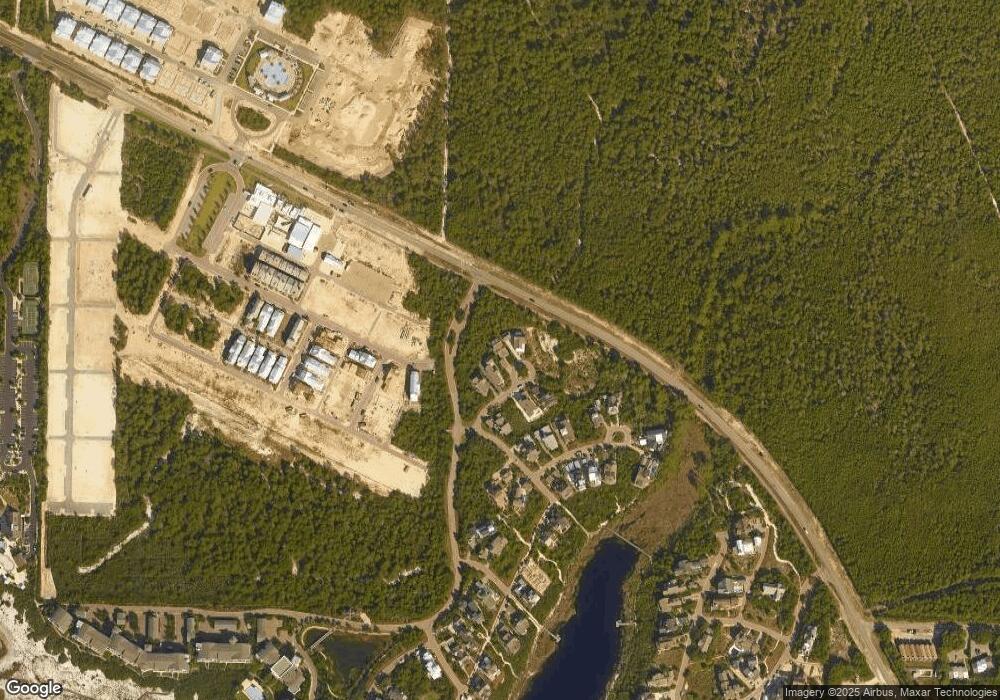
Map
Nearby Homes
- 80 Shore Bridge Cir
- 38 Shore Bridge Cir
- 27 Federal St
- 68 Creek Bridge Way
- 93 E Crabbing Hole Ln
- 9 Siasconset Ln
- 89 Clipper St
- 245 Gulf Bridge Ln
- 38 E Crabbing Hole Ln
- 177 Tidal Bridge Way
- 35 Pleasant St
- Lot 35 Creek Bridge Ln
- 21 Pleasant St
- 29 Tidal Bridge Way
- 22 Creek Bridge Ln
- 33 Clipper St
- 113 Siasconset Ln
- 111 E Milestone Dr Unit B
- 111 E Milestone Dr Unit C
- 25 Peace Ln
- 77 Shore Bridge Cir
- 77 Shore Bridge Cir
- 35 Shore Bridge Cir
- 23 Shore Bridge Cir
- 54 Shore Bridge Cir
- 62 Shore Bridge Cir
- Lot 6 Shore Bridge Cir
- 58 Shore Bridge Cir
- TBD Shore Bridge Cir Unit Lot 6
- LOT 10 Shore Bridge Cir
- 54 Shore Bridge Cir
- 140 Pleasant St
- 48 Shore Bridge Cir
- 12 Shore Bridge Cir
- 140 Wharf Ln Unit Lot 23
- 66 Shore Bridge Cir
- 167 Clipper St
- 144 Wharf Ln Unit C
- 19 Creek Bridge Way
- Lot 7 Shore Bridge Cir