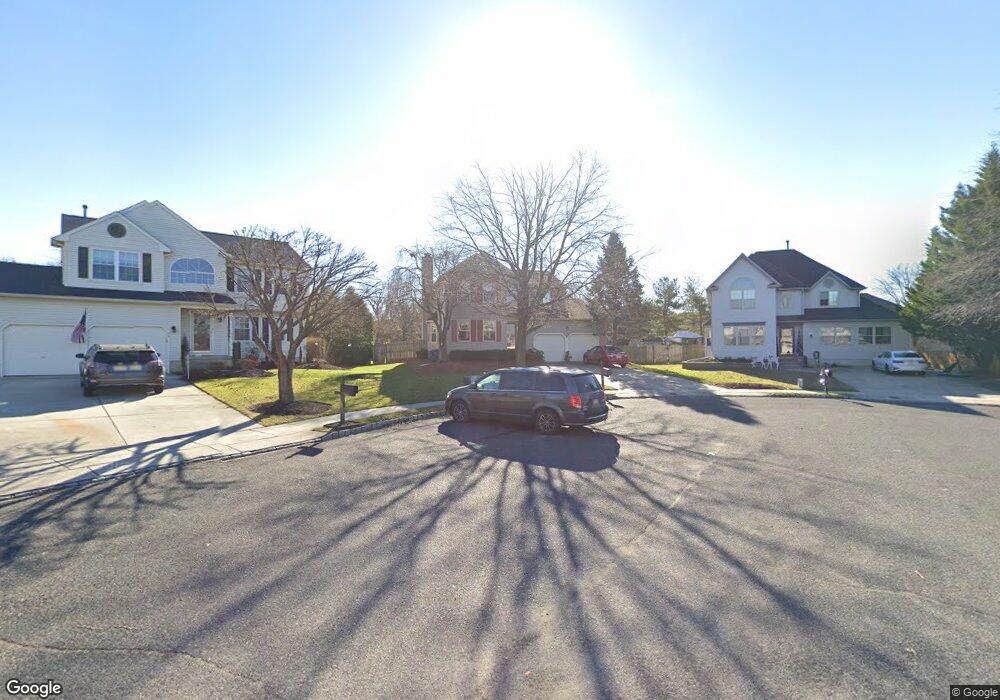
72 Springcress Dr Delran, NJ 08075
Estimated Value: $487,584 - $585,000
Studio
--
Bath
2,302
Sq Ft
$241/Sq Ft
Est. Value
About This Home
This home is located at 72 Springcress Dr, Delran, NJ 08075 and is currently estimated at $554,396, approximately $240 per square foot. 72 Springcress Dr is a home located in Burlington County with nearby schools including Millbridge Elementary School, Delran Intermediate School, and Delran Middle School.
Ownership History
Date
Name
Owned For
Owner Type
Purchase Details
Closed on
Jun 1, 2000
Sold by
Perdunn Arthur M and Perdunn Luann P
Bought by
Perdunn Luann P
Current Estimated Value
Purchase Details
Closed on
Oct 22, 1997
Sold by
Kane Thomas J and Kane Kathleen M
Bought by
Perdunn Arthur M and Perdunn Luann P
Home Financials for this Owner
Home Financials are based on the most recent Mortgage that was taken out on this home.
Original Mortgage
$100,000
Outstanding Balance
$15,869
Interest Rate
7.31%
Estimated Equity
$538,527
Create a Home Valuation Report for This Property
The Home Valuation Report is an in-depth analysis detailing your home's value as well as a comparison with similar homes in the area
Home Values in the Area
Average Home Value in this Area
Purchase History
| Date | Buyer | Sale Price | Title Company |
|---|---|---|---|
| Perdunn Luann P | -- | -- | |
| Perdunn Arthur M | $195,000 | Freedom Title & Abstract |
Source: Public Records
Mortgage History
| Date | Status | Borrower | Loan Amount |
|---|---|---|---|
| Open | Perdunn Arthur M | $100,000 |
Source: Public Records
Tax History
| Year | Tax Paid | Tax Assessment Tax Assessment Total Assessment is a certain percentage of the fair market value that is determined by local assessors to be the total taxable value of land and additions on the property. | Land | Improvement |
|---|---|---|---|---|
| 2025 | $11,141 | $280,200 | $65,000 | $215,200 |
| 2024 | $11,040 | $280,200 | $65,000 | $215,200 |
| 2023 | $11,040 | $280,200 | $65,000 | $215,200 |
| 2022 | $10,897 | $280,200 | $65,000 | $215,200 |
| 2021 | $10,098 | $280,200 | $65,000 | $215,200 |
| 2020 | $10,880 | $280,200 | $65,000 | $215,200 |
| 2019 | $10,779 | $280,200 | $65,000 | $215,200 |
| 2018 | $10,600 | $280,200 | $65,000 | $215,200 |
| 2017 | $10,432 | $280,200 | $65,000 | $215,200 |
| 2016 | $10,278 | $280,200 | $65,000 | $215,200 |
| 2015 | $10,107 | $280,200 | $65,000 | $215,200 |
| 2014 | $9,667 | $280,200 | $65,000 | $215,200 |
Source: Public Records
Map
Nearby Homes
- 44 Foxglove Dr Unit CO44
- 19 Foxglove Dr Unit 19
- 88 Foxglove Dr Unit 88
- 34 Foxglove Dr Unit 34
- 3 Dewberry Ln
- 4 Weatherly Rd
- 3 Aster Ct
- 2 Bayberry Ln
- 105 Hartford Rd
- 2 Millers Run
- 17 Ridgeview Rd
- 9 Waters Edge Dr
- 148 Natalie Rd Unit 148
- 328 Nicholas Dr Unit 328
- 326 Nicholas Dr Unit 326
- 0 0 Swarthmore Dr
- 712 Kimberly Dr
- 359 Creek Rd
- 751 Garwood Rd
- 801 Cox Rd
- 70 Springcress Dr
- 74 Springcress Dr
- 76 Springcress Dr
- 68 Springcress Dr
- 75 Foxglove Dr Unit CO75
- 79 Foxglove Dr Unit 79
- 71 Foxglove Dr Unit 71
- 67 Foxglove Dr Unit CO67
- 77 Foxglove Dr Unit 77
- 63 Foxglove Dr Unit 63
- 73 Foxglove Dr Unit 73
- 81 Foxglove Dr Unit 81
- 69 Foxglove Dr Unit CO69
- 59 Foxglove Dr Unit 59
- 65 Foxglove Dr Unit 65
- 89 Foxglove Dr Unit 89
- 87 Foxglove Dr Unit 87
- 61 Foxglove Dr Unit 61
- 95 Foxglove Dr Unit 95
- 78 Springcress Dr
Your Personal Tour Guide
Ask me questions while you tour the home.