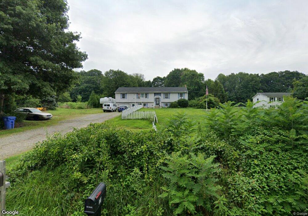
72 Squaw Rock Rd Moosup, CT 06354
Estimated Value: $317,000 - $460,000
4
Beds
2
Baths
1,722
Sq Ft
$231/Sq Ft
Est. Value
About This Home
This home is located at 72 Squaw Rock Rd, Moosup, CT 06354 and is currently estimated at $397,961, approximately $231 per square foot. 72 Squaw Rock Rd is a home located in Windham County with nearby schools including Plainfield Memorial School, Plainfield Central Middle School, and Plainfield High School.
Ownership History
Date
Name
Owned For
Owner Type
Purchase Details
Closed on
Mar 8, 2001
Sold by
Whitehead Todd W and Whitehead Rejane
Bought by
Bellows Crystal
Current Estimated Value
Home Financials for this Owner
Home Financials are based on the most recent Mortgage that was taken out on this home.
Original Mortgage
$104,000
Interest Rate
7.15%
Purchase Details
Closed on
Jun 27, 1996
Sold by
Daine Sandra L and Daine Perry E
Bought by
Whitehead Todd W and Whitehead Rejane
Purchase Details
Closed on
Jun 9, 1992
Sold by
Bristol Teachers Fcu
Bought by
Daine Sandra and Daine Perry
Create a Home Valuation Report for This Property
The Home Valuation Report is an in-depth analysis detailing your home's value as well as a comparison with similar homes in the area
Home Values in the Area
Average Home Value in this Area
Purchase History
| Date | Buyer | Sale Price | Title Company |
|---|---|---|---|
| Bellows Crystal | $130,000 | -- | |
| Bellows Crystal | $130,000 | -- | |
| Whitehead Todd W | $113,900 | -- | |
| Whitehead Todd W | $113,900 | -- | |
| Daine Sandra | $109,000 | -- | |
| Daine Sandra | $109,000 | -- |
Source: Public Records
Mortgage History
| Date | Status | Borrower | Loan Amount |
|---|---|---|---|
| Previous Owner | Daine Sandra | $104,000 | |
| Previous Owner | Daine Sandra | $109,500 |
Source: Public Records
Tax History
| Year | Tax Paid | Tax Assessment Tax Assessment Total Assessment is a certain percentage of the fair market value that is determined by local assessors to be the total taxable value of land and additions on the property. | Land | Improvement |
|---|---|---|---|---|
| 2025 | $5,551 | $235,100 | $35,930 | $199,170 |
| 2024 | $5,419 | $235,100 | $35,930 | $199,170 |
| 2023 | $5,393 | $235,100 | $35,930 | $199,170 |
| 2022 | $6,863 | $151,220 | $31,080 | $120,140 |
| 2021 | $4,647 | $151,220 | $31,080 | $120,140 |
| 2020 | $4,617 | $151,220 | $31,080 | $120,140 |
| 2019 | $4,617 | $151,220 | $31,080 | $120,140 |
| 2018 | $4,546 | $151,220 | $31,080 | $120,140 |
| 2017 | $4,317 | $134,810 | $31,080 | $103,730 |
| 2016 | $4,172 | $134,810 | $31,080 | $103,730 |
| 2015 | $4,066 | $134,810 | $31,080 | $103,730 |
| 2014 | $4,066 | $134,810 | $31,080 | $103,730 |
Source: Public Records
Map
Nearby Homes
- 100 Squaw Rock Rd
- 130 Church St
- 58 Milner Ave
- 12 Mechanic St
- 6 Grace Ln
- 11 Stone House Dr
- 29 Union St
- 30 Main St
- 6 Ward Ln
- 89 Kinney Hill Rd
- 0 Putnam Rd Unit 24147722
- 275 Moosup Pond Rd
- 133 Sachem Dr
- 47 Texas Heights Rd
- 8 Juniper Ln
- 10 School Street Extension
- 143 Goshen Rd
- 77 Charlotte Dr
- 20 Jackson Rd
- 44-46 S Chestnut St