72 Sugarcane Ln North Andover, MA 01845
Estimated Value: $1,254,349 - $1,458,000
4
Beds
4
Baths
3,920
Sq Ft
$343/Sq Ft
Est. Value
About This Home
This home is located at 72 Sugarcane Ln, North Andover, MA 01845 and is currently estimated at $1,343,587, approximately $342 per square foot. 72 Sugarcane Ln is a home located in Essex County with nearby schools including Annie L Sargent Elementary School, North Andover Middle School, and North Andover High School.
Ownership History
Date
Name
Owned For
Owner Type
Purchase Details
Closed on
Apr 13, 2017
Sold by
Curtin John and Curtin Jodi
Bought by
Curtin Ft
Current Estimated Value
Purchase Details
Closed on
Nov 18, 2003
Sold by
Parker-Eaton Linda and Parker-Eaton Stephen
Bought by
Curtin Jodi and Curtin John
Purchase Details
Closed on
Nov 1, 2000
Sold by
Dudman Caroline
Bought by
Parker-Eaton Stephen and Parker-Eaton Linda
Purchase Details
Closed on
Nov 1, 1993
Sold by
Timberland Builders
Bought by
Dudman Mark T
Create a Home Valuation Report for This Property
The Home Valuation Report is an in-depth analysis detailing your home's value as well as a comparison with similar homes in the area
Home Values in the Area
Average Home Value in this Area
Purchase History
| Date | Buyer | Sale Price | Title Company |
|---|---|---|---|
| Curtin Ft | -- | -- | |
| Curtin Jodi | $725,000 | -- | |
| Parker-Eaton Stephen | $648,000 | -- | |
| Dudman Mark T | $379,000 | -- | |
| Timberland Builders | $115,000 | -- |
Source: Public Records
Mortgage History
| Date | Status | Borrower | Loan Amount |
|---|---|---|---|
| Previous Owner | Timberland Builders | $523,750 | |
| Previous Owner | Timberland Builders | $29,250 |
Source: Public Records
Tax History Compared to Growth
Tax History
| Year | Tax Paid | Tax Assessment Tax Assessment Total Assessment is a certain percentage of the fair market value that is determined by local assessors to be the total taxable value of land and additions on the property. | Land | Improvement |
|---|---|---|---|---|
| 2025 | $13,635 | $1,210,900 | $435,600 | $775,300 |
| 2024 | $13,296 | $1,198,900 | $413,800 | $785,100 |
| 2023 | $12,460 | $1,018,000 | $331,100 | $686,900 |
| 2022 | $11,887 | $878,600 | $287,500 | $591,100 |
| 2021 | $11,451 | $808,100 | $261,400 | $546,700 |
| 2020 | $11,013 | $801,500 | $254,800 | $546,700 |
| 2019 | $10,748 | $801,500 | $254,800 | $546,700 |
| 2018 | $11,646 | $801,500 | $254,800 | $546,700 |
| 2017 | $11,343 | $794,300 | $230,900 | $563,400 |
| 2016 | $10,734 | $752,200 | $235,200 | $517,000 |
| 2015 | $10,687 | $742,700 | $219,700 | $523,000 |
Source: Public Records
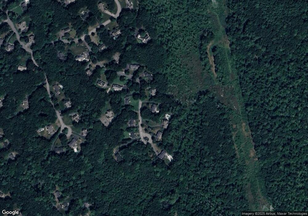
Map
Nearby Homes
- Lot 10 Stonecleave Rd
- 114 Stonecleave Rd
- 10 Woodchuck Ln
- 851 Forest St
- 590 Foster St
- 50 Stonecleave Rd
- 660 Sharpners Pond Rd
- 53 Lawrence Rd
- 480 Sharpners Pond Rd
- Lot 2 (31) Lawrence Rd
- 7 Sullivan St
- 12 Farnum St
- 45 Thistle Rd
- 121 Cortland Dr
- 75 Thistle Rd
- 55 Sheffield Rd
- 141 Cortland Dr Unit 141
- 141 Cortland Dr
- 39 Sheffield Rd
- 495 Johnson St
- 84 Sugarcane Ln
- 64 Sugarcane Ln
- 65 Sugarcane Ln
- 87 Sugarcane Ln
- 96 Sugarcane Ln
- 93 Sugarcane Ln
- 465 Sugargate Ct
- 56 Sugarcane Ln
- 45 Sugarcane Ln
- 77 Sugarcane Ln
- 40 Sugarcane Ln
- 102 Sugarcane Ln
- 30 Sugarcane Ln
- 31 Sugarcane Ln
- 99 Sugarcane Ln
- 99 Sugarcane Ln Unit 1
- 240 Candlestick Rd
- 66 Sunset Rock Rd
- 17 Sugarcane Ln
- 60 Sunset Rock Rd