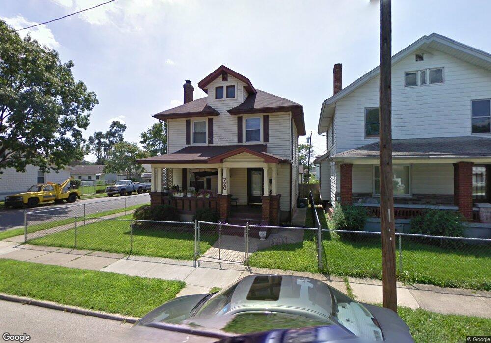
720 10th Ave Middletown, OH 45044
South Middletown NeighborhoodEstimated Value: $150,874 - $173,000
About This Home
This home is located at 720 10th Ave, Middletown, OH 45044 and is currently estimated at $165,969, approximately $107 per square foot. 720 10th Ave is a home located in Butler County with nearby schools including Rosa Parks Elementary School, Highview 6th Grade Center, and Middletown Middle School.
Ownership History
We collect this data history from publicly available records. To have your information removed, we recommend requesting removal directly through your county’s website.
Purchase Details
Purchase Details
Purchase Details
Purchase Details
Purchase Details
Home Financials for this Owner
Home Financials are based on the most recent Mortgage that was taken out on this home.Home Values in the Area
Average Home Value in this Area
Purchase History
We collect this data history from publicly available records. To have your information removed, we recommend requesting removal directly through your county’s website.
| Date | Buyer | Sale Price | Title Company |
|---|---|---|---|
| $120,000 | None Listed On Document | ||
| -- | None Available | ||
| -- | American Homeland Title Agen | ||
| -- | -- | ||
| $92,597 | -- |
Mortgage History
We collect this data history from publicly available records. To have your information removed, we recommend requesting removal directly through your county’s website.
| Date | Status | Borrower | Loan Amount |
|---|---|---|---|
| Previous Owner | $92,597 |
Tax History
We collect this data history from publicly available records. To have your information removed, we recommend requesting removal directly through your county’s website.
| Year | Tax Paid | Tax Assessment Tax Assessment Total Assessment is a certain percentage of the fair market value that is determined by local assessors to be the total taxable value of land and additions on the property. | Land | Improvement |
|---|---|---|---|---|
| 2025 | $1,434 | $31,850 | $2,690 | $29,160 |
| 2024 | $1,434 | $31,850 | $2,690 | $29,160 |
| 2023 | $1,271 | $31,850 | $2,690 | $29,160 |
| 2022 | $614 | $17,500 | $2,690 | $14,810 |
| 2021 | $595 | $17,500 | $2,690 | $14,810 |
| 2020 | $615 | $17,500 | $2,690 | $14,810 |
| 2019 | $1,268 | $17,500 | $2,510 | $14,990 |
| 2018 | $658 | $17,500 | $2,510 | $14,990 |
| 2017 | $659 | $17,500 | $2,510 | $14,990 |
| 2016 | $684 | $17,500 | $2,510 | $14,990 |
| 2015 | $572 | $17,500 | $2,510 | $14,990 |
| 2014 | $629 | $20,650 | $2,960 | $17,690 |
| 2013 | $629 | $17,500 | $2,960 | $14,540 |
Map
- 917 Delaware Ave
- 933 8th Ave
- 823 6th Ave
- 921 14th Ave
- 716 15th Ave
- 704 17th Ave
- 802 17th Ave
- 828 17th Ave
- 705 18th Ave
- 1119 Kunz Ave
- 307 Curtis St
- 2759 Forest Haven Dr
- 2753 Forest Haven Dr Unit 46
- 2841 Forest Haven Dr
- 2839 Forest Haven Dr Unit 3
- 2841 Forest Haven Dr Unit 2
- 2761 Forest Haven Dr
- 2761 Forest Haven Dr Unit 42
- 2839 Forest Haven Dr
- 2753 Forest Haven Dr
Ask me questions while you tour the home.