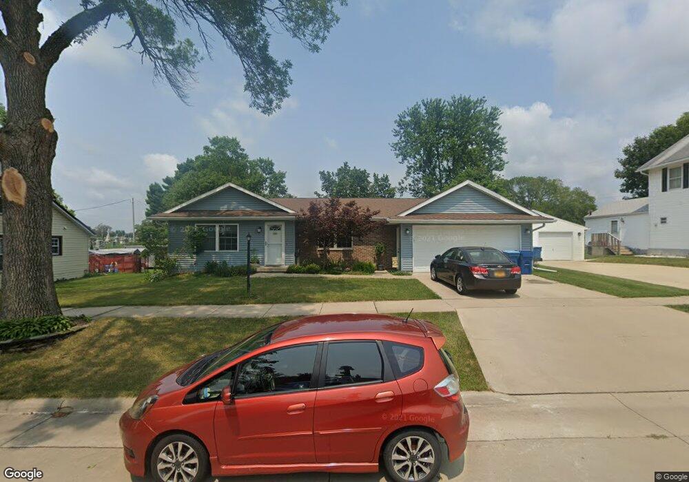
720 12th St de Witt, IA 52742
Estimated Value: $221,000 - $238,640
2
Beds
2
Baths
1,040
Sq Ft
$222/Sq Ft
Est. Value
About This Home
This home is located at 720 12th St, de Witt, IA 52742 and is currently estimated at $230,910, approximately $222 per square foot. 720 12th St is a home located in Clinton County with nearby schools including Ekstrand Elementary School, Central Dewitt Intermediate School, and Central Dewitt Middle School.
Ownership History
Date
Name
Owned For
Owner Type
Purchase Details
Closed on
Oct 18, 2016
Sold by
Soenksen Aaron E and Soenksen Shannon L
Bought by
Schmidt Ronald P and Schmidt Jennifer R
Current Estimated Value
Purchase Details
Closed on
Jan 8, 2016
Sold by
Blough Melissa Ann
Bought by
Soenksen Aaron
Purchase Details
Closed on
Feb 15, 2009
Sold by
Estate Of Maxine L Knight
Bought by
Soenksen Aaron E and Meyer Shannon L
Create a Home Valuation Report for This Property
The Home Valuation Report is an in-depth analysis detailing your home's value as well as a comparison with similar homes in the area
Home Values in the Area
Average Home Value in this Area
Purchase History
| Date | Buyer | Sale Price | Title Company |
|---|---|---|---|
| Schmidt Ronald P | $158,000 | Attorney | |
| Soenksen Aaron | $69,962 | None Available | |
| Soenksen Aaron E | $85,000 | None Available |
Source: Public Records
Mortgage History
| Date | Status | Borrower | Loan Amount |
|---|---|---|---|
| Closed | Soenksen Aaron E | $0 |
Source: Public Records
Tax History
| Year | Tax Paid | Tax Assessment Tax Assessment Total Assessment is a certain percentage of the fair market value that is determined by local assessors to be the total taxable value of land and additions on the property. | Land | Improvement |
|---|---|---|---|---|
| 2025 | $3,854 | $223,220 | $24,260 | $198,960 |
| 2024 | $3,854 | $209,480 | $24,260 | $185,220 |
| 2023 | $3,538 | $209,480 | $24,260 | $185,220 |
| 2022 | $2,994 | $185,260 | $24,260 | $161,000 |
| 2021 | $2,920 | $147,480 | $25,870 | $121,610 |
| 2019 | $2,806 | $0 | $0 | $0 |
| 2018 | $2,740 | $0 | $0 | $0 |
| 2017 | $2,392 | $0 | $0 | $0 |
| 2016 | $2,290 | $0 | $0 | $0 |
| 2015 | $2,290 | $118,600 | $0 | $0 |
| 2014 | $2,318 | $118,600 | $0 | $0 |
| 2013 | $2,278 | $0 | $0 | $0 |
Source: Public Records
Map
Nearby Homes
- 627 12th St
- 401 10th St
- 1104 15th St
- 285th St Old Hwy 61
- 308 8th St
- 1037 Brookview Dr
- 00 Maynard Way
- 102 8th St
- 1144 Brookview Dr
- 1545 Silver Valley Dr
- 00 3rd St
- 1527 11th St
- 510 2nd St
- 1710 Mackin Dr
- 119 14th Ave
- 2307 18th Ave
- 615 S 6th Ave
- 302 Silver Creek Rd
- 0 285th Ave Old Hwy 61 Unit 2601452
- 0 285th Ave Old Hwy 61 Unit 2601448
Your Personal Tour Guide
Ask me questions while you tour the home.