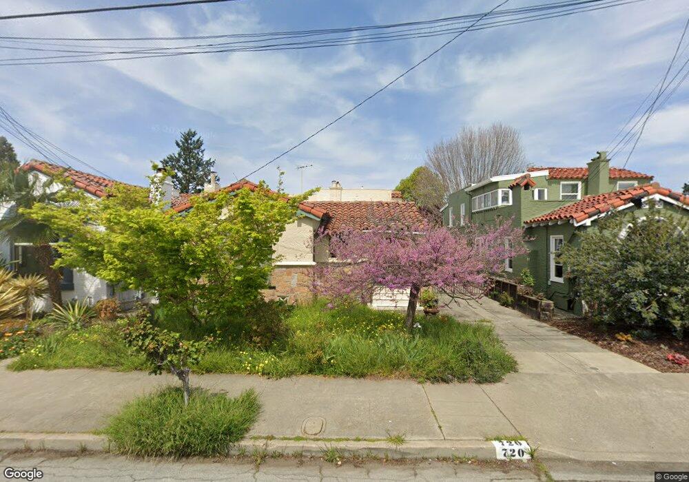
720 Bridge Rd San Leandro, CA 94577
Estudillo Estates-Glen NeighborhoodEstimated Value: $1,073,300 - $1,202,000
3
Beds
2
Baths
2,053
Sq Ft
$560/Sq Ft
Est. Value
About This Home
This home is located at 720 Bridge Rd, San Leandro, CA 94577 and is currently estimated at $1,150,575, approximately $560 per square foot. 720 Bridge Rd is a home located in Alameda County with nearby schools including Roosevelt Elementary School, Bancroft Middle School, and San Leandro High School.
Ownership History
Date
Name
Owned For
Owner Type
Purchase Details
Closed on
Jun 10, 2008
Sold by
Strem Clifford and Strem Margaret
Bought by
Strem C Clifford and Strem Margaret L
Current Estimated Value
Purchase Details
Closed on
Jan 8, 1999
Sold by
Mcfarlane William L and Mcfarlane Gretchen S
Bought by
Strem Clifford and Strem Margaret
Home Financials for this Owner
Home Financials are based on the most recent Mortgage that was taken out on this home.
Original Mortgage
$150,000
Outstanding Balance
$34,492
Interest Rate
6.66%
Estimated Equity
$1,116,083
Create a Home Valuation Report for This Property
The Home Valuation Report is an in-depth analysis detailing your home's value as well as a comparison with similar homes in the area
Home Values in the Area
Average Home Value in this Area
Purchase History
| Date | Buyer | Sale Price | Title Company |
|---|---|---|---|
| Strem C Clifford | -- | None Available | |
| Strem Clifford | $330,000 | First American Title Guarant |
Source: Public Records
Mortgage History
| Date | Status | Borrower | Loan Amount |
|---|---|---|---|
| Open | Strem Clifford | $150,000 |
Source: Public Records
Tax History
| Year | Tax Paid | Tax Assessment Tax Assessment Total Assessment is a certain percentage of the fair market value that is determined by local assessors to be the total taxable value of land and additions on the property. | Land | Improvement |
|---|---|---|---|---|
| 2025 | $2,203 | $107,791 | $85,670 | $29,121 |
| 2024 | $2,203 | $105,541 | $83,991 | $28,550 |
| 2023 | $2,137 | $110,335 | $82,344 | $27,991 |
| 2022 | $2,076 | $101,172 | $80,730 | $27,442 |
| 2021 | $1,976 | $99,051 | $79,147 | $26,904 |
| 2020 | $1,892 | $104,964 | $78,336 | $26,628 |
| 2019 | $1,844 | $102,906 | $76,800 | $26,106 |
| 2018 | $1,770 | $100,888 | $75,294 | $25,594 |
| 2017 | $1,766 | $98,910 | $73,818 | $25,092 |
| 2016 | $1,684 | $96,971 | $72,371 | $24,600 |
| 2015 | $1,653 | $95,515 | $71,284 | $24,231 |
| 2014 | $1,633 | $93,644 | $69,888 | $23,756 |
Source: Public Records
Map
Nearby Homes
- 1053 San Jose St
- 1550 Bancroft Ave Unit 112
- 499 Estudillo Ave Unit 309
- 970 Joaquin Ave Unit U7
- 976 Collier Dr
- 483 Joaquin Ave
- 576 Begier Ave
- 1468 Grand Ave Unit 5
- 1468 Grand Ave Unit 21
- 845 Woodland Ave
- 348 Maud Ave
- 275 Haas Ave
- 0 Revere Ave Unit 41116016
- 890 Linwood Way
- 456 Lewis Ave
- 464 Kenilworth Ave
- 65 Thornton St
- 1449 Sandelin Ave
- 653 Macarthur Blvd
- 1599 Hays St Unit 306
Your Personal Tour Guide
Ask me questions while you tour the home.