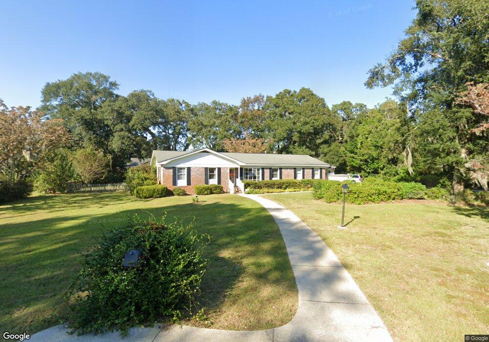
720 Bruce St Charleston, SC 29412
James Island NeighborhoodEstimated Value: $629,000 - $819,000
3
Beds
2
Baths
2,577
Sq Ft
$284/Sq Ft
Est. Value
About This Home
This home is located at 720 Bruce St, Charleston, SC 29412 and is currently estimated at $730,759, approximately $283 per square foot. 720 Bruce St is a home located in Charleston County with nearby schools including Stiles Point Elementary School, Camp Road Middle, and James Island Charter High School.
Ownership History
Date
Name
Owned For
Owner Type
Purchase Details
Closed on
Feb 3, 2022
Sold by
Bostick Ferguson Sheri
Bought by
Ferguson Roy Arnold
Current Estimated Value
Purchase Details
Closed on
Mar 29, 2007
Sold by
Adams Calvin F
Bought by
Ferguson Roy A and Ferguson Sheri B
Purchase Details
Closed on
Jan 22, 2007
Sold by
Ferguson Brian L
Bought by
Ferguson Roy A and Adams Calvin F
Purchase Details
Closed on
Jan 30, 2002
Sold by
Adams Calvin F
Bought by
Ferguson Roy A and Ferguson Brian L
Create a Home Valuation Report for This Property
The Home Valuation Report is an in-depth analysis detailing your home's value as well as a comparison with similar homes in the area
Home Values in the Area
Average Home Value in this Area
Purchase History
| Date | Buyer | Sale Price | Title Company |
|---|---|---|---|
| Ferguson Roy Arnold | -- | None Listed On Document | |
| Ferguson Roy A | -- | Attorney | |
| Ferguson Roy A | -- | None Available | |
| Ferguson Roy A | -- | -- |
Source: Public Records
Tax History
| Year | Tax Paid | Tax Assessment Tax Assessment Total Assessment is a certain percentage of the fair market value that is determined by local assessors to be the total taxable value of land and additions on the property. | Land | Improvement |
|---|---|---|---|---|
| 2024 | $2,130 | $14,840 | $0 | $0 |
| 2023 | $1,772 | $14,840 | $0 | $0 |
| 2022 | $1,614 | $14,840 | $0 | $0 |
| 2021 | $1,729 | $14,840 | $0 | $0 |
| 2020 | $1,748 | $14,840 | $0 | $0 |
| 2019 | $1,596 | $12,910 | $0 | $0 |
| 2017 | $1,696 | $12,910 | $0 | $0 |
| 2016 | $1,625 | $12,910 | $0 | $0 |
| 2015 | $1,690 | $12,910 | $0 | $0 |
| 2014 | $1,477 | $0 | $0 | $0 |
| 2011 | -- | $0 | $0 | $0 |
Source: Public Records
Map
Nearby Homes
- 734 Waterloo St
- 902 Mikell Dr
- 672 Ayers Dr
- 725 Stiles Dr
- 621 Fort Johnson Rd
- 939 Mikell Dr
- 746 Tallwood Rd
- 673 Edmonds Dr
- 764 Whispering Marsh Dr
- 783 Fort Johnson Rd
- 758 Larkwood Rd
- 698 Whispering Marsh Dr
- 969 Harbor View Rd
- 706 Sterling Dr
- 975 Harbor View Rd
- 857 Piccadilly Cir
- 1014 Benton Bend Rd
- 957 Regatta Rd
- 544 Fort Johnson Rd
- 913 Paul Revere Dr
Your Personal Tour Guide
Ask me questions while you tour the home.