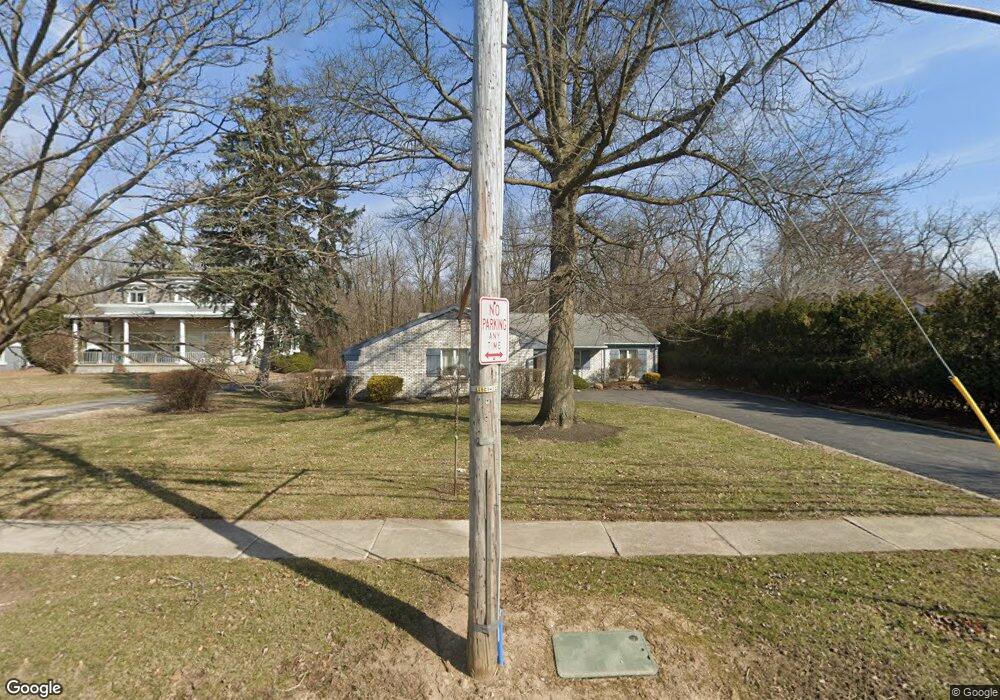
720 E Sandusky St Findlay, OH 45840
Estimated Value: $212,000 - $240,000
3
Beds
4
Baths
2,042
Sq Ft
$111/Sq Ft
Est. Value
About This Home
This home is located at 720 E Sandusky St, Findlay, OH 45840 and is currently estimated at $225,682, approximately $110 per square foot. 720 E Sandusky St is a home located in Hancock County with nearby schools including Whittier Elementary School, Wilson Vance Elementary School, and Donnell Middle School.
Ownership History
Date
Name
Owned For
Owner Type
Purchase Details
Closed on
Aug 25, 2003
Sold by
Foust E Marie
Bought by
Foust E Marie and E Marie Foust Revocable Trust
Current Estimated Value
Purchase Details
Closed on
May 25, 1993
Bought by
Foust Marie
Purchase Details
Closed on
May 31, 1991
Bought by
Foust Corey Todd and Foust Charles
Purchase Details
Closed on
Nov 30, 1982
Bought by
Foust Charles R
Create a Home Valuation Report for This Property
The Home Valuation Report is an in-depth analysis detailing your home's value as well as a comparison with similar homes in the area
Home Values in the Area
Average Home Value in this Area
Purchase History
| Date | Buyer | Sale Price | Title Company |
|---|---|---|---|
| Foust E Marie | -- | -- | |
| Foust Marie | $90,000 | -- | |
| Foust Corey Todd | -- | -- | |
| Foust Charles R | -- | -- |
Source: Public Records
Tax History Compared to Growth
Tax History
| Year | Tax Paid | Tax Assessment Tax Assessment Total Assessment is a certain percentage of the fair market value that is determined by local assessors to be the total taxable value of land and additions on the property. | Land | Improvement |
|---|---|---|---|---|
| 2024 | $1,605 | $54,970 | $6,700 | $48,270 |
| 2023 | $1,629 | $54,970 | $6,700 | $48,270 |
| 2022 | $1,639 | $54,970 | $6,700 | $48,270 |
| 2021 | $1,561 | $47,050 | $6,700 | $40,350 |
| 2020 | $1,559 | $47,050 | $6,700 | $40,350 |
| 2019 | $1,527 | $47,050 | $6,700 | $40,350 |
| 2018 | $1,398 | $40,920 | $5,830 | $35,090 |
| 2017 | $699 | $40,920 | $5,830 | $35,090 |
| 2016 | $1,387 | $40,920 | $5,830 | $35,090 |
| 2015 | $1,505 | $43,180 | $6,980 | $36,200 |
| 2014 | $1,506 | $43,180 | $6,980 | $36,200 |
| 2012 | $1,528 | $43,390 | $6,980 | $36,410 |
Source: Public Records
Map
Nearby Homes
- 615 E Sandusky St
- 15591 Canadian Way
- 15586 Canadian Way
- 15615 Canadian Way
- 1001 Decker Ave
- 900 Morse St
- 309 Huron Rd
- 523 Center St
- 829 Maple Ave
- 1109 Brookside Dr
- 1037 Fishlock Ave
- 420 H St
- 439 Carnahan Ave
- 213 Cherry St
- 1464 Misty Oaks Dr
- 1008 Eastview Dr
- 320 W Lima St
- 514 Liberty St
- 0 Blanchard Ave
- 407 Washington St
- 714 E Sandusky St
- 730 E Sandusky St
- 712 E Sandusky St
- 723 E Sandusky St
- 717 E Sandusky St
- 727 E Sandusky St
- 711 E Sandusky St
- 636 E Sandusky St
- 731 E Sandusky St
- 707 E Sandusky St
- 632 E Sandusky St
- 701 E Sandusky St
- 628 E Sandusky St
- 515 Morse St
- 745 E Sandusky St
- 720 South St
- 716 South St
- 724 South St
- 631 E Sandusky St
- 730 South St
