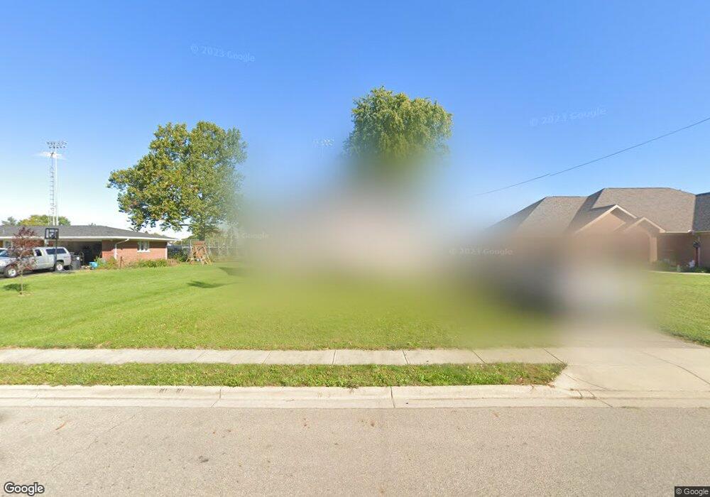
720 E Walnut St Covington, OH 45318
Estimated Value: $182,160 - $249,000
Studio
--
Bath
--
Sq Ft
2,178
Sq Ft Lot
About This Home
This home is located at 720 E Walnut St, Covington, OH 45318 and is currently estimated at $216,790. 720 E Walnut St is a home located in Miami County with nearby schools including Covington Elementary/Junior High School, Covington Junior High School, and Covington High School.
Ownership History
Date
Name
Owned For
Owner Type
Purchase Details
Closed on
Feb 1, 2012
Sold by
Rudy Karen Ruth
Bought by
Powell Mareda Mae and Nash Donald C
Current Estimated Value
Home Financials for this Owner
Home Financials are based on the most recent Mortgage that was taken out on this home.
Original Mortgage
$27,350
Outstanding Balance
$18,335
Interest Rate
3.9%
Mortgage Type
New Conventional
Estimated Equity
$198,455
Purchase Details
Closed on
Jan 12, 2012
Sold by
Rudy Glen Eldon and Rudy Glen E
Bought by
Rudy Karen Ruth
Home Financials for this Owner
Home Financials are based on the most recent Mortgage that was taken out on this home.
Original Mortgage
$27,350
Outstanding Balance
$18,335
Interest Rate
3.9%
Mortgage Type
New Conventional
Estimated Equity
$198,455
Purchase Details
Closed on
Mar 1, 1983
Bought by
Rudy Jeanne
Create a Home Valuation Report for This Property
The Home Valuation Report is an in-depth analysis detailing your home's value as well as a comparison with similar homes in the area
Home Values in the Area
Average Home Value in this Area
Purchase History
| Date | Buyer | Sale Price | Title Company |
|---|---|---|---|
| Powell Mareda Mae | $20,250 | -- | |
| Rudy Karen Ruth | -- | -- | |
| Rudy Jeanne | -- | -- |
Source: Public Records
Mortgage History
| Date | Status | Borrower | Loan Amount |
|---|---|---|---|
| Open | Rudy Karen Ruth | $27,350 |
Source: Public Records
Tax History
| Year | Tax Paid | Tax Assessment Tax Assessment Total Assessment is a certain percentage of the fair market value that is determined by local assessors to be the total taxable value of land and additions on the property. | Land | Improvement |
|---|---|---|---|---|
| 2025 | $22 | $670 | $670 | $0 |
| 2024 | $22 | $700 | $700 | $0 |
| 2023 | $27 | $700 | $700 | $0 |
| 2022 | $27 | $700 | $700 | $0 |
| 2021 | $22 | $530 | $530 | $0 |
| 2020 | $22 | $530 | $530 | $0 |
| 2019 | $22 | $530 | $530 | $0 |
| 2018 | $23 | $560 | $560 | $0 |
| 2017 | $24 | $560 | $560 | $0 |
| 2016 | $23 | $560 | $560 | $0 |
| 2015 | $22 | $530 | $530 | $0 |
| 2014 | $21 | $530 | $530 | $0 |
| 2013 | $21 | $530 | $530 | $0 |
Source: Public Records
Map
Nearby Homes
- 720 E Walnut St
- 720 E Walnut St
- 720 E Walnut St
- 728 E Walnut St
- 714 E Walnut St
- 730 E Walnut St
- 725 E Walnut St
- 721 E Walnut St
- 729 E Walnut St
- 732 E Walnut St
- 717 E Walnut St
- 734 E Walnut St
- 711 E Walnut St
- 722 E Spring St
- 702 E Walnut St
- 730 E Spring St
- 716 E Spring St
- 701 E Walnut St
- 704 E Spring St
- 732 E Spring St
Your Personal Tour Guide
Ask me questions while you tour the home.