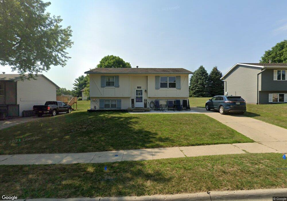
720 Mockingbird Dr Carroll, IA 51401
Estimated Value: $172,386 - $218,000
4
Beds
2
Baths
858
Sq Ft
$229/Sq Ft
Est. Value
About This Home
This home is located at 720 Mockingbird Dr, Carroll, IA 51401 and is currently estimated at $196,597, approximately $229 per square foot. 720 Mockingbird Dr is a home located in Carroll County with nearby schools including Fairview Elementary School, Adams Elementary School, and Carroll Middle School.
Ownership History
Date
Name
Owned For
Owner Type
Purchase Details
Closed on
Aug 23, 2007
Sold by
Sheehan Kathleen A and Cuddy Mark F
Bought by
Tryon Tyler J and Kammin Tryon Christine R
Current Estimated Value
Home Financials for this Owner
Home Financials are based on the most recent Mortgage that was taken out on this home.
Original Mortgage
$77,600
Outstanding Balance
$49,458
Interest Rate
6.79%
Mortgage Type
FHA
Estimated Equity
$147,139
Create a Home Valuation Report for This Property
The Home Valuation Report is an in-depth analysis detailing your home's value as well as a comparison with similar homes in the area
Home Values in the Area
Average Home Value in this Area
Purchase History
| Date | Buyer | Sale Price | Title Company |
|---|---|---|---|
| Tryon Tyler J | $82,500 | Security Title & Investment |
Source: Public Records
Mortgage History
| Date | Status | Borrower | Loan Amount |
|---|---|---|---|
| Open | Tryon Tyler J | $77,600 |
Source: Public Records
Tax History Compared to Growth
Tax History
| Year | Tax Paid | Tax Assessment Tax Assessment Total Assessment is a certain percentage of the fair market value that is determined by local assessors to be the total taxable value of land and additions on the property. | Land | Improvement |
|---|---|---|---|---|
| 2025 | $2,200 | $190,350 | $20,730 | $169,620 |
| 2024 | $2,156 | $167,770 | $20,730 | $147,040 |
| 2023 | $2,063 | $167,770 | $20,730 | $147,040 |
| 2022 | $1,586 | $134,850 | $17,770 | $117,080 |
| 2021 | $1,586 | $109,420 | $17,770 | $91,650 |
| 2020 | $1,628 | $109,420 | $17,770 | $91,650 |
| 2019 | $1,620 | $109,420 | $17,770 | $91,650 |
| 2018 | $1,526 | $109,420 | $17,770 | $91,650 |
| 2017 | $1,526 | $106,519 | $15,847 | $90,672 |
| 2016 | $1,426 | $99,550 | $0 | $0 |
| 2015 | $1,426 | $89,970 | $0 | $0 |
| 2014 | $1,272 | $89,970 | $0 | $0 |
Source: Public Records
Map
Nearby Homes
- 638 Capistrano Ave
- 1546 Olive St
- 746 Granada Rd
- 641 Alta Vista Dr
- 718 Alta Vista Dr
- 621 Alta Vista Dr
- 1550 Edgewood Dr
- 260 Bass St
- 265 Perch St
- 1137 High Ridge Rd
- 1068 Amy Ave
- 1059 Amy Ave
- 1102 Skyline Dr
- 1515 N Main St
- 1601 N Main St
- 1026 N Clark St
- 1320 N Adams St
- 1108 N Main St
- 1399 E 11th St
- 1401 E 11th St
- 724 Mockingbird Dr
- 725 Mockingbird Dr
- 716 Mockingbird Dr
- 732 Mockingbird Dr
- 711 Mockingbird Dr
- 731 Mockingbird Dr
- 712 Mockingbird Dr
- 737 Mockingbird Dr
- 738 Mockingbird Dr
- 703 Mockingbird Dr
- 724 Corey Dr
- 719 Capistrano Ave
- 727 Capistrano Ave
- 713 Capistrano Ave
- 736 Corey Dr
- 803 Mockingbird Dr
- 804 Mockingbird Dr
- 718 Corey Dr
- 636 Mockingbird Dr
- 742 Corey Dr