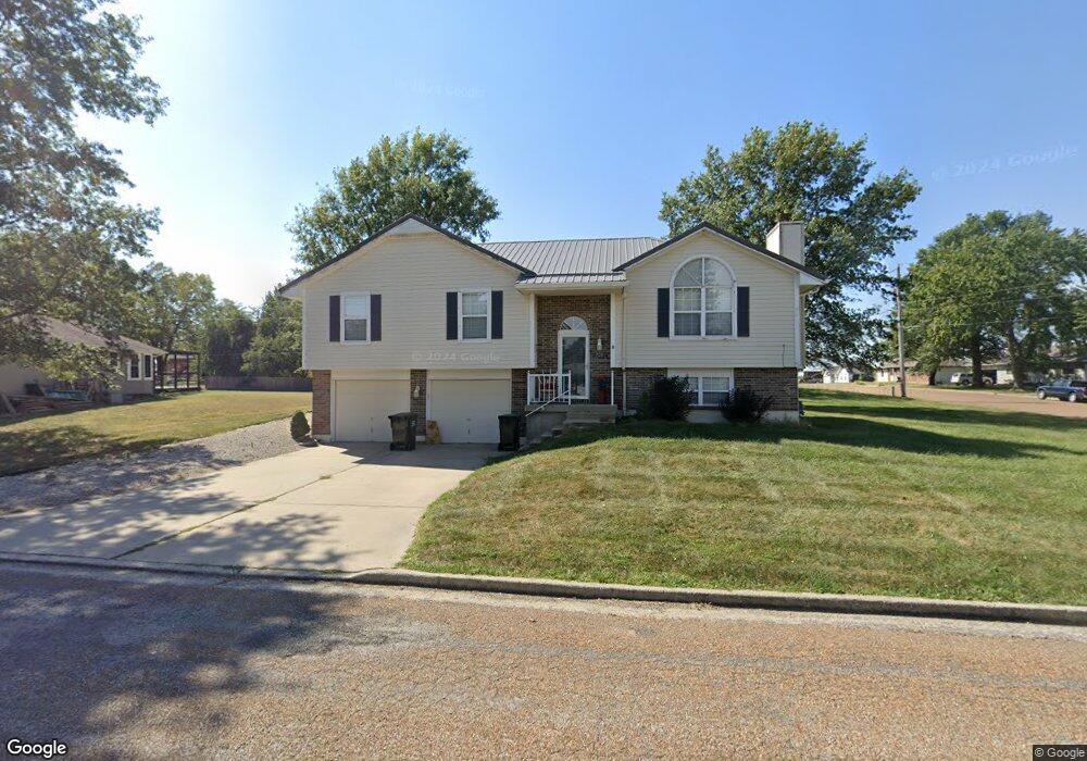
720 N Cedar St Concordia, MO 64020
Estimated Value: $183,000 - $283,000
About This Home
This home is located at 720 N Cedar St, Concordia, MO 64020 and is currently estimated at $241,425, approximately $187 per square foot. 720 N Cedar St is a home located in Lafayette County with nearby schools including Concordia Elementary School, Concordia High School, and St. Paul's Lutheran School.
Ownership History
We collect this data history from publicly available records. To have your information removed, we recommend requesting removal directly through your county’s website.
Purchase Details
Purchase Details
Home Financials for this Owner
Home Financials are based on the most recent Mortgage that was taken out on this home.Purchase History
We collect this data history from publicly available records. To have your information removed, we recommend requesting removal directly through your county’s website.
| Date | Buyer | Sale Price | Title Company |
|---|---|---|---|
| -- | Misc Company | ||
| -- | Misc Company | ||
| -- | Lafayette County Title | ||
| -- | Lafayette County Title |
Mortgage History
We collect this data history from publicly available records. To have your information removed, we recommend requesting removal directly through your county’s website.
| Date | Status | Borrower | Loan Amount |
|---|---|---|---|
| Previous Owner | $154,646 |
Tax History
We collect this data history from publicly available records. To have your information removed, we recommend requesting removal directly through your county’s website.
| Year | Tax Paid | Tax Assessment Tax Assessment Total Assessment is a certain percentage of the fair market value that is determined by local assessors to be the total taxable value of land and additions on the property. | Land | Improvement |
|---|---|---|---|---|
| 2025 | $2,033 | $28,082 | $0 | $0 |
| 2024 | $18 | $24,633 | $0 | $0 |
| 2023 | $1,784 | $24,633 | $0 | $0 |
| 2022 | $1,767 | $24,633 | $0 | $0 |
| 2021 | $1,673 | $24,633 | $0 | $0 |
| 2020 | $1,673 | $24,520 | $0 | $0 |
| 2019 | $1,541 | $24,520 | $0 | $0 |
| 2018 | $1,435 | $24,520 | $0 | $0 |
| 2017 | $1,435 | $24,520 | $0 | $0 |
| 2016 | $1,179 | $102,780 | $11,930 | $90,850 |
| 2012 | -- | $105,930 | $11,930 | $94,000 |
Map
- 407 S West St
- 407 S Bismark St
- 507 S West St
- 507 S Bismark St
- 701 S Frederick St
- 602 SW 7th Terrace
- 503 S Orange St
- 511 SW 7th St
- 604 SW 8th St
- 513 S Travis St
- 304 SE 10th Street Terrace
- 1015 S Saint Louis St
- 0 County Road Vv
- 214 S Elm
- 114 Oak St
- 696 Highway Cc Rd
- 23257 Locust St
- 12189 119th Rd
- 111 W Clara Ave
- 113 E Marshall St
Ask me questions while you tour the home.