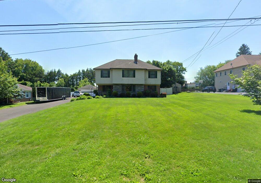
720 Pecan Dr Philadelphia, PA 19115
Bustleton NeighborhoodEstimated Value: $551,601 - $699,000
--
Bed
--
Bath
2,806
Sq Ft
$213/Sq Ft
Est. Value
About This Home
This home is located at 720 Pecan Dr, Philadelphia, PA 19115 and is currently estimated at $596,400, approximately $212 per square foot. 720 Pecan Dr is a home located in Philadelphia County with nearby schools including Greenberg Joseph School, George Washington High School, and Maternity Bvm School.
Ownership History
Date
Name
Owned For
Owner Type
Purchase Details
Closed on
Jan 25, 2002
Sold by
Eisenhart Marie J
Bought by
Barnes John D and Barnes Jennifer R
Current Estimated Value
Home Financials for this Owner
Home Financials are based on the most recent Mortgage that was taken out on this home.
Original Mortgage
$161,500
Outstanding Balance
$67,203
Interest Rate
7.15%
Estimated Equity
$529,197
Purchase Details
Closed on
Sep 24, 1999
Sold by
Eisenhart Frank J and Will Of Anne M Ulmer
Bought by
Eisenhart Marie J
Create a Home Valuation Report for This Property
The Home Valuation Report is an in-depth analysis detailing your home's value as well as a comparison with similar homes in the area
Home Values in the Area
Average Home Value in this Area
Purchase History
| Date | Buyer | Sale Price | Title Company |
|---|---|---|---|
| Barnes John D | $170,000 | Lawyers Title Insurance Corp | |
| Eisenhart Marie J | -- | -- |
Source: Public Records
Mortgage History
| Date | Status | Borrower | Loan Amount |
|---|---|---|---|
| Open | Barnes John D | $161,500 |
Source: Public Records
Tax History Compared to Growth
Tax History
| Year | Tax Paid | Tax Assessment Tax Assessment Total Assessment is a certain percentage of the fair market value that is determined by local assessors to be the total taxable value of land and additions on the property. | Land | Improvement |
|---|---|---|---|---|
| 2025 | $5,808 | $480,800 | $96,160 | $384,640 |
| 2024 | $5,808 | $480,800 | $96,160 | $384,640 |
| 2023 | $5,808 | $414,900 | $82,980 | $331,920 |
| 2022 | $4,240 | $369,900 | $82,980 | $286,920 |
| 2021 | $4,870 | $0 | $0 | $0 |
| 2020 | $4,870 | $0 | $0 | $0 |
| 2019 | $4,663 | $0 | $0 | $0 |
| 2018 | $4,136 | $0 | $0 | $0 |
| 2017 | $4,136 | $0 | $0 | $0 |
| 2016 | $3,716 | $0 | $0 | $0 |
| 2015 | $3,558 | $0 | $0 | $0 |
| 2014 | -- | $295,500 | $111,566 | $183,934 |
| 2012 | -- | $39,104 | $9,973 | $29,131 |
Source: Public Records
Map
Nearby Homes
- 727 Sherrie Rd
- 1060 Welsh Rd
- 9124 Springview Rd
- 8905 Springview Rd
- 8912 Springview Rd
- 9812 Ferndale St
- 9810 Bridle Rd
- 637 Charette Rd
- 9231 Grace Ln
- 9825 Verree Rd
- 1012 Twist Rd
- 9346 Rising Sun Ave
- 134 Alburger Ave
- 9314 Trout Rd
- 1029 Grant Ave
- 123 Pocasset Rd
- 1020 Grant Ave
- 116 Delia Ln
- 132 Greycourt Rd
- 114 Almatt Place