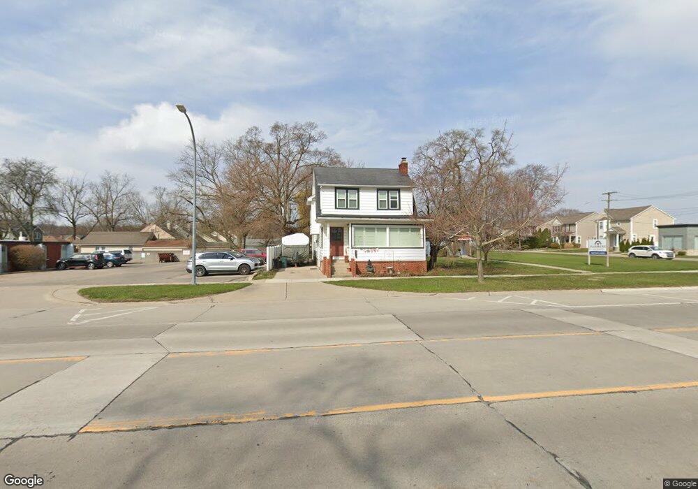
720 S Main St Clawson, MI 48017
Estimated Value: $292,867 - $345,000
3
Beds
2
Baths
1,794
Sq Ft
$179/Sq Ft
Est. Value
About This Home
This home is located at 720 S Main St, Clawson, MI 48017 and is currently estimated at $321,717, approximately $179 per square foot. 720 S Main St is a home located in Oakland County with nearby schools including Clawson Middle School, Clawson High School, and Guardian Angels School.
Ownership History
Date
Name
Owned For
Owner Type
Purchase Details
Closed on
Dec 11, 2007
Sold by
Mccatty John C and Mccatty Susan L
Bought by
Deutsche Bank National Trust Co and Ameriquest Mortgage Securities Inc Asset
Current Estimated Value
Purchase Details
Closed on
Jun 2, 2004
Sold by
Jeans Vernon M and Vernon M Jeans Jr Revocable Tr
Bought by
Mccatty John C and Mccatty Susan L
Create a Home Valuation Report for This Property
The Home Valuation Report is an in-depth analysis detailing your home's value as well as a comparison with similar homes in the area
Home Values in the Area
Average Home Value in this Area
Purchase History
| Date | Buyer | Sale Price | Title Company |
|---|---|---|---|
| Deutsche Bank National Trust Co | $203,732 | None Available | |
| Mccatty John C | $200,000 | Ati Title Agency |
Source: Public Records
Tax History
| Year | Tax Paid | Tax Assessment Tax Assessment Total Assessment is a certain percentage of the fair market value that is determined by local assessors to be the total taxable value of land and additions on the property. | Land | Improvement |
|---|---|---|---|---|
| 2025 | $2,517 | $126,730 | $0 | $0 |
| 2024 | $2,405 | $119,510 | $0 | $0 |
| 2023 | $2,306 | $109,180 | $0 | $0 |
| 2022 | $2,339 | $101,530 | $0 | $0 |
| 2021 | $2,291 | $97,190 | $0 | $0 |
| 2020 | $2,206 | $91,270 | $0 | $0 |
| 2019 | $2,279 | $89,470 | $0 | $0 |
| 2018 | $2,263 | $68,040 | $0 | $0 |
| 2017 | $2,250 | $64,910 | $0 | $0 |
| 2016 | $2,285 | $59,740 | $0 | $0 |
| 2015 | -- | $54,590 | $0 | $0 |
| 2014 | -- | $47,920 | $0 | $0 |
| 2011 | -- | $43,390 | $0 | $0 |
Source: Public Records
Map
Nearby Homes
- 125 Tecumseh St
- 45 E Tacoma St
- 421 W Sunnybrook Dr
- 135 Gerald Ave
- 602 Millard Ave
- 625 Whitcomb Ave
- 124 E Windemere Ave
- 206 E Windemere Ave
- 298 Broadacre Ave
- 3319 N Washington Ave
- 618 Mount Vernon Blvd
- 3538 Rochester Rd
- 917 Kenwood St
- 911 Kenwood St
- 909 Kenwood St
- 918 Kenwood St
- 140 E Lawrence Ave
- 615 W 13 Mile Rd
- 609 John M Ave
- 1101 Donald Ave
Your Personal Tour Guide
Ask me questions while you tour the home.