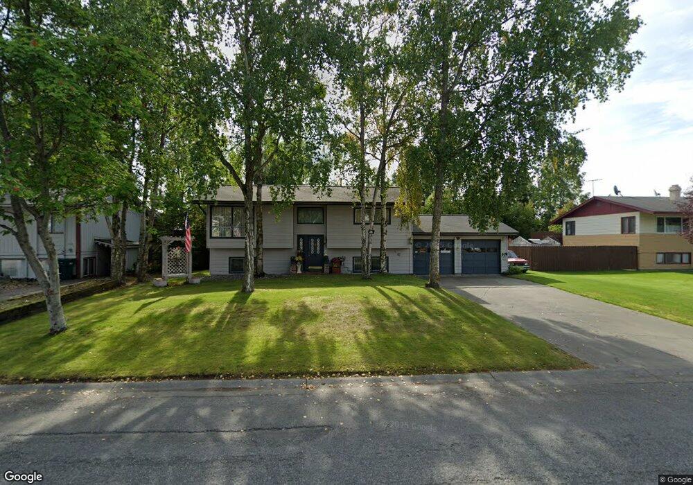
720 W 71st Ave Anchorage, AK 99518
Taku-Campbell NeighborhoodEstimated Value: $263,000 - $419,000
3
Beds
2
Baths
1,730
Sq Ft
$211/Sq Ft
Est. Value
About This Home
This home is located at 720 W 71st Ave, Anchorage, AK 99518 and is currently estimated at $365,589, approximately $211 per square foot. 720 W 71st Ave is a home located in Anchorage Municipality with nearby schools including Campbell Elementary School, Romig Middle School, and West High School.
Ownership History
Date
Name
Owned For
Owner Type
Purchase Details
Closed on
May 22, 2002
Sold by
Eibeck David and Eibeck Pilar
Bought by
Alleva James and Alleva Carol Sue
Current Estimated Value
Home Financials for this Owner
Home Financials are based on the most recent Mortgage that was taken out on this home.
Original Mortgage
$171,618
Outstanding Balance
$71,803
Interest Rate
6.94%
Mortgage Type
VA
Estimated Equity
$293,786
Create a Home Valuation Report for This Property
The Home Valuation Report is an in-depth analysis detailing your home's value as well as a comparison with similar homes in the area
Home Values in the Area
Average Home Value in this Area
Purchase History
| Date | Buyer | Sale Price | Title Company |
|---|---|---|---|
| Alleva James | -- | First American Title |
Source: Public Records
Mortgage History
| Date | Status | Borrower | Loan Amount |
|---|---|---|---|
| Open | Alleva James | $171,618 |
Source: Public Records
Tax History Compared to Growth
Tax History
| Year | Tax Paid | Tax Assessment Tax Assessment Total Assessment is a certain percentage of the fair market value that is determined by local assessors to be the total taxable value of land and additions on the property. | Land | Improvement |
|---|---|---|---|---|
| 2025 | $1,996 | $368,700 | $106,200 | $262,500 |
| 2024 | $1,996 | $348,600 | $106,200 | $242,400 |
| 2023 | $5,489 | $322,300 | $106,200 | $216,100 |
| 2022 | $2,066 | $322,700 | $106,200 | $216,500 |
| 2021 | $5,177 | $287,300 | $106,200 | $181,100 |
| 2020 | $1,337 | $279,800 | $106,200 | $173,600 |
| 2019 | $1,211 | $274,000 | $106,200 | $167,800 |
| 2018 | $1,166 | $271,100 | $106,200 | $164,900 |
| 2017 | $1,723 | $280,000 | $106,200 | $173,800 |
| 2016 | $1,199 | $277,300 | $105,600 | $171,700 |
| 2015 | $1,199 | $270,200 | $95,000 | $175,200 |
| 2014 | $1,199 | $285,200 | $95,000 | $190,200 |
Source: Public Records
Map
Nearby Homes
- 981 Oakridge Dr
- 638 W 74th Ave
- 639 W 75th Ave
- 7330 Huntsmen Cir Unit 13F
- 7232 Foxridge Cir Unit 9A
- 7222 Foxridge Cir Unit 14B
- 7242 Foxridge Cir Unit 10D
- 7311 Huntsmen Cir Unit 22F
- 7331 Huntsmen Cir Unit 20F
- 7510 Foxridge Way Unit 2A
- 400 W 76th Ave Unit 111
- 1025 W 77th Ave
- 1310 Heidi Cir
- 7520 Papa Cir
- 1121 W 77th Ave
- 7835 Highlander Dr
- 7740 Lars Cir
- 7955 Stanley Dr
- 8000 Summerset Dr
- 6243 Eula St