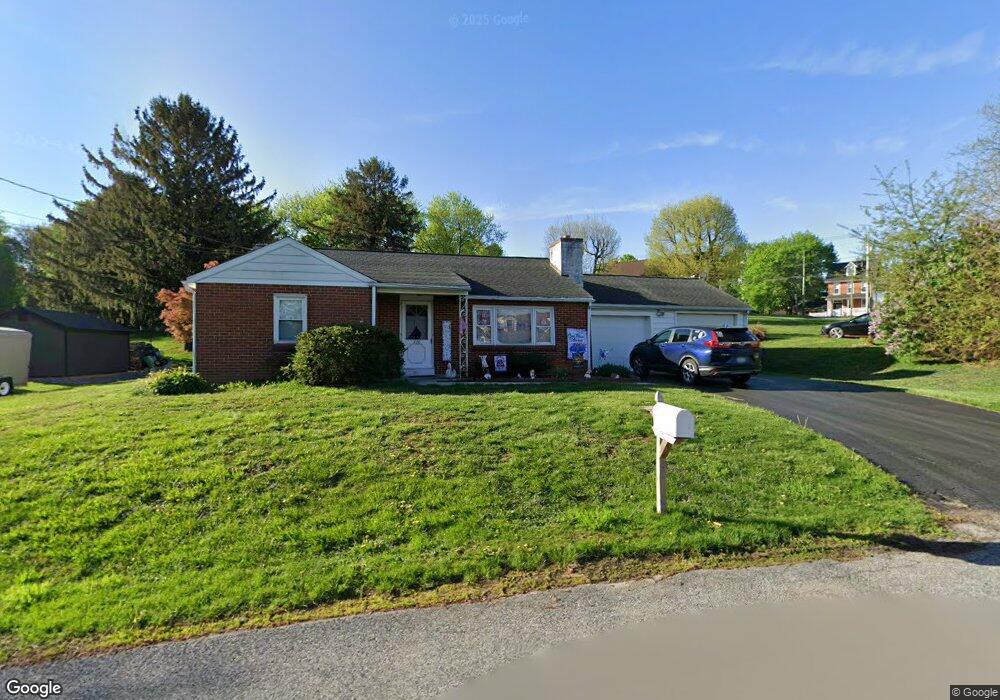
720 Wawassan Dr Honey Brook, PA 19344
Estimated Value: $362,224 - $399,000
3
Beds
1
Bath
1,156
Sq Ft
$327/Sq Ft
Est. Value
About This Home
This home is located at 720 Wawassan Dr, Honey Brook, PA 19344 and is currently estimated at $377,556, approximately $326 per square foot. 720 Wawassan Dr is a home located in Chester County with nearby schools including Honey Brook Elementary Center, Twin Valley Middle School, and Twin Valley High School.
Ownership History
Date
Name
Owned For
Owner Type
Purchase Details
Closed on
May 20, 2002
Sold by
Plank John H and Plank Lettie M
Bought by
Cleaver Daniel P and Cleaver Audrey M
Current Estimated Value
Home Financials for this Owner
Home Financials are based on the most recent Mortgage that was taken out on this home.
Original Mortgage
$152,793
Outstanding Balance
$64,836
Interest Rate
7%
Mortgage Type
FHA
Estimated Equity
$312,720
Create a Home Valuation Report for This Property
The Home Valuation Report is an in-depth analysis detailing your home's value as well as a comparison with similar homes in the area
Home Values in the Area
Average Home Value in this Area
Purchase History
| Date | Buyer | Sale Price | Title Company |
|---|---|---|---|
| Cleaver Daniel P | $154,000 | -- |
Source: Public Records
Mortgage History
| Date | Status | Borrower | Loan Amount |
|---|---|---|---|
| Open | Cleaver Daniel P | $152,793 |
Source: Public Records
Tax History Compared to Growth
Tax History
| Year | Tax Paid | Tax Assessment Tax Assessment Total Assessment is a certain percentage of the fair market value that is determined by local assessors to be the total taxable value of land and additions on the property. | Land | Improvement |
|---|---|---|---|---|
| 2025 | $4,277 | $104,460 | $30,500 | $73,960 |
| 2024 | $4,277 | $104,460 | $30,500 | $73,960 |
| 2023 | $4,186 | $104,460 | $30,500 | $73,960 |
| 2022 | $4,017 | $104,460 | $30,500 | $73,960 |
| 2021 | $3,883 | $104,460 | $30,500 | $73,960 |
| 2020 | $3,864 | $104,460 | $30,500 | $73,960 |
| 2019 | $3,739 | $104,460 | $30,500 | $73,960 |
| 2018 | $3,739 | $104,460 | $30,500 | $73,960 |
| 2017 | $3,632 | $104,460 | $30,500 | $73,960 |
| 2016 | $2,667 | $104,460 | $30,500 | $73,960 |
| 2015 | $2,667 | $104,460 | $30,500 | $73,960 |
| 2014 | $2,667 | $104,460 | $30,500 | $73,960 |
Source: Public Records
Map
Nearby Homes
- 0 Westbrook Dr
- 0 Westbrook Dr
- 0 Westbrook Dr
- 0 Westbrook Dr
- 407 Cahill Cir Unit 4
- 110 Petrelia Dr
- 650 Broad St
- 1022 Elwood St
- 607 Buchland Rd
- 14 Blue Spruce Dr
- 241 Dove Dr
- 112 Maxwell Hill Rd
- 339 Churchtown Rd
- 40 Cupola Rd
- 5892 Meadville Rd
- 109 Brylin Dr
- 2085 Main St
- 1250 Chestnut Tree Rd
- 490 Red Hill Rd
- 1 Senn Ln
- 700 Wawassan Dr
- 680 Wawassan Dr
- 4841 Horseshoe Pike
- 4831 Horseshoe Pike
- 741 Wawassan Dr
- 4851 Horseshoe Pike
- 671 Wawassan Dr
- 4830 Horseshoe Pike
- 4840 Horseshoe Pike
- 650 Wawassan Dr
- 4811 Horseshoe Pike
- 4801 Horseshoe Pike Unit 1ST FL
- 4801 Horseshoe Pike Unit 2ND FL
- 4801 Horseshoe Pike Unit 10
- 4801 Horseshoe Pike
- 4821 Horseshoe Pike
- 785 Wawassan Dr
- 4791 Horseshoe Pike Unit 20
- 4791 Horseshoe Pike Unit 22
- 640 Meadow Dr