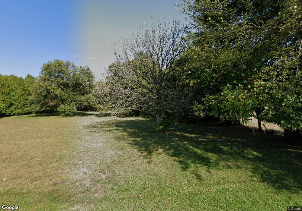
7200 Long Rd Canal Winchester, OH 43110
Abbie Trails NeighborhoodEstimated Value: $295,000 - $371,000
3
Beds
2
Baths
2,017
Sq Ft
$170/Sq Ft
Est. Value
About This Home
This home is located at 7200 Long Rd, Canal Winchester, OH 43110 and is currently estimated at $342,513, approximately $169 per square foot. 7200 Long Rd is a home located in Franklin County with nearby schools including Groveport Madison High School, A+ Arts Academy, and Brice Christian Academy Elementary School.
Ownership History
Date
Name
Owned For
Owner Type
Purchase Details
Closed on
Oct 29, 2004
Sold by
Poullas George A and Poullas Mary L
Bought by
Martin Robert W and Carey Tamara
Current Estimated Value
Home Financials for this Owner
Home Financials are based on the most recent Mortgage that was taken out on this home.
Original Mortgage
$144,800
Outstanding Balance
$69,063
Interest Rate
5.12%
Mortgage Type
Purchase Money Mortgage
Estimated Equity
$273,450
Purchase Details
Closed on
Dec 14, 1995
Sold by
Finks Martha E
Bought by
Poullas George A and Poullas Mary L
Home Financials for this Owner
Home Financials are based on the most recent Mortgage that was taken out on this home.
Original Mortgage
$96,000
Interest Rate
7.45%
Mortgage Type
New Conventional
Create a Home Valuation Report for This Property
The Home Valuation Report is an in-depth analysis detailing your home's value as well as a comparison with similar homes in the area
Home Values in the Area
Average Home Value in this Area
Purchase History
| Date | Buyer | Sale Price | Title Company |
|---|---|---|---|
| Martin Robert W | $181,000 | Ohio Land R | |
| Poullas George A | $120,000 | -- |
Source: Public Records
Mortgage History
| Date | Status | Borrower | Loan Amount |
|---|---|---|---|
| Open | Martin Robert W | $144,800 | |
| Closed | Poullas George A | $96,000 | |
| Closed | Martin Robert W | $36,200 |
Source: Public Records
Tax History Compared to Growth
Tax History
| Year | Tax Paid | Tax Assessment Tax Assessment Total Assessment is a certain percentage of the fair market value that is determined by local assessors to be the total taxable value of land and additions on the property. | Land | Improvement |
|---|---|---|---|---|
| 2024 | $3,848 | $90,550 | $25,760 | $64,790 |
| 2023 | $3,811 | $90,545 | $25,760 | $64,785 |
| 2022 | $3,366 | $66,470 | $25,760 | $40,710 |
| 2021 | $3,376 | $66,470 | $25,760 | $40,710 |
| 2020 | $3,382 | $66,470 | $25,760 | $40,710 |
| 2019 | $3,334 | $58,630 | $20,620 | $38,010 |
| 2018 | $3,573 | $58,630 | $20,620 | $38,010 |
| 2017 | $3,557 | $58,630 | $20,620 | $38,010 |
| 2016 | $3,749 | $59,750 | $15,190 | $44,560 |
| 2015 | $3,790 | $59,750 | $15,190 | $44,560 |
| 2014 | $3,833 | $59,750 | $15,190 | $44,560 |
| 2013 | $1,689 | $62,895 | $15,995 | $46,900 |
Source: Public Records
Map
Nearby Homes
- 7449 Sugarbark Ct
- 3972 Bannen Trail Dr
- 6865 Manor Crest Ln
- 3624 Peany Ln
- 7490 Sugarbark Ct
- 7505 Winding Path Ct
- 4028 Boyer Ridge Dr
- 6747 Dorothys Crossing Unit 6747
- 3682 Winding Path Dr
- 6800 Barker Dr
- 6523 Dorothys Creek
- 3878 Willow Branch Dr
- 3358 Cargin Ct
- 3265 O'Heagra Dr
- 7287 Candlestone Dr
- 3292 Draycott Ct
- 3535 Wheatfield Dr
- 6926 Bennell Dr
- 0 Refugee Rd
- 3188 Creighton Place
- 7196 Long Rd
- 7210 Long Rd
- 3793 Lakeview Trail
- 7235 Long Rd
- 6843 Trail Bend
- 6849 Trail Bend
- 6849 Trail Bend
- 6855 Trail Bend
- 3878 Boyer Ridge Dr
- 6867 Trail Bend
- 3884 Boyer Ridge Dr
- 3890 Boyer Ridge Dr
- 3793 Sugarbark Dr
- 3781 Sugarbark Dr
- 3902 Boyer Ridge Dr
- 3902 Boyer Ridge Dr Unit 35
- 3775 Sugarbark Dr
- 3811 Sugarbark Dr
- 3823 Sugarbark Dr
- 3799 Sugarbark Dr
