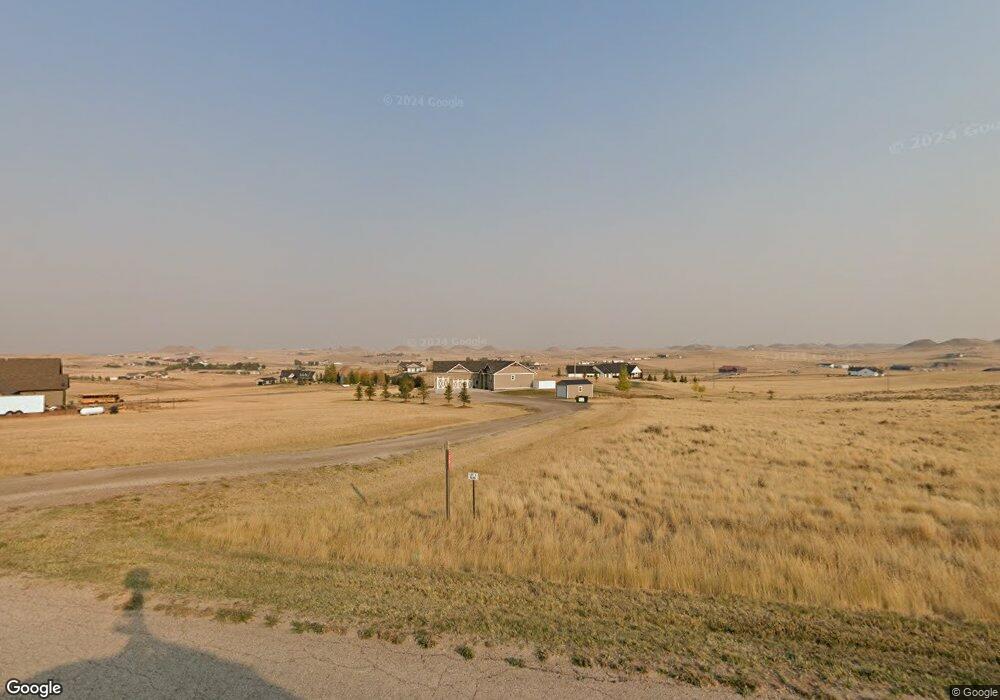
7201 Red Stone Rd Gillette, WY 82718
Estimated Value: $432,000 - $836,000
3
Beds
4
Baths
1,846
Sq Ft
$379/Sq Ft
Est. Value
About This Home
This home is located at 7201 Red Stone Rd, Gillette, WY 82718 and is currently estimated at $699,611, approximately $378 per square foot. 7201 Red Stone Rd is a home located in Campbell County with nearby schools including Westwood High School, Pronghorn Elementary School, and Sage Valley Junior High School.
Ownership History
Date
Name
Owned For
Owner Type
Purchase Details
Closed on
Jan 18, 2021
Sold by
Peterson Byron James
Bought by
Peterson Byron James and Peterson Ellen Patricia
Current Estimated Value
Purchase Details
Closed on
Mar 27, 2020
Sold by
Scallon Gregory J and Scallon Gail E
Bought by
Peterson Byron James
Home Financials for this Owner
Home Financials are based on the most recent Mortgage that was taken out on this home.
Original Mortgage
$540,715
Outstanding Balance
$479,008
Interest Rate
3.4%
Mortgage Type
VA
Estimated Equity
$220,603
Create a Home Valuation Report for This Property
The Home Valuation Report is an in-depth analysis detailing your home's value as well as a comparison with similar homes in the area
Purchase History
| Date | Buyer | Sale Price | Title Company |
|---|---|---|---|
| Peterson Byron James | -- | None Available | |
| Peterson Byron James | -- | None Available |
Source: Public Records
Mortgage History
| Date | Status | Borrower | Loan Amount |
|---|---|---|---|
| Open | Peterson Byron James | $540,715 |
Source: Public Records
Tax History
| Year | Tax Paid | Tax Assessment Tax Assessment Total Assessment is a certain percentage of the fair market value that is determined by local assessors to be the total taxable value of land and additions on the property. | Land | Improvement |
|---|---|---|---|---|
| 2025 | $4,072 | $50,966 | $7,351 | $43,615 |
| 2024 | $41 | $65,341 | $9,425 | $55,916 |
| 2023 | $3,973 | $63,709 | $8,089 | $55,620 |
| 2022 | $3,401 | $54,365 | $8,089 | $46,276 |
| 2021 | $2,199 | $50,551 | $8,407 | $42,144 |
| 2020 | $2,199 | $36,624 | $7,645 | $28,979 |
| 2019 | $2,184 | $36,460 | $7,645 | $28,815 |
| 2018 | $1,945 | $32,627 | $7,645 | $24,982 |
| 2017 | $261 | $4,391 | $4,391 | $0 |
| 2016 | $262 | $4,391 | $4,391 | $0 |
| 2015 | -- | $2,376 | $2,376 | $0 |
| 2014 | -- | $1,818 | $1,818 | $0 |
Source: Public Records
Map
Nearby Homes
- 3700 Sun Dancer Ct
- Tbd Bare Buttes Rd
- Tract 3 Bare Buttes Rd
- Tract 2 Bare Buttes Rd
- Tract 1 Bare Buttes Rd
- 6900 Stone Trail Ave
- 5101 Stone Ridge Ct
- 4608 Alex Way
- 8289 Force Rd -
- 704 Sako Dr
- 5805 Glock Ave
- 0 Addy Way Unit 20256236
- 0000 Addy Way
- 609 Express Dr
- 4205 Lexington Ave
- 4105 Brorby Blvd
- 2405 Big Lost Ct
- Tbd Pronghorn Ranch
- 4601 Running Dr W
- 2307 Big Lost Dr
- 7195 Red Stone Rd
- 7301 Red Stone Rd
- 5601 Red Hills Rd
- 5451 Red Hills Rd
- 5751 Red Hills Rd
- 7300 Red Stone Rd
- 7250 Red Stone Rd
- 7200 Red Stone Rd
- 7405 Red Stone Rd
- 5401 Red Hills Rd
- 7001 Red Stone Ct
- 7100 Crimson Ct
- 5885 Red Hills Rd
- 5851 Red Hills Rd
- 7400 Red Stone Rd
- 7000 Red Stone Ct
- 5351 Red Hills Rd
- 7101 Crimson Ct
- 6000 Vantage Ct
- 5750 Red Hills Rd
Your Personal Tour Guide
Ask me questions while you tour the home.