7204 Us Highway 51 N Millington, TN 38053
Estimated Value: $200,000 - $265,362
2
Beds
1
Bath
792
Sq Ft
$290/Sq Ft
Est. Value
About This Home
This home is located at 7204 Us Highway 51 N, Millington, TN 38053 and is currently estimated at $229,591, approximately $289 per square foot. 7204 Us Highway 51 N is a home located in Shelby County with nearby schools including Millington Elementary School, Millington High School, and Woodlawn Baptist Academy.
Ownership History
Date
Name
Owned For
Owner Type
Purchase Details
Closed on
Oct 7, 2021
Sold by
Wood Pease Llc
Bought by
Jones Henry L
Current Estimated Value
Purchase Details
Closed on
Oct 21, 2005
Sold by
Pease F Anne and Wood Walter Edwin
Bought by
Wood/Pease Llc
Purchase Details
Closed on
Oct 27, 2004
Sold by
Pease F Anne
Bought by
Pease F Anne and F Anne Pease Revocable Living Trust
Purchase Details
Closed on
Sep 9, 2004
Sold by
Pease F Anne
Bought by
Pease F Anne and Wood Walter Edwin
Create a Home Valuation Report for This Property
The Home Valuation Report is an in-depth analysis detailing your home's value as well as a comparison with similar homes in the area
Home Values in the Area
Average Home Value in this Area
Purchase History
| Date | Buyer | Sale Price | Title Company |
|---|---|---|---|
| Jones Henry L | $225,000 | None Available | |
| Wood/Pease Llc | -- | -- | |
| Pease F Anne | -- | -- | |
| Pease F Anne | -- | -- |
Source: Public Records
Tax History Compared to Growth
Tax History
| Year | Tax Paid | Tax Assessment Tax Assessment Total Assessment is a certain percentage of the fair market value that is determined by local assessors to be the total taxable value of land and additions on the property. | Land | Improvement |
|---|---|---|---|---|
| 2025 | $796 | $40,725 | $27,950 | $12,775 |
| 2024 | $796 | $34,600 | $24,525 | $10,075 |
| 2023 | $796 | $34,600 | $24,525 | $10,075 |
| 2022 | $796 | $34,600 | $24,525 | $10,075 |
| 2021 | $928 | $34,600 | $24,525 | $10,075 |
| 2020 | $636 | $30,000 | $24,525 | $5,475 |
| 2019 | $462 | $30,000 | $24,525 | $5,475 |
| 2018 | $1,215 | $30,000 | $24,525 | $5,475 |
| 2017 | $1,692 | $30,000 | $24,525 | $5,475 |
| 2016 | $627 | $29,350 | $0 | $0 |
| 2014 | $464 | $29,350 | $0 | $0 |
Source: Public Records
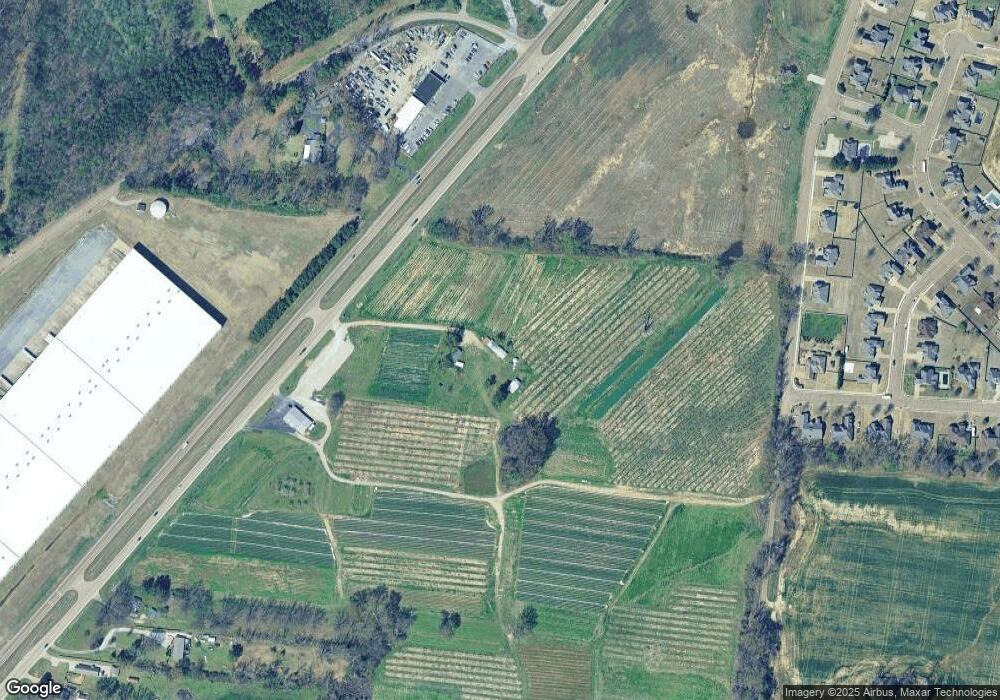
Map
Nearby Homes
- 4217 Sandy Hollow Ln
- 4255 Sandy Hollow Ln
- 4314 Sandy Hollow Ln
- 4232 Sandy Hollow Ln
- 4272 Sandy Hollow Ln
- 4266 Ln
- 4273 Peach Run Ln
- Dover Plan at The Orchard
- Clifton Plan at The Orchard
- Cameron Plan at The Orchard
- Kenner Plan at The Orchard
- Bristol Plan at The Orchard
- Lacombe Plan at The Orchard
- 4323 Sandy Hollow Ln
- 4315 Peach Run Ln
- 4270 Peach Run Lane Ln
- 6968 Tennessee 3
- 3945 Crenshaw Rd
- 4274 Peach Run Lane Ln
- 4288 Peach Run Lane Ln
- 7265 U S 51
- 7225 Us Highway 51 N
- 7225 Us Highway 51 N
- 4146 Dawson Ridge Dr
- 4143 Dawson Ridge Dr
- 7180 Bucknell Rd
- 7202 Bucknell Rd
- 7202 Bucknell Rd
- 7210 Bucknell Rd
- 4159 Dawson Ridge Dr
- 7220 Bucknell Rd
- 7220 Bucknell Rd
- 7177 Alexander Hill Ln
- 7173 Alexander Hill Ln
- 7185 Alexander Hill Dr
- 7185 Alexander Hill Ln
- 7193 Alexander Hill Ln
- 7236 Bucknell Rd
- 4177 Dawson Ridge Dr
- 7197 Alexander Hill Ln