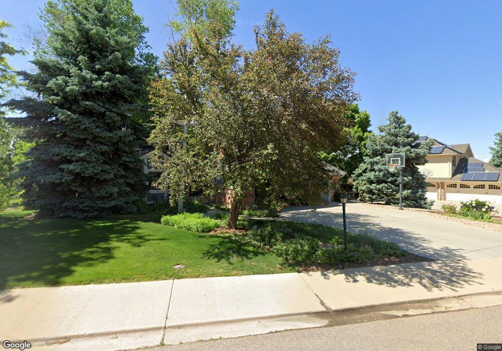
7205 Gold Nugget Dr Niwot, CO 80503
Niwot NeighborhoodEstimated Value: $1,386,117 - $1,592,000
4
Beds
4
Baths
2,935
Sq Ft
$503/Sq Ft
Est. Value
About This Home
This home is located at 7205 Gold Nugget Dr, Niwot, CO 80503 and is currently estimated at $1,475,779, approximately $502 per square foot. 7205 Gold Nugget Dr is a home located in Boulder County with nearby schools including Niwot Elementary School, Sunset Middle School, and Niwot High School.
Ownership History
Date
Name
Owned For
Owner Type
Purchase Details
Closed on
Jun 29, 1990
Bought by
Piland Richard A and Piland Dixie L
Current Estimated Value
Purchase Details
Closed on
Jan 3, 1989
Bought by
Piland Richard A and Piland Dixie L
Purchase Details
Closed on
May 17, 1988
Bought by
Piland Richard A and Piland Dixie L
Purchase Details
Closed on
Sep 13, 1972
Bought by
Piland Richard A and Piland Dixie L
Create a Home Valuation Report for This Property
The Home Valuation Report is an in-depth analysis detailing your home's value as well as a comparison with similar homes in the area
Home Values in the Area
Average Home Value in this Area
Purchase History
| Date | Buyer | Sale Price | Title Company |
|---|---|---|---|
| Piland Richard A | $256,200 | -- | |
| Piland Richard A | $48,000 | -- | |
| Piland Richard A | $535,000 | -- | |
| Piland Richard A | $47,700 | -- |
Source: Public Records
Tax History Compared to Growth
Tax History
| Year | Tax Paid | Tax Assessment Tax Assessment Total Assessment is a certain percentage of the fair market value that is determined by local assessors to be the total taxable value of land and additions on the property. | Land | Improvement |
|---|---|---|---|---|
| 2025 | $9,200 | $93,701 | $25,863 | $67,838 |
| 2024 | $9,200 | $93,701 | $25,863 | $67,838 |
| 2023 | $9,079 | $99,783 | $23,939 | $79,529 |
| 2022 | $6,901 | $74,428 | $21,545 | $52,883 |
| 2021 | $6,993 | $76,569 | $22,165 | $54,404 |
| 2020 | $6,231 | $69,155 | $16,517 | $52,638 |
| 2019 | $6,133 | $69,155 | $16,517 | $52,638 |
| 2018 | $5,298 | $61,056 | $12,456 | $48,600 |
| 2017 | $4,986 | $67,501 | $13,771 | $53,730 |
| 2016 | $5,030 | $61,189 | $14,806 | $46,383 |
| 2015 | $4,790 | $49,750 | $16,716 | $33,034 |
| 2014 | $4,325 | $49,750 | $16,716 | $33,034 |
Source: Public Records
Map
Nearby Homes
- 7204 Spring Creek Cir
- 7220 Spring Creek Cir
- 8840 Niwot Rd
- 8896 Niwot Rd
- 8576 Niwot Meadow Farm Rd
- 8568 Foxhaven Dr
- 8836 Marathon Rd
- 8536 Foxhaven Ct
- 6851 Goldbranch Dr
- 8461 Pawnee Ln
- 6816 Goldbranch Dr
- 8392 Niwot Meadow Farm Rd
- 8942 Comanche Rd
- 9258 Niwot Hills Dr
- 8748 Skyland Dr
- 6668 Walker Ct
- 9260 Shooting Star Ct
- 9261 Blue Spruce Ln
- 8400 Sawtooth Ln
- 7196 Christopher Ct
- 7235 Gold Nugget Dr
- 7183 Gold Nugget Dr
- 7222 Fox Hunt Ct
- 7232 Fox Hunt Ct
- 7182 Gold Nugget Dr
- 7214 Gold Nugget Dr
- 7172 Gold Nugget Dr
- 7265 Gold Nugget Dr
- 7173 Gold Nugget Dr
- 7244 Gold Nugget Dr
- 7162 Gold Nugget Dr
- 7223 Fox Hunt Ct
- 8830 Spring Creek Trail
- 7274 Gold Nugget Dr
- 7295 Gold Nugget Dr
- 7163 Gold Nugget Dr
- 7152 Gold Nugget Dr
- 7231 Fox Hunt Ct
- 7192 Snow Peak Ct
- 7294 Gold Nugget Dr