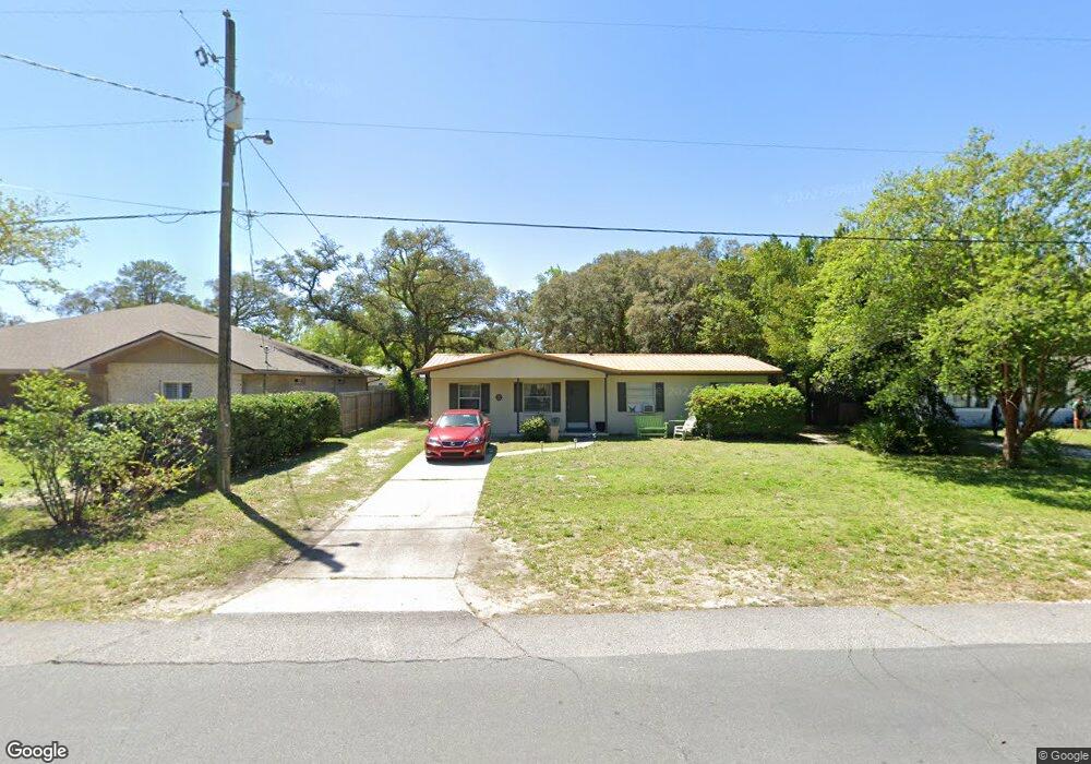
721 Bob Sikes Blvd Fort Walton Beach, FL 32547
Wright NeighborhoodEstimated Value: $225,444 - $258,000
3
Beds
1
Bath
1,029
Sq Ft
$232/Sq Ft
Est. Value
About This Home
This home is located at 721 Bob Sikes Blvd, Fort Walton Beach, FL 32547 and is currently estimated at $238,861, approximately $232 per square foot. 721 Bob Sikes Blvd is a home located in Okaloosa County with nearby schools including Longwood Elementary School, W.C. Pryor Middle School, and Choctawhatchee Senior High School.
Ownership History
Date
Name
Owned For
Owner Type
Purchase Details
Closed on
Jan 24, 2018
Sold by
Shade Robert Edward
Bought by
Shade Robert Edward
Current Estimated Value
Home Financials for this Owner
Home Financials are based on the most recent Mortgage that was taken out on this home.
Original Mortgage
$31,888
Outstanding Balance
$26,903
Interest Rate
3.93%
Mortgage Type
Credit Line Revolving
Estimated Equity
$211,958
Purchase Details
Closed on
Jul 31, 2015
Sold by
Garrett Teddy Lamar
Bought by
Shade Robert Edward
Purchase Details
Closed on
Sep 20, 1990
Sold by
Garrett Teddy Lamar and Mcgee Patricia A
Bought by
Garrett Teddy Lamar
Create a Home Valuation Report for This Property
The Home Valuation Report is an in-depth analysis detailing your home's value as well as a comparison with similar homes in the area
Home Values in the Area
Average Home Value in this Area
Purchase History
| Date | Buyer | Sale Price | Title Company |
|---|---|---|---|
| Shade Robert Edward | -- | Old South Land Title | |
| Shade Robert Edward | -- | Attorney | |
| Garrett Teddy Lamar | -- | -- |
Source: Public Records
Mortgage History
| Date | Status | Borrower | Loan Amount |
|---|---|---|---|
| Open | Shade Robert Edward | $31,888 |
Source: Public Records
Tax History Compared to Growth
Tax History
| Year | Tax Paid | Tax Assessment Tax Assessment Total Assessment is a certain percentage of the fair market value that is determined by local assessors to be the total taxable value of land and additions on the property. | Land | Improvement |
|---|---|---|---|---|
| 2024 | $675 | $96,285 | -- | -- |
| 2023 | $675 | $93,481 | $0 | $0 |
| 2022 | $648 | $90,758 | $0 | $0 |
| 2021 | $638 | $88,115 | $0 | $0 |
| 2020 | $629 | $86,898 | $0 | $0 |
| 2019 | $614 | $84,944 | $0 | $0 |
| 2018 | $602 | $83,360 | $0 | $0 |
| 2017 | $0 | $81,645 | $0 | $0 |
| 2016 | $570 | $79,966 | $0 | $0 |
| 2015 | $1,015 | $75,451 | $0 | $0 |
| 2014 | $974 | $72,334 | $0 | $0 |
Source: Public Records
Map
Nearby Homes
- 413 Gerold St
- 401 Gerold St
- 706 Mary Ave
- 603 Bob Sikes Blvd
- 6 Chelsea Dr NW
- 2392 Cummings Dr
- 16 Chelsea Dr NW
- 801 Playground Rd
- 619 Spencer Dr
- 526 Cheshire Ave NW
- 926 Lois St
- 503 Newcastle Dr
- 528 Cheshire Ave NW
- 605 Colonial Dr Unit 2
- 611 Colonial Dr Unit 6
- 605 Colonial Dr Unit 4
- 609 Colonial Dr Unit 2
- 615 Colonial Dr Unit 1
- 525 Taylor Cir
- 24 Cinderella Ln NW
- 719 Bob Sikes Blvd
- 723 Bob Sikes Blvd
- 717 Bob Sikes Blvd
- 725 Bob Sikes Blvd
- 726 Mary Ave
- 420 Gerold St
- 424 Gerold St
- 418 Gerold St
- 715 Bob Sikes Blvd
- 123 Michael Ave
- 722 Mary Ave
- 0 Mary Ave
- 416 Gerold St Unit A
- 416 Gerold St Unit B
- 800 Pinedale Rd
- 122 Michael Ave
- 713 Bob Sikes Blvd
- 121 Michael Ave
- 503 Division St
- 729 Mary Ave