Estimated Value: $344,000 - $368,000
1
Bed
--
Bath
772
Sq Ft
$460/Sq Ft
Est. Value
About This Home
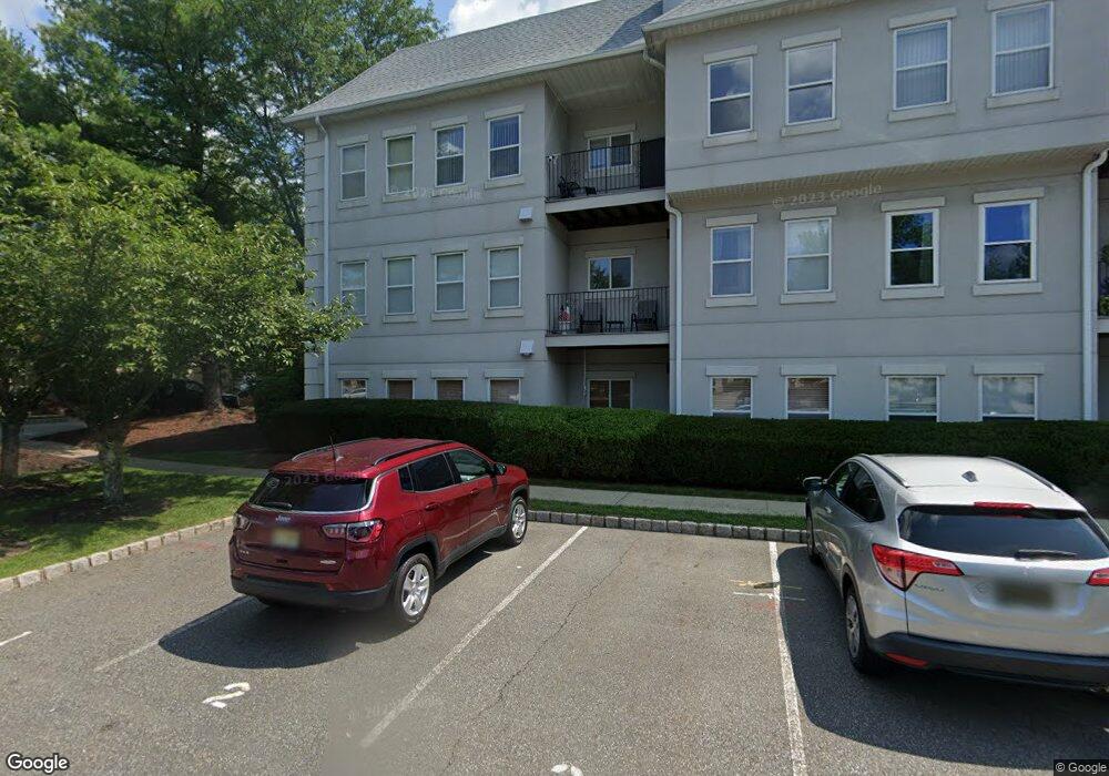
This home is located at 721 Brittany Dr, Wayne, NJ 07470 and is currently estimated at $354,852, approximately $459 per square foot. 721 Brittany Dr is a home located in Passaic County with nearby schools including Albert P. Terhune Elementary School, Schuyler-Colfax Middle School, and Wayne Hills High School.
Ownership History
Date
Name
Owned For
Owner Type
Purchase Details
Closed on
Jan 3, 2008
Sold by
Rupff Doreen A
Bought by
Guastini Doreen A
Current Estimated Value
Purchase Details
Closed on
Jan 25, 2005
Sold by
Emanuel Joshua
Bought by
Rupff Doreen
Home Financials for this Owner
Home Financials are based on the most recent Mortgage that was taken out on this home.
Original Mortgage
$186,750
Interest Rate
5.83%
Mortgage Type
Unknown
Purchase Details
Closed on
Jun 12, 2003
Sold by
Emanuel Farid
Bought by
Emanuel Joshua
Home Financials for this Owner
Home Financials are based on the most recent Mortgage that was taken out on this home.
Original Mortgage
$180,000
Interest Rate
5.69%
Purchase Details
Closed on
May 13, 1994
Sold by
Wayne Properties
Bought by
Emanuel Farid
Home Financials for this Owner
Home Financials are based on the most recent Mortgage that was taken out on this home.
Original Mortgage
$80,000
Interest Rate
8.29%
Create a Home Valuation Report for This Property
The Home Valuation Report is an in-depth analysis detailing your home's value as well as a comparison with similar homes in the area
Home Values in the Area
Average Home Value in this Area
Purchase History
| Date | Buyer | Sale Price | Title Company |
|---|---|---|---|
| Guastini Doreen A | -- | -- | |
| Rupff Doreen | $249,000 | -- | |
| Emanuel Joshua | $180,000 | -- | |
| Emanuel Farid | $105,000 | -- |
Source: Public Records
Mortgage History
| Date | Status | Borrower | Loan Amount |
|---|---|---|---|
| Previous Owner | Rupff Doreen | $186,750 | |
| Previous Owner | Rupff Doreen | $188,750 | |
| Previous Owner | Emanuel Joshua | $180,000 | |
| Previous Owner | Emanuel Farid | $80,000 |
Source: Public Records
Tax History
| Year | Tax Paid | Tax Assessment Tax Assessment Total Assessment is a certain percentage of the fair market value that is determined by local assessors to be the total taxable value of land and additions on the property. | Land | Improvement |
|---|---|---|---|---|
| 2025 | $5,928 | $99,700 | $45,700 | $54,000 |
| 2024 | $5,701 | $99,700 | $45,700 | $54,000 |
Source: Public Records
Map
Nearby Homes
- 511 Brittany Dr
- 703 Brittany Dr
- 8605 Brittany Dr
- 8717 Brittany Dr
- 8015 Brittany Dr
- 3 Brandywine Rd
- 1360 Hamburg Turnpike Unit 104
- 27 Grandview Dr
- 138 Levinberg Ln
- 2 Eden Place
- 37 Atwood Place
- 92 Old Homestead Rd
- 3 Agawam Dr
- 24 Peterson Rd
- 47 Chicopee Dr
- 12 Hadley Ln
- 39A Atherton Ct Unit A
- 1316 Alps Rd
- 1656 Hamburg Turnpike
- 1666 Hamburg Turnpike
- 722 Brittany Dr
- 723 Brittany Dr
- 717 Brittany Dr
- 718 Brittany Dr
- 719 Brittany Dr Unit 719
- 724 Brittany Dr
- 720 Brittany Dr
- 713 Brittany Dr
- 714 Brittany Dr
- 715 Brittany Dr
- 716 Brittany Dr
- 709 Brittany Dr
- 710 Brittany Dr
- 711 Brittany Dr
- 712 Brittany Dr
- 8601 Brittany Dr Unit 8601
- 705 Brittany Dr
- 706 Brittany Dr Unit C0706
- 707 Brittany Dr
- 708 Brittany Dr
Your Personal Tour Guide
Ask me questions while you tour the home.