Estimated Value: $298,000 - $375,000
3
Beds
2
Baths
2,286
Sq Ft
$149/Sq Ft
Est. Value
About This Home
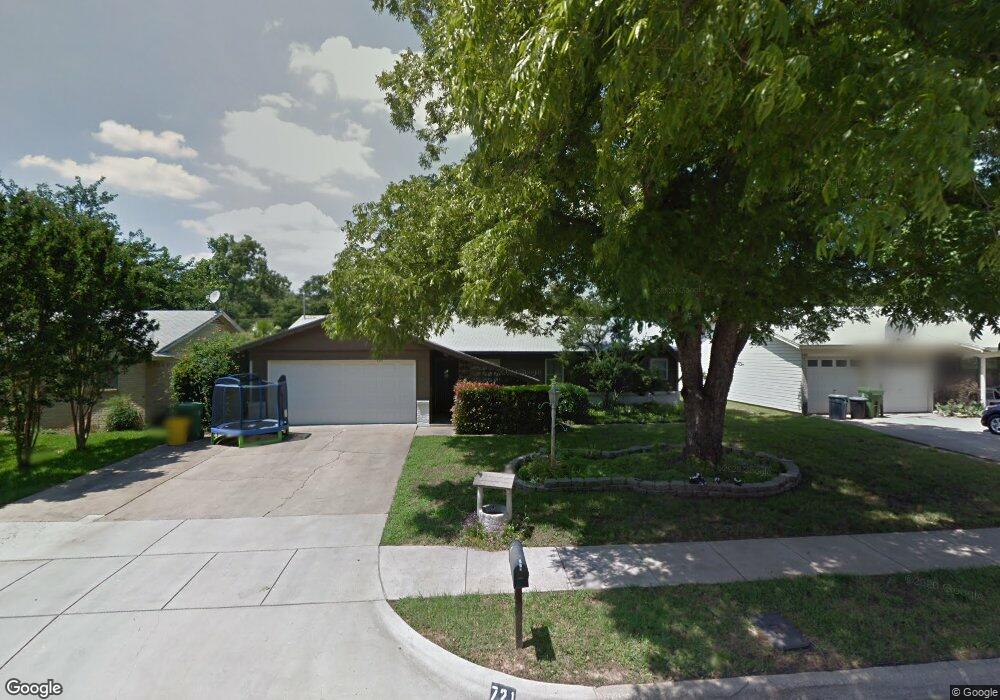
This home is located at 721 Brookfield Dr, Hurst, TX 76053 and is currently estimated at $341,189, approximately $149 per square foot. 721 Brookfield Dr is a home located in Tarrant County with nearby schools including Bellaire Elementary School, Hurst J High School, and L.D. Bell High School.
Ownership History
Date
Name
Owned For
Owner Type
Purchase Details
Closed on
Nov 26, 2024
Sold by
Evans Keith Wayne
Bought by
Evans Keith Wayne and Brown John
Current Estimated Value
Home Financials for this Owner
Home Financials are based on the most recent Mortgage that was taken out on this home.
Original Mortgage
$125,000
Outstanding Balance
$122,099
Interest Rate
6.44%
Mortgage Type
Credit Line Revolving
Estimated Equity
$219,090
Purchase Details
Closed on
Nov 15, 2018
Sold by
Lemaster Debra Jones and Manning Debra
Bought by
Evans Keith Wayne
Home Financials for this Owner
Home Financials are based on the most recent Mortgage that was taken out on this home.
Original Mortgage
$157,102
Interest Rate
5.37%
Mortgage Type
FHA
Create a Home Valuation Report for This Property
The Home Valuation Report is an in-depth analysis detailing your home's value as well as a comparison with similar homes in the area
Home Values in the Area
Average Home Value in this Area
Purchase History
| Date | Buyer | Sale Price | Title Company |
|---|---|---|---|
| Evans Keith Wayne | -- | None Listed On Document | |
| Evans Keith Wayne | -- | None Listed On Document | |
| Evans Keith Wayne | -- | Chicago Title |
Source: Public Records
Mortgage History
| Date | Status | Borrower | Loan Amount |
|---|---|---|---|
| Open | Evans Keith Wayne | $125,000 | |
| Closed | Evans Keith Wayne | $125,000 | |
| Previous Owner | Evans Keith Wayne | $157,102 |
Source: Public Records
Tax History Compared to Growth
Tax History
| Year | Tax Paid | Tax Assessment Tax Assessment Total Assessment is a certain percentage of the fair market value that is determined by local assessors to be the total taxable value of land and additions on the property. | Land | Improvement |
|---|---|---|---|---|
| 2025 | $6,128 | $296,000 | $50,000 | $246,000 |
| 2024 | $6,128 | $315,000 | $50,000 | $265,000 |
| 2023 | $5,009 | $250,000 | $35,000 | $215,000 |
| 2022 | $3,684 | $160,000 | $35,000 | $125,000 |
| 2021 | $3,859 | $160,000 | $35,000 | $125,000 |
| 2020 | $3,849 | $160,000 | $35,000 | $125,000 |
| 2019 | $3,916 | $160,000 | $35,000 | $125,000 |
| 2018 | $3,295 | $157,724 | $15,000 | $142,724 |
| 2017 | $3,628 | $158,509 | $15,000 | $143,509 |
| 2016 | $3,299 | $190,012 | $15,000 | $175,012 |
| 2015 | $2,689 | $118,500 | $15,000 | $103,500 |
| 2014 | $2,689 | $118,500 | $15,000 | $103,500 |
Source: Public Records
Map
Nearby Homes
- 712 Brookfield Dr
- 720 Tanglewood Dr
- 704 Tanglewood Dr
- 1501 Woodridge Cir
- 1407 Woodridge Cir
- 716 E Pecan St Unit 716 - 722
- 1302 Woodridge Cir
- 1309 Driftwood Dr
- 1200 Tanglewood Trail
- 212 E Ellen Ave
- 812 Forest Hollow Dr
- 508 Oak Park Dr
- 832 Chateau Valee Cir
- 3216 Jetranger Rd
- 644 Caduceus Ln
- 260 Corinna Ct
- 120 Donald Dr
- 803 Glenda Dr
- 802 Brown Trail
- 849 Russell Ln
- 725 Brookfield Dr
- 717 Brookfield Dr
- 729 Brookfield Dr
- 713 Brookfield Dr
- 724 Greenway Dr
- 728 Greenway Dr
- 720 Greenway Dr
- 709 Brookfield Dr
- 733 Brookfield Dr
- 732 Greenway Dr
- 716 Greenway Dr
- 724 Brookfield Dr
- 728 Brookfield Dr
- 720 Brookfield Dr
- 732 Brookfield Dr
- 737 Brookfield Dr
- 736 Greenway Dr
- 705 Brookfield Dr
- 716 Brookfield Dr
- 712 Greenway Dr